Wharton State Forest - New Jersey Department of Environmental Protection
DIRECTIONS:
GPS Coordinates 39.74219, -74.72596
 |
| Atsion Parking |
TRAIL MAP:
Wharton State Forest Trail Map (updated 7/22) - New Jersey Department of Environmental Protection
HIKE DISTANCE: 9.6 miles
THE HIKE:
 |
| The yellow Mullica River Trail starts behind the building ruins. |
 |
| The is the first marker. The trail follows the sand road ... |
 |
| ... past this church ... |
 |
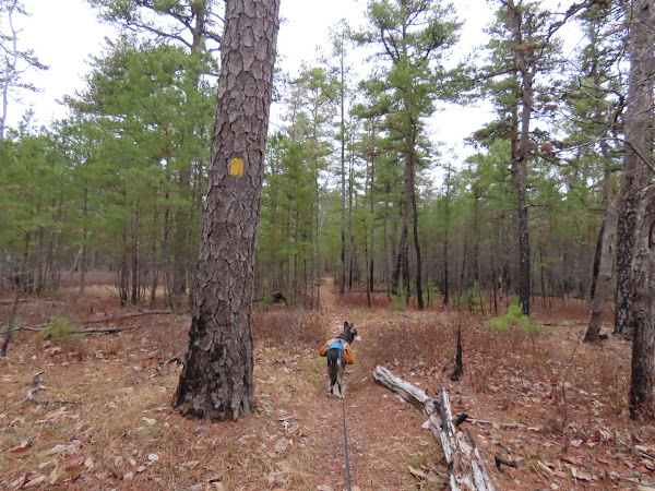
| ... then leaves the road on a footpath. |
 |
| Mullica River |
 |
| Turning left on purple to loop around back to this spot. |
 |
| Right on green. |
 |
| Right on yellow. |
 |
| Finishing the loop and retracing back. |


I love that route. Another option is following the abandoned railroad tracks to the Carranza Monument and back.
ReplyDeleteIs that actually doable? Looked kind of overgrown and impassible from where I crossed over. Sounds like a great idea if it can be done.
DeleteThe route itself sounds very interesting, but I have to agree with Daniela in that (even a decade+ ago, I saw plenty of overgrowth, including small _trees_ right in the middle of the tracks.) What would be ultimately cool: If they could not only clear the debris, but maybe do what they do with other unused tracks around the country => Convert the ol' tracks into a rail-trail! (I know, funding...or lack of it... But hey, a fellow can _dream_, can't he??) :)
DeleteJim
I would say just clear it and call it a day. Why spend money to make a rail trail? I hiked an old rail bed in the Catskills a while back just before they were getting ready to make it into a manicured rail trail and it was the coolest trail ever just the way it was. I was so glad I got to hike it before they ruined it and made it all pretty.
DeleteHi Daniela -- glad to see you down my way (in South Jersey) once again...never have a shortage of places to hike in Wharton State Forest! I did similar route back in 2011...only I extended it a bit by heading over to Quaker Bridge itself before heading back via the Wilderness Camps Connector Trail, then back to Atsion. (Although, I'm guessing you didn't do to QB itself because Brodie may not like the surface of the bridge...I _know_ my Penny wouldn't fare too well on it either!)
ReplyDeleteAnyway, keep the South Jersey hikes a-comin'! :)
Jim
Hey Jim! I have hiked from there over to Quaker Bridge before and from the other direction also. Brodie will walk across it. Shawnee was the one who had to be carried - all 70 pounds of her! I passed on it this time. Trying to keep my mileage down a bit. Well, haven't actually been too successful with that. I was just diagnosed with arthritis in my left ankle as a result of previous injuries. For now we are managing with cortisone injections and Meloxicam. For the most part it is pretty OK but when I get to around 9 miles, OMG, the pain! It sucks. I will eventually need ankle replacement surgery but the doctor wants to wait until it becomes completely debilitating before talking about that. So bummed!
Delete