

Tall Pines State Preserve - NJ Department of Environmental Protection
Tall Pines State Preserve - Friends of Tall Pines Preserve
DIRECTIONS:
GPS Coordinates 39.78077, -75.13963
 |
| HUGE parking lot - this is only about half of it. |
TRAIL MAPS:
Tall Pines State Preserve - NJ Department of Environmental Protection
Tall Pines State Preserve Trail System - Friends of Tall Pines Preserve
HIKE DISTANCE:
Hiked together, all a 5 - 10 minute drive apart:Tall Pines State Preserve, NJ - 3.5 miles
Ceres Park, NJ - Back Lot - 4.0 miles
Ceres Park, NJ - 1.5 miles
THE HIKE:
This park was an old golf course so 95% of the trails are paved. The dirt paths are short and connect one paved path to the other.
 |
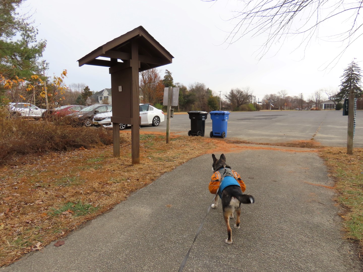
| We headed to the far side of the parking lot from where we parked. |


 |
| Parts of the terrain are surprisingly hilly. |


 |
| A downy woodpecker with breakfast. |


 |
| This side path is supposed to lead to a scenic view of Mantua Creek but it's not that easy to get to ... |
 |
| ... and you have to stand in sticker bushes for the view. The views from the bridges are better. |


 |
| Two Northern Flickers |

 |
| Part of the trail loops closely by residences then proceeds back into the park. |


 |
| Looks like something came out of the water, crossed them turned back just before we got there. |


 |
| Crossing from the inner path over to the perimeter path ... |
 |
| ... just before the parking lot. |
No comments:
Post a Comment