

Forbes State Forest Wild and Natural Areas - PA Department of Conservation and Natural Resources
Mount Davis Natural Area Fact Sheet - PA Department of Conservation and Natural Resources
DIRECTIONS:
GPS Coordinates 39.76767, -79.18919
 |
| Laurel Run Trailhead Parking |
TRAIL MAP:
Mount Davis Area Trail Map - PA Department of Conservation and Natural Resources
HIKE DISTANCE: 8.9 miles
THE HIKE:
Day two of driving from Missouri back to New Jersey. I had this hike in my file since the printed date stamp of 9/30/2014. Because of harsh weather on the high peak of Mount Davis this hike was never an option the many times I was in the area previously. On this day, the weather was gorgeous, very windy but highs in the upper 60's. The following day the highs would be in the 30's so the timing was perfect.

 |
| Laurel Run Trail - red blazes are not the color of the trail rather indicate permitted usage, in this case multi-use (hike/bike/horse). Yellow is foot traffic only. |

 |
| Passing by the Livengood Trail which would be our return route. |

 |
| Staying on the Laurel Run Trail. |


 |
| Coming out at South Wolf Rock Road where we turned right. |
 |
| A gravel road walk to connect to the next trail. |
 |
| Coming up on Laurel Run and the Tub Mill Trailhead. |
 |
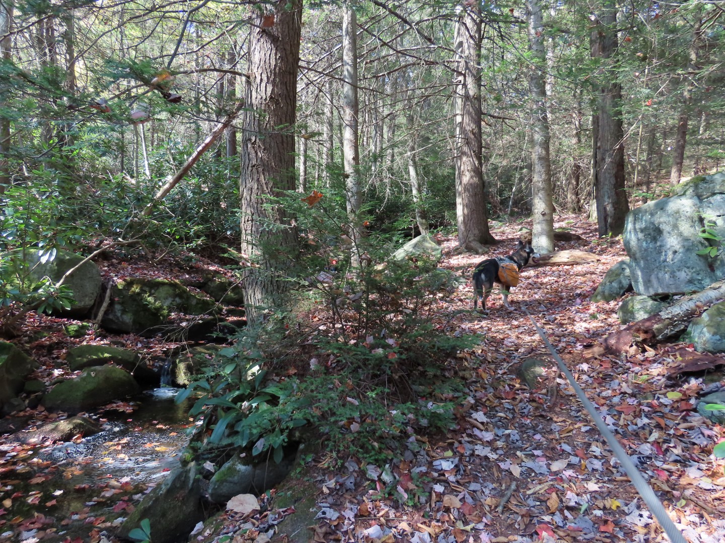
| Laurel Run - not much water this time of year. |
 |
| Staying with the Tub Mill Trail all the way to the end. |


 |
| The Tub Mill Trail crosses over Shelter Rock Road. |

 |
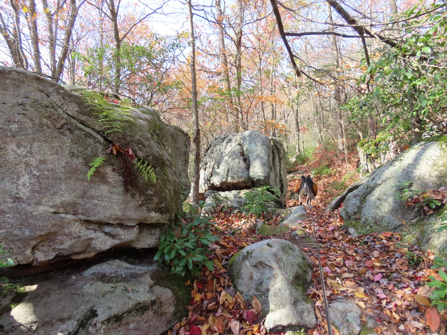
| Foot traffic only on this portion. |

 |
| At the end of Tub Mill Trail, left on High Point Trail. |


 |
| I only made it up about 4 levels of the observation tower. It was crazy windy and my fear of heights was kicking in so I aborted any attempt to go higher. |
 |
| Brodie waiting patiently down below. The little dog off to the right was a mini-me of Brodie. |
 |
| The high point survey marker was on top of a steep, high boulder so I had to zoom in from another boulder. |
 |
| Observation Tower on Mount Davis |
 |
| Passing by the parking area of Mount Davis. |
 |
| Turning left on South Wolf Rock Road where the paved road becomes gravel. Cars going to the parking lot come in from the right so there is very little traffic on this part of the road. |

 |
| A little farther up ahead on the right ... |
 |
| ... a small parking lot and an observation deck for a great view. |
 |
| High Point Lake View |
 |
| Continuing on South Wolf Rock Road keeping left at the fork. |

 |
| Right on Livengood Trail. |


 |
| Right on Laurel Run Trail to retrace to the end. |


No comments:
Post a Comment