ABOUT THE PARK:
DIRECTIONS:
GPS Coordinates 41.02288, -74.56052
TRAIL MAP:
Morris County Highlands Trails Map 126 - New York New Jersey Trail Conference (NOTE: Even though the map version I have is 2023, seems Morris County made some trail changes that are not reflected on the trail conference map, noted in the hike description, below. The Morris County map is accurate.)
HIKE DISTANCE: 10.2 miles
THE HIKE:
Half of this hike is in Mahlon Dickerson Reservation and half in the Mount Paul section of Kittatinny State Park and can easily be split into two 5-mile hikes. The last time I hiked the Mount Paul section was 10 years ago,
August 30, 2014 and
October 5, 2014. Not much has changed since then. The entrance drive has been redone but the trails are the same and it does not appear that blazing has been updated.
 |
| Facing Sparta Mountain Road, we turned right and road walked a short distance almost to the top of the hill where we turned left ... |
 |
| ... then a few steps later ... |
 |
| ... left again on the teal Highlands Trail/white trail. |
 |
| At the cairn ... |
 |
| ... left on purple. |
 |
| After this intersection ... |
 |
| ... staying straight on purple ... |
 |
| ... then right on white. |
 |
| Left on red. (NOTE: The trail conference map shows red incorrectly as blue) |
 |
| Red ends at the Odgen Mine Railroad trail where we would turn right but first a few steps to the left ... |
 |
| ... to see if there was anything going on at the pond but all was quiet. |
 |
| The Ogden Mine Railroad is blazed in green. The chunky gravel is miserable to walk on. Whose idea was that? |
 |
| There is a fairly long section with an alternate footpath on the left which I gladly took. |
 |
| The green blazing leaves the railbed to the right which is where we turned. (NOTE: This is shown incorrectly as orange on the trail conference map.) |
 |
| At the end of green, left on white. |
 |
| If you take the black dot on white trail to the right, it will lead back to the white/Highlands Trail where the hike started for a 5-mile version. We went straight on white. (NOTE: The black dot on white trail is shown as a red dash line on the trail conference map.) |
 |
| White ends at Sparta Mountain Road where we turned right. |
 |
| In a few steps left on the teal Highlands Trail. |
 |
| At a T-intersection the Highlands Trail turns right. If you aren't paying attention you might continue straight ending up on blue. Yes, my head was somewhere else and that is what I did. So I backtracked to where I should have turned left on a footpath leaving the woods road shortly after that T-intersection. |
 |
| At the power cut ... |
 |
| ... the Highlands Trail turns right and follows the power cut a short distance ... |
 |
| ... to the Mount Paul entrance road/parking lot where we turned right leaving the Highlands Trail. |
 |
| The paved road has been redone - white stripes were not there 10 years ago. Neither were the lights and gravel. |
 |
| Just before the bend in the road, right on green. |
 |
| Along the way there is an unmarked side trail that leads down to the orange trail around the pond at the upper western edge but we stayed with green looping around to meeting up with orange at the southern end of the pond. |
 |
| We went over these boulders to meet back up with orange/green... |
 |
| ... coming out at a clearing ... |
 |
| ... and a deck overlooking the pond on the left. |
 |
| After taking a break on the deck so took a quick look at the pond from the dam (in the rain) ... |
 |
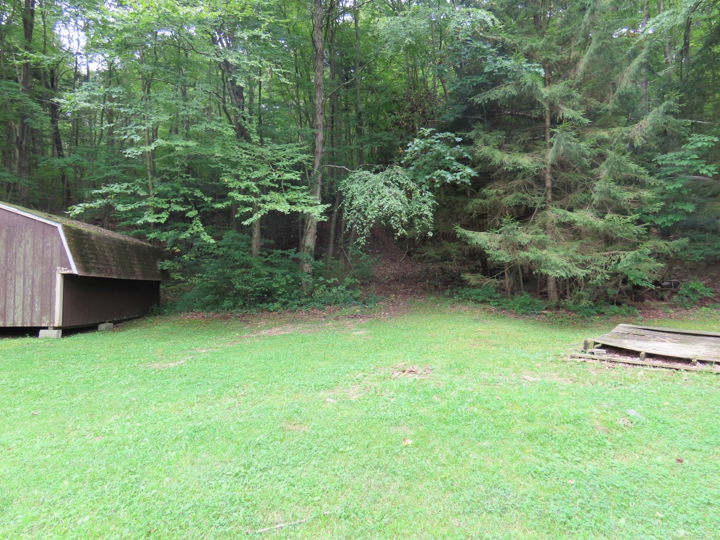
| ... then turned around to head steeply uphill to the right of the shed. |
 |
| At the top right on yellow. |
 |
| Yellow continues straight as a footpath although it does not look very clear. The woods road continues to the left as the charcoal trail. |
 |
| The charcoal trail ends as the white trail comes in from the left. |
 |
| White leads all the way back to the parking area. |


(sorry for repeat) I meant to post this with my account, not anonymous.
ReplyDeleteThe last time I was there a few years go I ran into a few manned deer stands on the far side of the lake from the Kean Skylands buildings. I think I even saw a trail cam. I was surprised to find hunters that close to the periphery. From what I recall, it's not a particularly large area from Sparta Mountain Road, at least not compared to south of Weldon Road.
I had combined the Mount Paul section with a loop through Sparta Mountain WMA, starting from the end of Rock Lodge Road. After backtracking over Ridge Road and Russia Brook, I went over to Ryker Lake and up to the Edison Mine ruins past Edison Pond. From there, up the overlook above the bog. I planned to attempt to complete the loop by heading east along the power cut into the watershed, when I still had a permit. At the time, the NYNJTC map showed a woods road diverting from the power cut and connecting with Stonehenge Drive in a small development that looks like an outline of Mickey Mouse on the map. I found the road, but, unfortunately, it abruptly stops at fenced private property of one of the homes there. Seeing no alternatives, I bushwhacked through a swamp and uphill behind the backyards until I reached Rock Lodge Road. NYNJTC has since corrected the map, at my behest, to show the road dead ends before the private property.
No problem, I can delete the first one.
DeleteI hiked something similar when I had the Watershed permit. I found some nice unmarked trails the other side of Rock Lodge Road heading towards Lake Stockholm and south from there.