

Fuller Mountain Preserve - Orange County Land Trust
DIRECTIONS:
GPS Coordinates 41.212518, -74.369599
 |
| Small parking lot on Bowen Road. |
TRAIL MAPS:
Fuller Mountain Preserve Trail Map - Orange County Land Trust
Northern New Jersey Highlands Trails Map 152 - New York New Jersey Trail Conference
HIKE DISTANCE: 2.6 miles
Hiked together with Appalachian Trail, NJ - Warwick Turnpike to Surprise Lake Loop - 8.9 miles
THE HIKE:
This small preserve is 1.7 miles (3 minutes) from the Appalachian Trail parking on Warwick Turnpike at Wawayanda State Park, just over the New York state line. I had always wanted to hike it as an add-on to a nearby hike that wasn't quite long enough on it's own.

 |
| I started on the southern loop hoping to give enough time for the haze to lift before heading to the overlook at the northern end. |
 |
| Following along Fuller's Brook. |


 |
| Just the other side of the rock hop it is confusing where to go as no markers are visible. Finally saw one to the right on a downed log (center of picture). |
 |
| From there I could see the next marker heading uphill out of the gorge. |
 |
| The trail then turns left and follows the rim but markers are missing so it is easy to lose the trail. |


 |
| Coming out on Bowen Road ... |
 |
| ... left to cross over the creek on the road towards the parking lot ... |
 |
| ... then right just after the creek to continue on the orange trail. |

 |
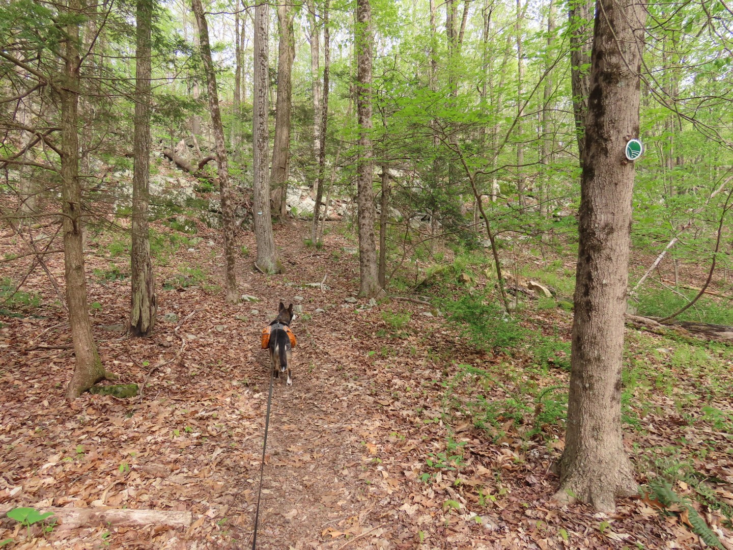
| We turned right on green which turned out to be the more rugged trail. |


 |
| Lots of bird activity with more migrants having arrived from the south. That Scarlet Tanager was serenading almost the entire time. |
 |
| When green ends, right on orange. |

 |
| Orange leads directly to the overlook on Round Hill. |
 |
| I could faintly make out the Catskills in the distance. |


 |
| And there is that Scarlet Tanager! |
 |
| Heading back on orange. |


No comments:
Post a Comment