

Wawayanda State Park - NJ Department of Environmental Protection
GPS Coordinates 41.14294, -74.40737
 |
| P7 Terrace Pond Parking on Clinton Road |
TRAIL MAP:
Northern New Jersey Highlands Trails Map 152 - NYNJ Trail Conference
The above map does not show all of the trails for this hike. All trails can be seen on Trailforks.
HIKE DISTANCE: 6.8 miles
THE HIKE:
I had to cut this hike short because a shooting range nearby (don't recall that ever being the case previously) had Brodie in a total panic which makes for miserable hiking for both of us. Additionally, I kept getting weather service alerts on my phone and did not want to get stuck on unmarked trails in a near zero visibility snow squall.

 |
| There is a path from the parking lot that leads to ... |
 |
| ... Bearfort Waters but not to Old Coal. |
 |
| You have to road walk a short distance to access ... |
 |
| ... Old Coal. |
 |
| Bearfort Waters from Old Coal. What snow squall? The skies were blue and the sun was shining. Well, it alternated between that and cloudy with snow flurries several times throughout the hike. |


 |
| Some snow left over from the snow storm the weekend before, mostly melted from rain during the week. |


 |
| There is a trail on the left at the boulder called Spongebob Squarepants on the Trailforks app. We would be taking that on the way back. |

 |
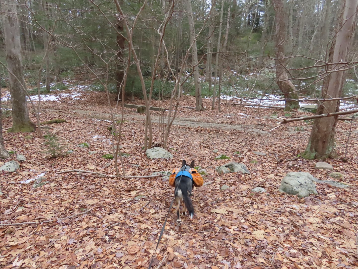
| Where Old Coal turns right, we turned left on Thirsty Dog. |


 |
| This is about when the incessant gunfire at the shooting range started, it did not let up for the rest of the hike and could even be heard back at the parking lot. |
 |
| Passing a small pond. |

 |
| On Turkey Ridge briefly ... |
 |
| ... then left on Gravity. |


 |
| Right on Turkey Ridge at the end of Gravity. |

 |
| Right on Buddha (this is the only unmarked trail on this hike that had a name sign) ... |
 |
| ... where there is actually a Buddha. |

 |
| Buddha ends at Old Coal across from the Split Rock Trail. |

 |
| Back at that boulder noted earlier, right on Spongebob Squarepants. |


 |
| Those white dots are snowflakes coming down about the time the weather alerts started. |

 |
| Left on Wildcat Loop at the end of Spongebob Squarepants. |


 |
| Coming out at the yellow-blazed trail where we turned left. |


 |
| At the end of yellow... |
 |
| ... right on Old Coal ... |

 |
| ... back to the parking lot. |
Sunday was a bust; I had hiking plans but ended up just taking a walk from my house. I didn't want to get caught on the roads in a snow squall, but of course not much happened, just some flurries.
ReplyDeleteYes, just flurries and same on the drive home with a little heavier through the Morristown area but definitely not a squall. Later in the day I checked the snow depth map and in the area where I had hiked there was new snow so the squall must have gone through Wawayanda shortly after I left.
DeleteHi Daniela. That looks like a good hike. Very picturesque. I know what you mean about the gun sounds. Last spring I was hiking on the opposite end off Canistear Road to Cherry Ridge road. Another back way into Wawayanda. Closer to Lake Lookout. The guns were very loud because the Range is right off Cherry Ridge Road. Happy Hiking. Christine
ReplyDeleteYes, that is the direction I was heading to but just not worth it with Brodie freaking out and wanting to go in the opposite direction. Can't say I enjoy it myself. I have hiked there extensively and don't recall ever hearing gunfire. That park is now ruined for me :(
Delete