

Johnsonburg Swamp Preserve - The Nature Conservancy
DIRECTIONS:
GPS Coordinates 40.97995, -74.86732
 |
| Large parking lot at the end of Old Stage Road. |
TRAIL MAP:
Johnsonburg Swamp Trail Map - The Nature Conservancy
There are newer trails that are not on apps at this time - Glenn Wyse Loop and Pond-side Loop Trail
HIKE DISTANCE: 5.7 miles
THE HIKE:
Brodie is back and with me being off of restrictions from surgery, I went for a little bit shorter of a hike with more challenging terrain. It's a swamp and it's buggy so expect that going in. (You'll want to be sure to remember to spray repellent behind your ears, just sayin'.) There was a lot of haze on this morning from a combination of humidity and Canada wildfire smoke.
 |
| There is an overlook at the parking lot but it's not the best one. |
 |
| You'll have to work some for the better views. |
 |
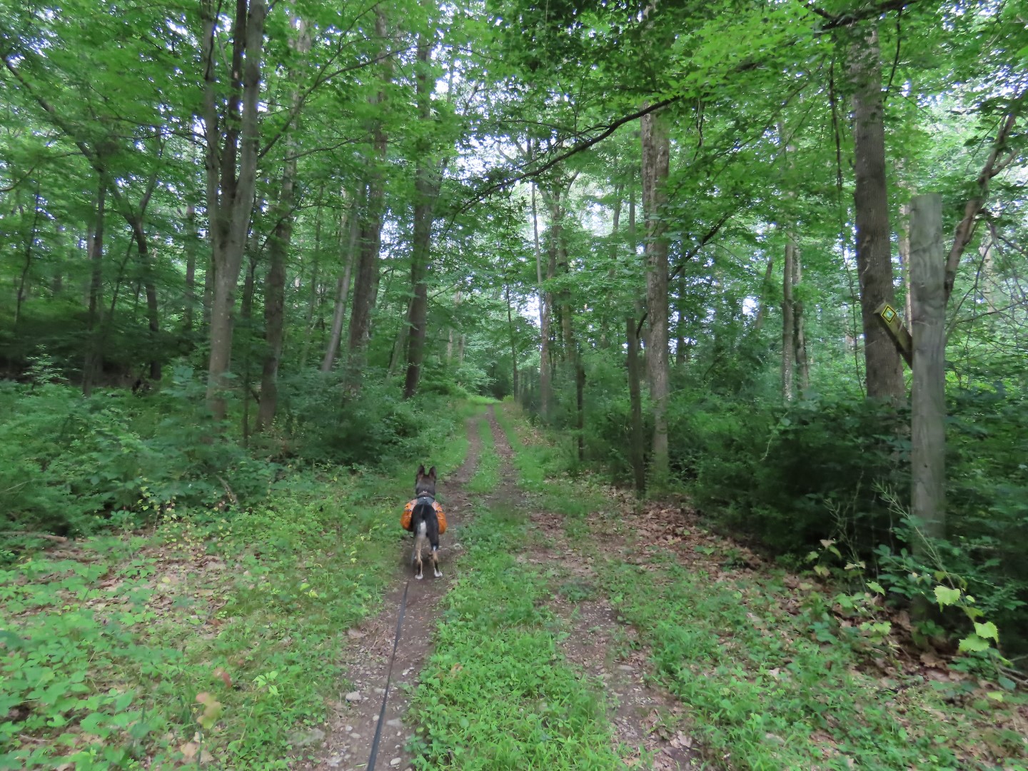
| The High Rocks Trail is the main trail from one end to the other and it is blazed yellow. |
 |
| A short distance in, right towards the gate. |
 |
| A chunky gravel road leads to this picnic pavilion... |
 |
| ... where had I not stopped to look at the ruins ... |

 |
| ... I would have missed the Glenn Wyse Trail which starts in the meadow, a right turn just before the picnic pavilion. There is no sign for it on the High Rocks Trail, you can only see it if you look to the right. We went around counterclockwise. |


 |
| The trail turns left here but first straight to the Mud Pond Lookout. |


 |
| Back on the Glenn Wyse Trail. |

 |
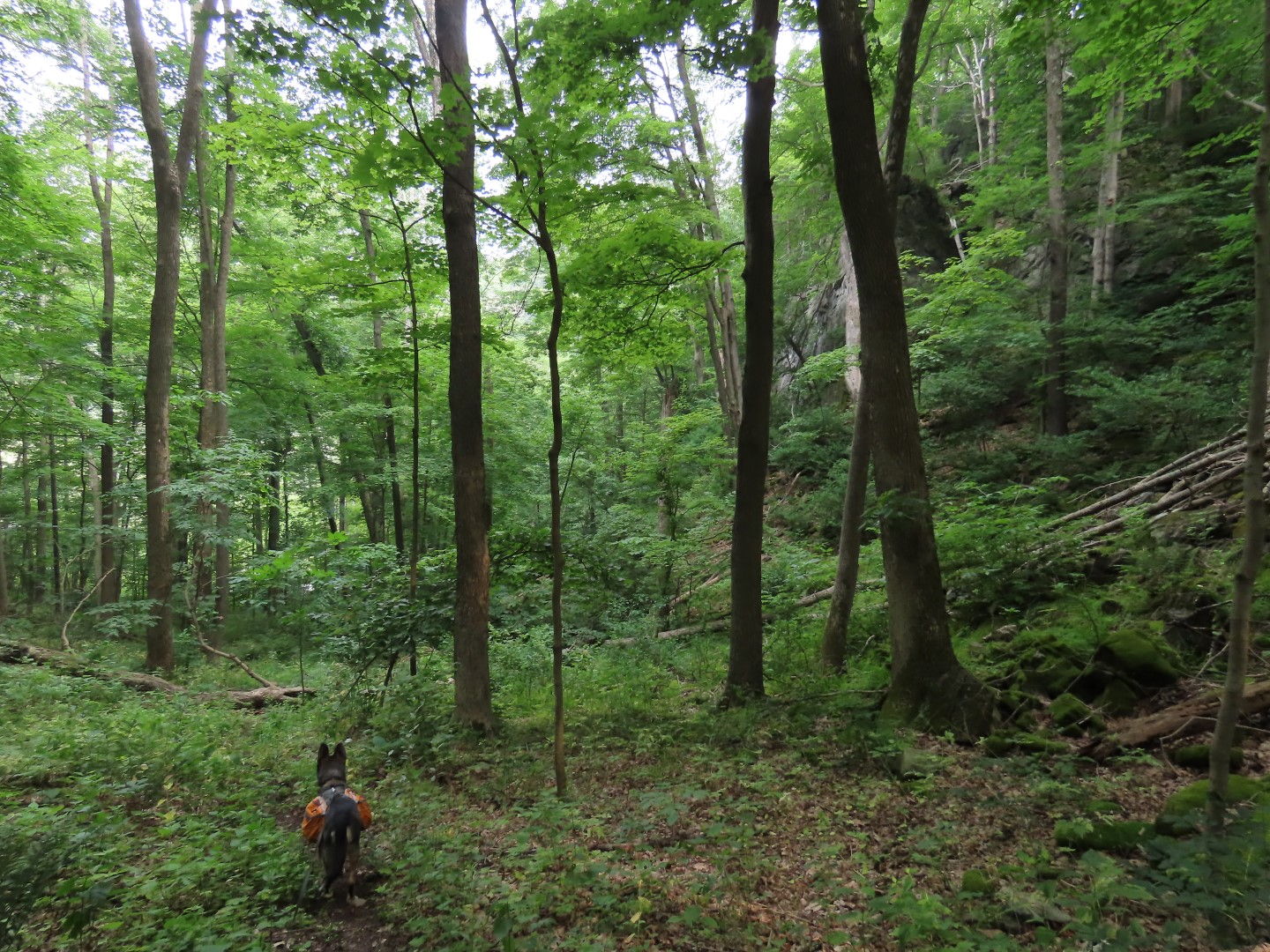
| The rock outcrops throughout the hike are spectacular and the pictures don't do them justice. |
 |
| Finishing the loop back at the picnic area, veering right ... |
 |
| ... then right to continue on the High Rocks Trail. |

 |
| Leaving the High Rocks Trail on a side trail to the Mud Pond viewing area. |

 |
| Back on the High Rocks Trail. |

 |
| There is no sign from the High Rocks Trail to the Pond Side Loop Trail so had I not turned right here to the High Rocks Overlook ... |
 |
| ... I would not have seen it. The sign is a bit in to the left of the trail to the overlook. We'd come back here after the overlook. |
 |
| High Rocks Overlook |
 |
| Now back to get on the Pond Side Loop Trail which was a more rugged trail, totally worth doing. |


 |
| It's well marked but the trail is a bit obscure at times and there are some blow downs to maneuver over. |

 |
| Massive rock wall to the right which is seen better in person. |
 |
| The trail follows along Mud Pond. |
 |
| A little bit of a scramble - the sharp left turn for the scramble is a bit hard to see. When you think the trail has fizzled out, that is where it goes up to the left. |


 |
| Coming out on the High Rocks Trail where we turned right to head out to Yellow Frame Road. |
 |
| This is a nice and easy reprieve after the more rugged Pond Side Loop Trail. |


 |
| At the gate just before Yellow Frame Road where we turned back. |
 |
| Passing by where we came off the Pond Side Loop Trail. |


 |
| Passing the High Rocks Overlook spur trail where we started the Pond Side Loop Trail. |

 |
| Right on the Lime Kiln Spur. |


 |
| Balloon #5 of the year. |

 |
| Lime Kiln |
 |
| Heading back. |
 |
| Right on the High Rocks Trail. |


 |
| Left at the picnic pavilion ... |
 |
| ... back to the parking lot. |
What a great hike, always love your pictures,
ReplyDeleteTimber and family
Hi Daniela. Glad to see you back hiking with Brodie. I read about the Johnsonburg Swamp Preserve on the NJ Skylands website. One day after hiking in the Water Gap Area, I drove down this one lane access road to the parking area. Took a picture of the map and said to my friend that hikes with me, we will try this in the cold weather. Good hiking. So hot and humid today. Christine
ReplyDelete