This hike incorporates Skyline Drive, the driving access to Crater Lake,
which is closed to vehicular traffic during the winter. It's a good time to make that
part of a hike as there are multiple viewpoints along the way. However, I learned when I did this in May 2022 that it's best to save that part for the end of the hike as everything tends to be shrouded in fog early on with no visibility. This is my first time seeing the views as I could see nothing back in May.
Starting at the old gated road at the end of Fairview Lake Road.
This switchbacks all the way to the top.
Beyond the gate is Skyline Drive. We would go straight and be returning from the right.
A short distance ahead the Appalachian Trail crosses over, we turned right.
Northbound on the Appalachian Trail.
It was 20 degrees and there was a dusting of snow from the previous day. It was still snowing and sleeting a bit even though that was not in the forecast at all.
The AT comes out on a gravel road joining in with orange. We turned left on orange only because I had never been that way before.
Right at the bend where orange heads back...
... some stone step lead to a trail. This is where hiker ADD sets in - must know where that trail goes. It was not part of the plan but I had to give it a shot.
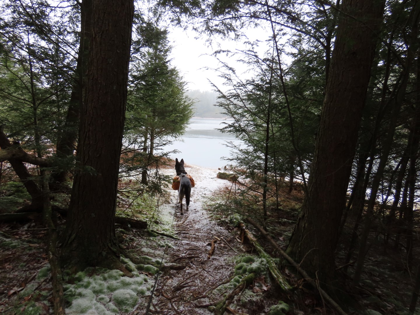
It's an easy to follow umarked trail to Long Pine Pond.
This comes to a view, of which there was none on this foggy morning however ...
Every single teeny tiny branch and pine needle, millions of them, were covered in minute ice crystals.
It was truly the most magical winter scene I have ever happened upon and I knew it would be gone in a matter of hours when that elusive sun appeared and the temps rose into the 40's, which did happen.
I was there at the perfect moment in time.
Leaving the AT to left on the orange/green Hemlock Pond Trail. We'd be back on the AT again much later.
This trail descends steeply at times all the way down to Hemlock Pond ...
... where we turned left to go around clockwise.
Along the way there is a side trail to the right ...
... to a view of Hemlock Pond.
Crossing the dam.
At the far end of the dam we turned right then kept straight on a woods road that has old yellow blazes.
Passing by a pretty swamp ...
... then rock hopping over the outlet.
Continuing straight when blue crosses over. To the right it connects to the Appalachian Trail, to the left it leads to Buttermilk Falls.
After this point the woods road is no longer maintained so there are more obstacles but nothing we couldn't get around. For the most part it was pretty clear.
Just before the woods road makes a right turn, we followed a faint footpath straight to the sound of water. This would be the start of Silver Spray (Hidden Falls) that we had previously hiked up to from Mountain Road below.
Balloon #4 of the year.
I lost the footpath but it's not hard to follow the sound of water. It was hard to get a picture so a video captured it a little better.
Back on the woods road, it now switchbacks up and becomes more of a footpath at times.
Crossing where the water comes from a swamp to flow down to Silver Spray (Hidden) Falls.
It becomes a wider woods road again.
The sun finally came out and it instantly became much warmer. Thank goodness we were very remote with nobody else around because I had to change from 20 degree leggings into 40 degree leggings and lose a few layers.
The woods road keeps on going until the end ...
... on Bird Mountain at the Appalachian Trail where we turned right to now head south.
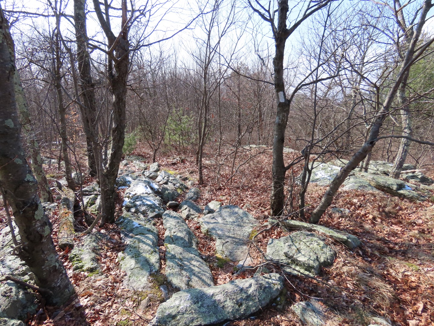
The trail is much more rugged here than it was on the woods road, alternating between very rocky and smooth with everything in between.
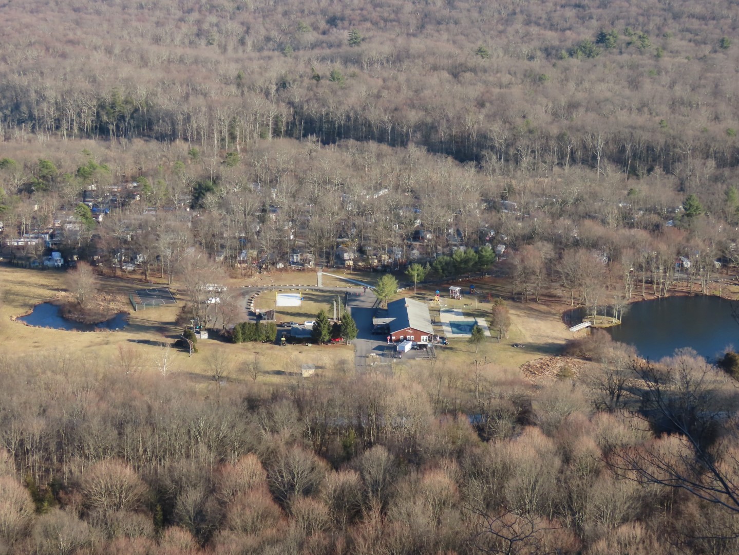
The views into Pennsylvania on Rattlesnake Mountain.
It's a steep rocky descent off of Rattlesnake Mountain.
Water feeding from a swamp to the left to the swamp that feeds Silver Spray Falls.
The AT becomes smooth for good right before ...
That same blue trail from before crosses over, heading to Buttermilk falls to the right.
A few steps after the AT turns right but we took the old woods road over the logs straight ahead.
This comes out on a gravel service road that leads to a communications tower to the left, we turned right....
... then left on the road along Crater Lake.
Crater Lake
Making our way over to Skyline Drive leaving Crater Lake Recreation Area.
There are several obvious openings on the left to ...
Views into New Jersey.
Coming up on another one.
At one point I went to see what was on the other side of a manmade pile of earth and found not only more views ...
... but an old woods road running parallel to Skyline Drive. To me this is better than a gravel road any day so woods road it was. It is not on any map that I know of.
Nothing difficult to maneuver around.
More views along the way.
It just keeps going, very clear at times.
At the end it veers right ...
... over another mound of earth to Skyline Drive where just a few steps to the left ...
... we were at the same place were we started the hike. Now turning left to descend on the old road.


Luv these reviews of yours. Thank you so much.
ReplyDelete