ABOUT THE PARKS:
DIRECTIONS:
GPS Coordinates 41.18549, -74.79597
 |
| Stokes State Forest Office Parking |
TRAIL MAP:
HIKE DISTANCE: 11.4 miles
THE HIKE:
Seeing the trail head for the Acropolis Trail over the years when driving by on Route 206, I had always wanted to hike it from the start but it is such a random trail with no place to park on Route 206 so I had to incorporate it with a bit of a road walk. To get that road walk portion out of the way first thing while there was less traffic early in the morning, I parked at the Stokes State Forest office to start the hike.
 |
| From the parking lot continue walking in towards the gate. There were no fees being charged this year so not sure if you need to pay to walk in when fees are being charged. |
 |
| A short distance ahead at the intersection ... |
 |
| ... right on the blue-blazed Blue Mountain Loop. |
 |
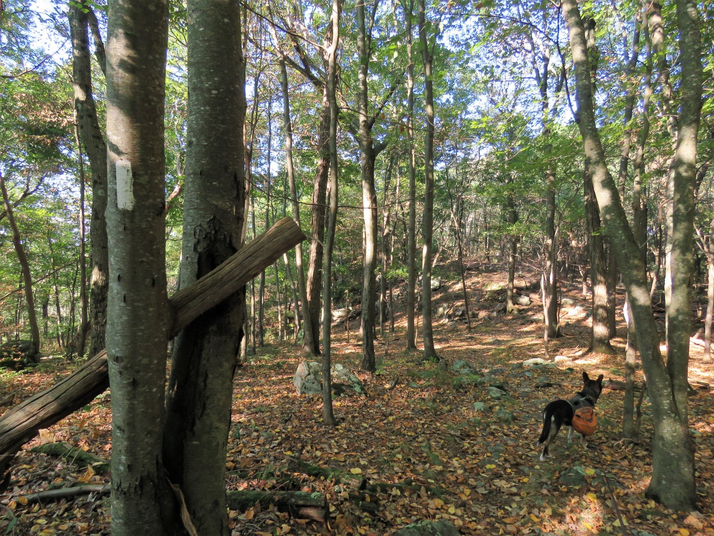
| On this day there were temporary ribbons and signs up for a Sassquad Trail Running event but at this point where the Blue Mountain loop turns left, we continued straight on unmarked. |
.JPG) |
| The unmarked trail continues as a well-defined and clear footpath ... |
.JPG) |
| ... passing by a beautiful pond on the left. |
.JPG) |
| The map shows this as a woods road continuing along he pond but hat is actually overgrown and impassable. The footpath veers around to the right bypassing that and remains defined and clear all the way to ... |
.JPG) |
| ... a left on Route 206. |
.JPG) |
| And so begins a pretty icky .65 mile road walk. Although there is a wide enough shoulder, cars zoom by way in excess of the 50 mph speed limit and there is already quite a bit of traffic coming up on 8 AM on a Saturday. So glad I got this out of the way early on. |
.JPG) |
| A new business coming catering to Appalachian Trail thru-hikers... |
.JPG) |
| ... just before the AT comes in from the left, crosses Route 206 and continues behind the guardrail. I had hiked that way previously so I continued on Route 206. |
 |
| Leaving Route 206 and starting at the beginning of the Acropolis Trail. |
 |
| We would be looking down from that power cut soon. |
 |
| It's a pleasant, clear woods road all the way up. |
 |
| Coming around a switchback. |
 |
| The Acropolis Trail crosses over the Appalachian Trail.... |
 |
| ... and continues as a woods road. |
 |
| Looking down at Culver Lake from higher up that power cut. |
 |
| Views at the top. |
 |
| In the distance to the left of the communications tower is the Culver Fire Tower on the Appalachian Trail. |
 |
| Continuing on the Acropolis Trail it is a little overgrown in this area but easy enough to follow. |
 |
| Straight ahead where the Acopolis Trail turns left is a chain link fence and old structure. There is supposed to be an unmaintained trail to the right of that structure but I could not find it when I hiked here in 2011. I wanted to give it another try. |
 |
| I did see a faint trail but lost it when I thought it veered right. Just as I was turning around to head back I saw the trail to the left and was able to continue following it. |
 |
| The trail enters a clearing ... |
 |
| ... with views ... |
 |
| ... just before it meets up with the Appalachian Trail. |
 |
| Right on the AT and staying with that for the next few miles. |
 |
| Coming up on more views of ... |
 |
| ... Lake Owassa and ... |
 |
| ... Culver Lake |
 |
| The only wildlife I saw during this hike. |
 |
| I like to look at the AT register to see where people are from that are hiking the trail. I had expected to see some SOBO thru-hikers (hiking from Maine to Georgia) but I was surprised at how many NOBO thru-hikers (hiking from Georgia to Maine) that there were this late in the season. |
 |
| These are the trail register entries back to end of July/beginning of August. I only ran into 3 different backpackers on the Appalachian Trail, nobody else at all during the rest of the hike. |
 |
| Crossing Brink Road. Turning right here would knock 2.5 miles off of the hike. We continued straight. I wanted to take the next woods road that I had not hiked before to form this loop. |
 |
| A nice break spot boulder off of the trail. |
 |
| At the next clearing ... |
 |
| ... High Point monument is visible from behind. |
 |
| At this sign where the AT turns left on the woods road, we turned right ... |
 |
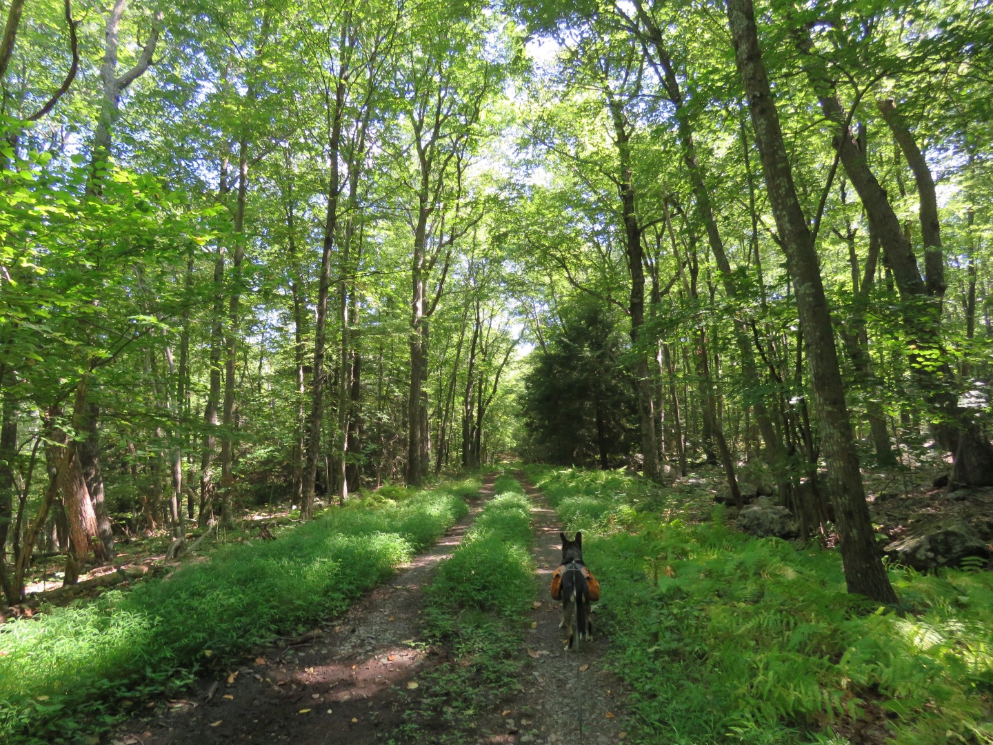
| ... to follow a very clear woods road downhill. |
 |
| To the right the woods road is clear all the way through. |
 |
| The Red Maple Trail should have joined in from the left by the time we reached the swamp but I did not see any markers until after we passed Brink Road. |
 |
| Passing Brink Road where we would have ended up had we shortened the hike by taking Brink Road from the AT. |
 |
| Now there are Red Maple markers. |
 |
| I did not see any turn markers here but at this clearing the Red Maple Trail turns left. |
 |
| The map does not show the Steffen Trail overlapping with the Red Maple Trail but it does for a bit. The Steffen Trail is another trail I had not hiked yet but worked perfectly in forming this loop. |
 |
| The Red Maple Trail leaves to the left; we kept straight on the Steffen Trail. |
 |
| The Steffen Trail leaves the woods road to the left as a footpath going downhill. |
 |
| The Steffen Trail ends at Struble Road where we turned right. |
 |
| Five cars most likely coming from Buttermilk Falls or Tillman Ravine passed at one time. It took forever for them to make right turns onto Route 206 because of a constant stream of traffic. I was becoming concerned about crossing over on foot. |
 |
| But the Hiking Gods were looking favorably upon us because the minute I came up to that stop sign, there was no traffic in either direction and we crossed right on over. |
 |
| We went around the back of the guardrail directly across from Struble Road, turned left between that guardrail and the wooden guardrail to an opening in the wooden guardrail a few steps in. |
 |
| It's a very short distance through an overgrown section before turning left on an old road. |
 |
| This passes by a park maintenance area ... |
 |
| ... and crosses a bridge to a barrier where we turned right on Shotwell Road. |
 |
| The artesian well on the left were cars were lining up to fill up those large cooler water bottles. |
 |
| Continuing on Shotwell Road for a short distance ... |
 |
| ... to right at the stop sign across from where we had started the hike. |
 |
| Passing by the park office ... |
 |
| ... back to the parking lot where apparently no other hikers park. It was the perfect spot for this hike. |


It is unbelievable how many leaves are already down. And, there are trees that are already changing colors.
ReplyDeleteCrazy, isn't it? Seems we have had worse droughts before but I don't recall it making trees change in August.
Delete