

Ted Stiles Preserve at Baldpate Mountain - Friends of Hopewell Valley Open Space
Fiddler's Creek Preserve - Friends of Hopewell Valley Open Space
DIRECTIONS:
GPS Coordinates 40.31860, -74.86632
 |
| Brickyard Road parking at the northern edge of Washington Crossing State Park. I parked here so I could get the road walk portion out of the way early without any traffic. There is only room for about 4 cars. This hike passes through three other parking lot options. |
TRAIL MAPS:
Ted Stiles Preserve at Baldpate Mountain - Friends of Hopewell Valley Open Space
 |
| Updated map from the Mercer County Park Commission Facebook page showing the orange trail reroute. |
Fiddler's Creek Preserve - New Jersey Trails Association
HIKE DISTANCE: 7.4 miles
THE HIKE:
It was a miserably hot and humid day, even at 7 AM. This was not the complete hike that I planned on doing. I'll have to save that for another time. Minimizing elevation gain and cutting the hike short was the way to go on this day.
 |
| Walking back out from the parking lot to the road ... |
 |
| ... across Church Road to Fiddler's Creek Road. |

 |
| After about 1 mile coming up on Fiddler's Creek and ... |
 |
| ... the entrance drive to Fiddler's Creek Preserve parking lot on the left. There is no sign. |

 |
| Straight through the parking lot to the gate ... |
 |
| ... then left on red. |


 |
| After exiting through the gate, a right turn then ... |
 |
| ... an immediate left on an overgrown footpath which is red but there are no blazes or markers. |
 |
| The trail alternates between overgrown and clear but there is always a footpath to follow. |
 |
| Continuing along Fiddler's Creek. |


 |
| The trail turns sharply right and climbs up above the creek. |
 |
| Red ends at blue where we turned left and continued on blue through the gate. |

 |
| Eastern Towhee |
 |
| Staying with blue all the way to ... |

 |
| ... Fiddler's Creek Road where we crossed, veered slightly left ... |
 |
| ... then right into Ted Stiles Preserve at Baldpate Mountain. |
 |
| Right to the mowed path that parallels the paved road ... |
 |
| ... and goes through a parking lot. |
 |
| The trail is now blazed blue and was the steepest ascent of the hike, sometimes climbing up boulders. |


 |
| At the top we worked our way over to views to the left. |

 |
| Scarlet Tanager |

 |
| We looped around over to the white trail which follows the ridge. This was not the original plan but it was an easier hike in the heat and humidity. |


 |
| We turned right on orange where I had read the trail had been rerouted on to a new trail. |

 |
| Apparently Brodie cannot read because he insisted that was the way. |
 |
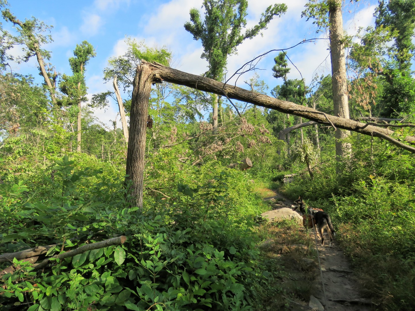
| The reroute goes over chunky rocks that are pretty annoying to walk on. Maybe that is why nobody goes this way, evidenced by the many ancient spiderwebs I walked through. |

 |
| Just after this mass of blow down is a T-intersection where we turned left. |

 |
| This leads to another parking lot where we turned right ... |

 |
| ... then right onto a mowed path through the full sun in the very hot power cut. |

 |
| Finally the trail went into the slightly cooler woods. |


 |
| Following along Fiddler's Creek ... |
 |
| ... and crossing on a rock hop. |

 |
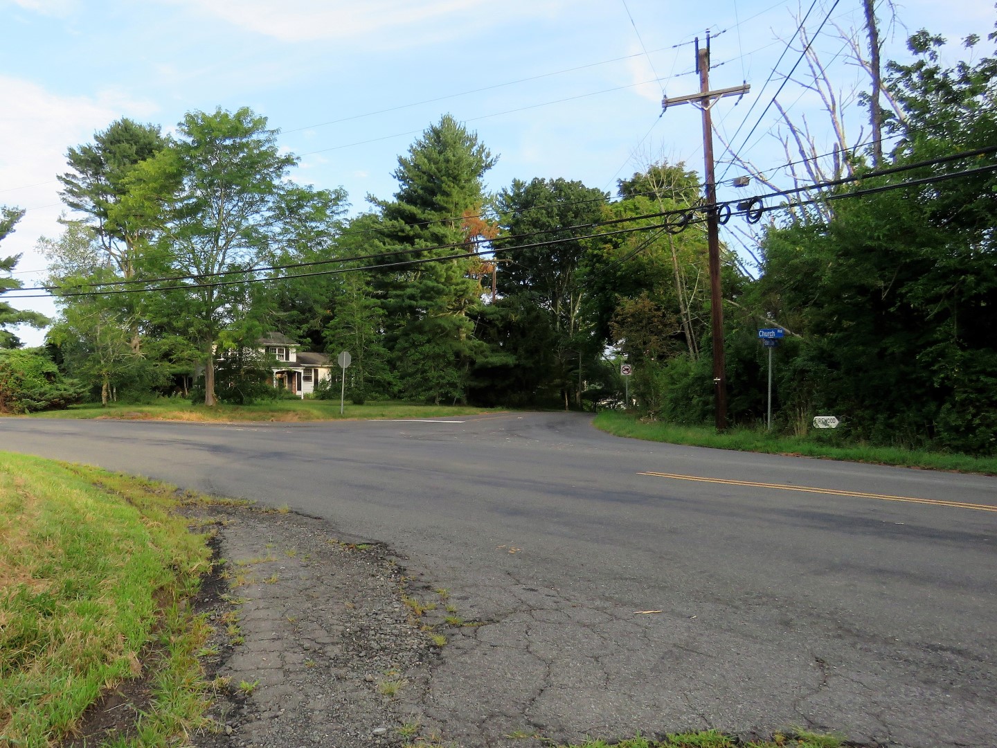
| Back across Church Road ... |
 |
| ... to the parking lot where an iced coffee in the cooler and air conditioning awaited. |
Birds not seen but heard with the Merlin Bird Sound ID app:
- Red-bellied Woodpecker
- House Wren
- White-eyed Vireo
- Eastern Phoebe
- Blue Jay
- Veery
- Eastern Towhee
- American Goldfinch
- Indigo Bunting
- Northern Cardinal
- Hooded Warbler
- White-breasted Nuthatch
- American Robin
- Northern Flicker
- Black-and-white Warbler
- American Redstart
- Red-eyed Vireo
- Acadian Flycatcher
- Carolina Chickadee
- Carolina Wren
No comments:
Post a Comment