

Sundown Wild Forest - New York State Department of Environmental Conservation
DIRECTIONS:
GPS Coordinates 41.86414, -74.34611
 |
| Upper Cherrytown Trailhead Parking at 8:15 AM. |
TRAIL MAP:
Southern Catskills Trail Map 143 - NY/NJ Trail Conference
HIKE DISTANCE: 10.7 miles
THE HIKE:
Vernooy Kill Falls is hugely popular, especially on a nice weekend day. Having arrived at 8:15 AM on a Sunday I had the entire place to myself for most of the hike. Most people take the direct route to the falls and back (there are 3 access points). Not many hike this loop.
 |
| The trail starts on the opposite side of Upper Cherrytown Road from the parking lot. For about the first 5 miles this will also be the route of the Long Path. |

 |
| A jumble of logs to use as a water crossing. |


 |
| The trail starts out smooth but then becomes very rocky. The rocks are often needed for crossing wet areas. |

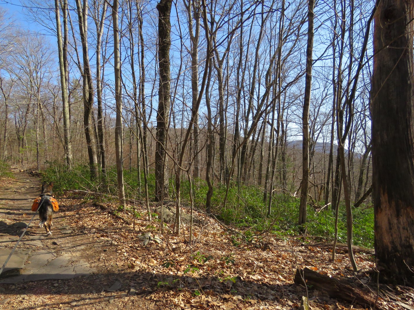 |
| Some seasonal Catskill mountain views along the way up. Most of the elevation gain will be along this stretch. |


 |
| A rock hop just before ... |
 |
| ... coming up on the falls. |
 |
| Vernooy Kill Falls |
 |
| There are more tiers upstream so we followed an unmarked path up to the top of the falls. |


 |
| Heading back down. |
 |
| We would be returning on that bridge but for now to the left towards ... |


 |
| Just after a large area of old stone walls ... |
 |
| ... a left turn. Staight ahead would lead to another parking area. |
 |
| This is still the route of the Long Path and you can tell it is much more lightly used than the paths to this point. |


 |
| A left on Spencer Road. |
 |
| It's a gravel road that is open to traffic but only one car passed us. It's a very rutted road in places to not many cars can drive on it. |


 |
| Spencer Road follows along a pretty creek for a while. |

 |
| At about the half way point of this hike, the blue trail and Long Path leave to the right. We continued straight on Spencer Road, now only marked with red snowmobile markers. |


 |
| Looking back at the mountains. |
 |
| At the intersection, left on paved Dymond Road. |
 |
| Only one car and a horseback rider passed us on this road. |
 |
| Parking for about 3 cars across from the snowmobile trail. One couple had just entered the trail but came back soon as they were wearing sneakers and that trail can be quite swampy in places. |
 |
| We continued on to the corner just past the snowmobile trail for a look at the Greenville Historic Schoolhouse. |
 |
| Now on to the snowmobile trail to complete the loop back to Vernooy Falls. |
 |
| This is the more rugged trail of the hike with dry sections alternating with very swampy sections and an occasional downed tree to maneuver over. |

 |
| This particularly swampy section required tightrope walking over a log. |


 |
| The trail starts to descend down to the falls ... |
 |
| ... where we took a herd path to the left over to Vernooy Kill to follows downstream along the falls. |


 |
| This comes out at that bridge over the falls. |

 |
| At 1:15 PM there were other people around with many more arriving on the access trails. |
 |
| Now retracing back to Upper Cherrytown Road. |


 |
| Many more cars in the lot than when I arrived early in the morning. |
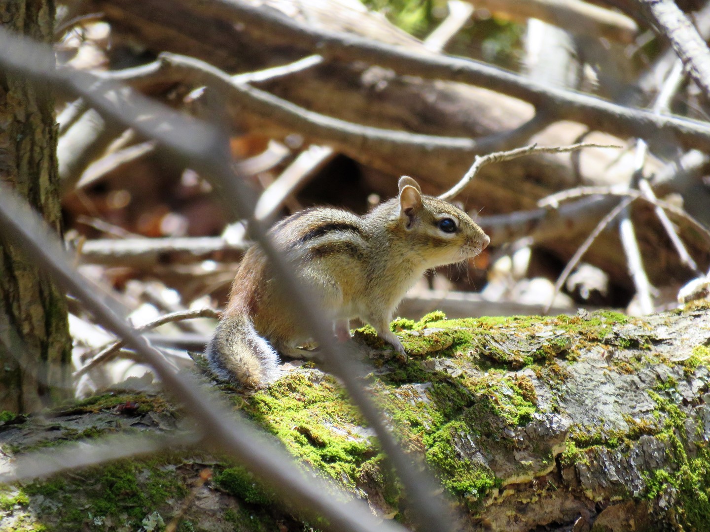
Wildflowers seen on this hike:


No comments:
Post a Comment