ABOUT THE PARK: 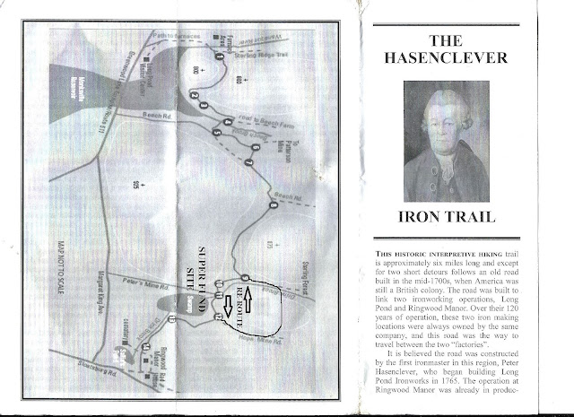 |
| One of the brochures available outside the visitor center. It describes all of the interpretive signs along the way. |
DIRECTIONS: GPS Coordinates 41.141066, -74.308869
 |
| Parking at the Long Pond Ironworks visitor center. |
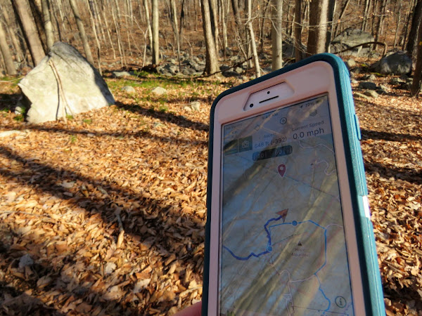
TRAIL MAP:
The 2021 edition above shows the Hansenclever Iron Trail reroute, previous editions show the original route as closed with no reroute.
PEAK BAGGING:
HIKE DISTANCE:
14.1 miles - Hansenclever Iron Trail about 6 miles each way plus Hansenclever Hill
THE HIKE:
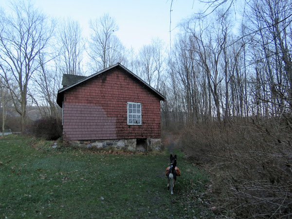 |
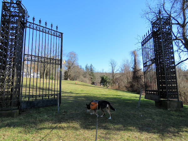
| Facing the visitor center head to the left towards the historic buildings. |
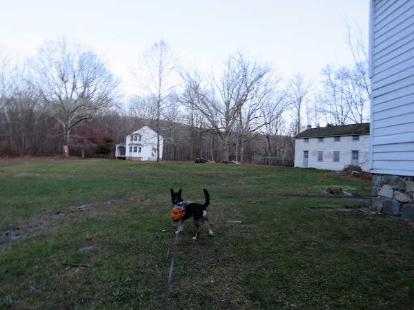 |
| We started out with looping around the historic district waiting for the sun to come up. It was still a tad dark out. |
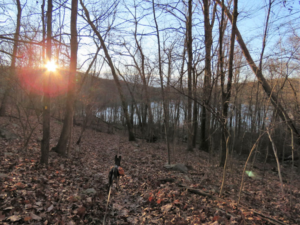
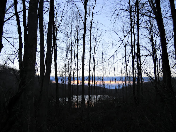 |
| Sun starting to rise over Monksville Reservoir. |
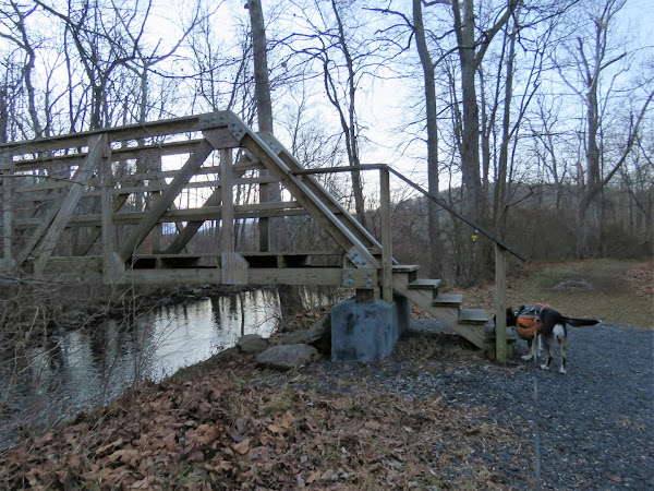 |
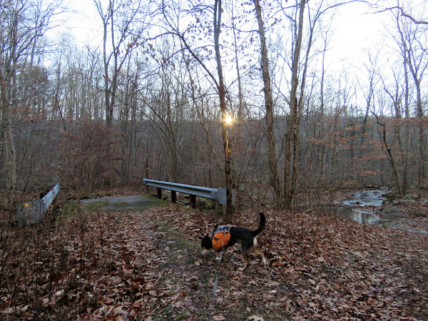
| The Hansenclever Iron Trail starts at the bridge joining in with the blue trail and Highlands Trail. |
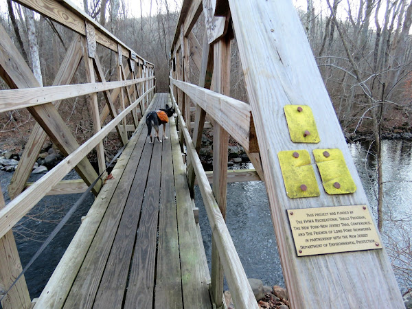 |
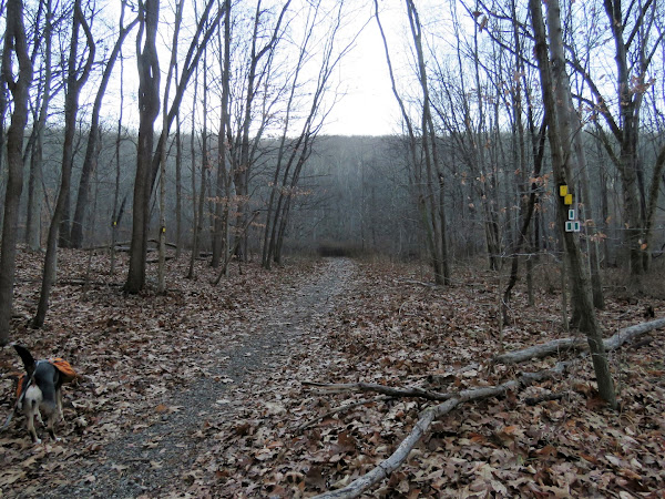
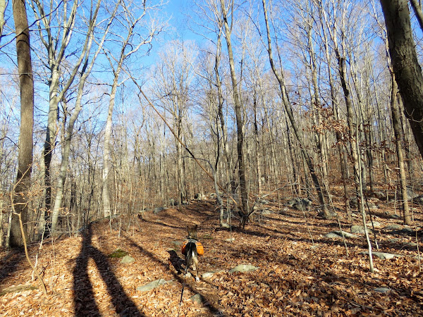
| Start of the yellow-blazed Hansenclever Iron Trail. |
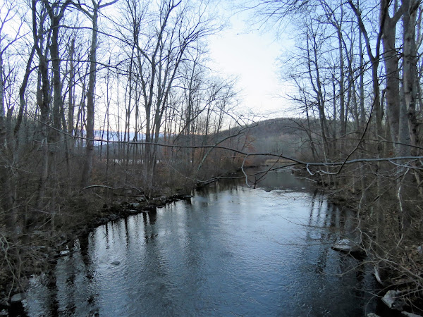 |
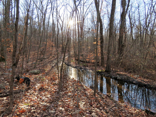
| Wanaque River |
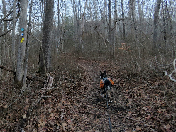 |
| The Hansenclever Iron Trail leaves the Highlands Trail and blue trail to the right. |
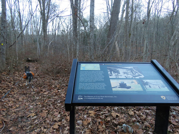 |
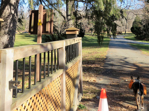
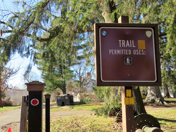
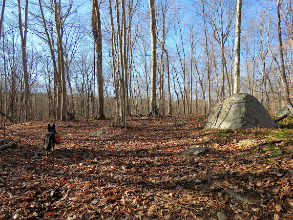
| Many interesting interpretive signs along the way. |
 |
| Coming up on Monksville Reservoir. |
 |
| A bridge over ... |
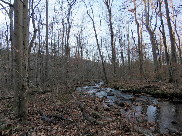 |
| Beech Brook |
 |
| The Hansenclever Trail leaves the gravel road to the left and the green Monk's Connector Trail continues straight. |
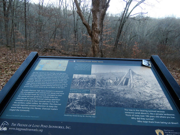 |
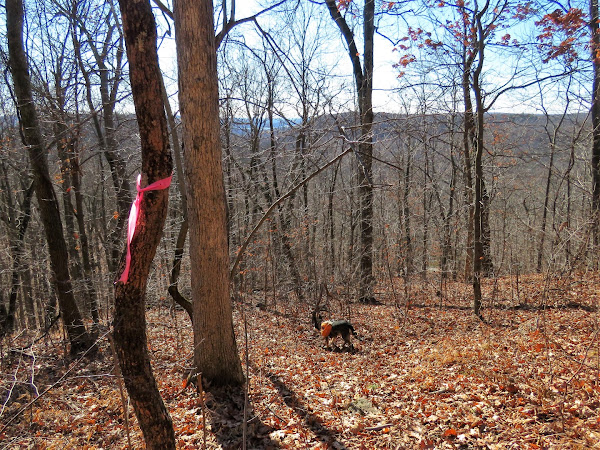
| The interpretive sign states the this tree is 200 years old. |
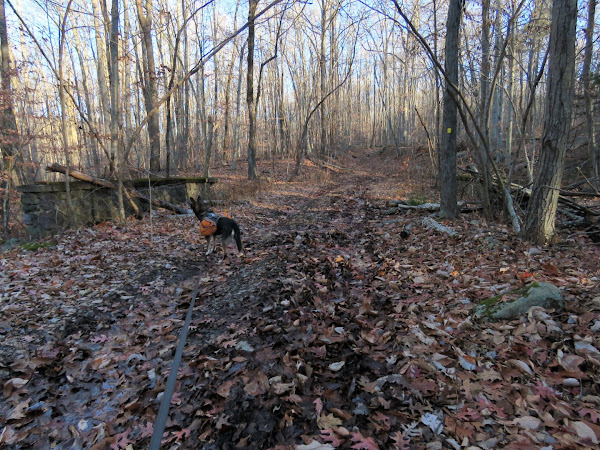 |
| The old road becomes very rutted and wet from ATV damage although fortunately there were no ATVs present during this hike. |
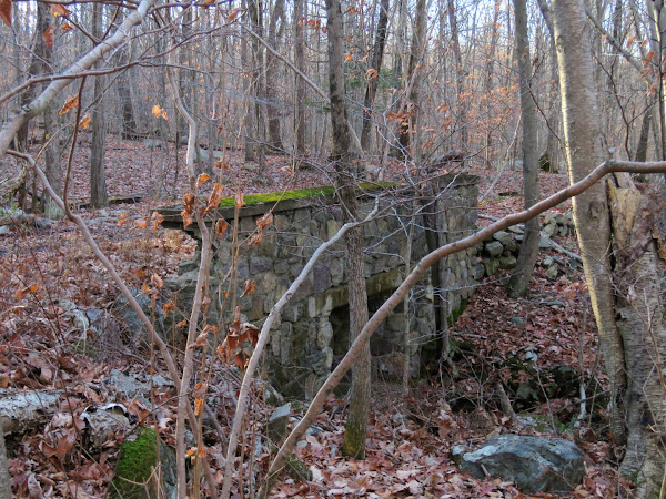 |
| Crossing over an old bridge. |
 |
| This is the one spot that was not rock hoppable but I was able to rock hop around off trail to the right. |
 |
| The trail bypasses some severely flooded parts. |
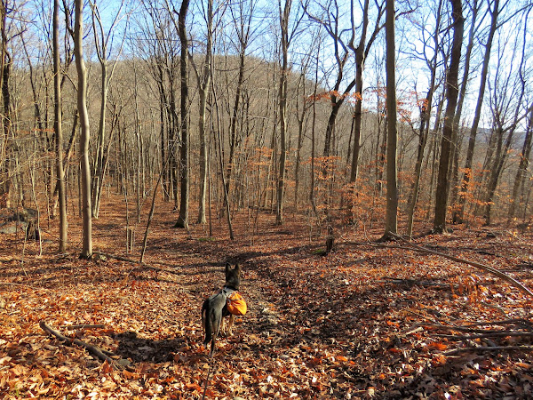 |
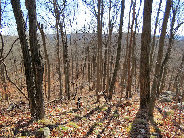
| Hope Mountain up ahead. |
 |
Hansenclever Hill on the left where we would be heading next.
|
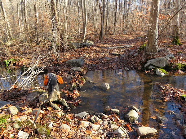 |
| The Drink Brook crossing was doable via a rock hop. It is shortly after this crossing that I needed to watch for ... |
 |
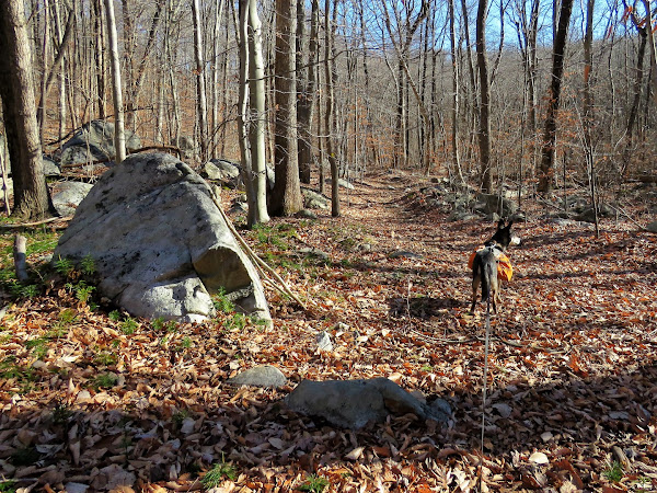
| ... a woods road to the left which would head towards Hansenclever Hill which is a New Jersey 1K high point. That triangular boulder marks the spot. |
 |
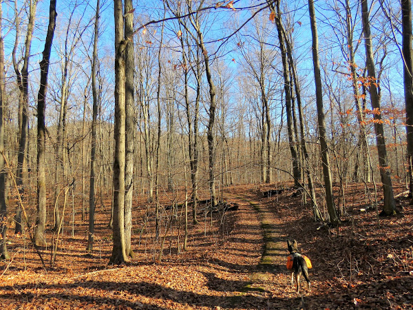
| At first the woods road is easy to follow even when it becomes a foot path. |
 |
| Then we lost it. Even Brodie is looking around for it. |
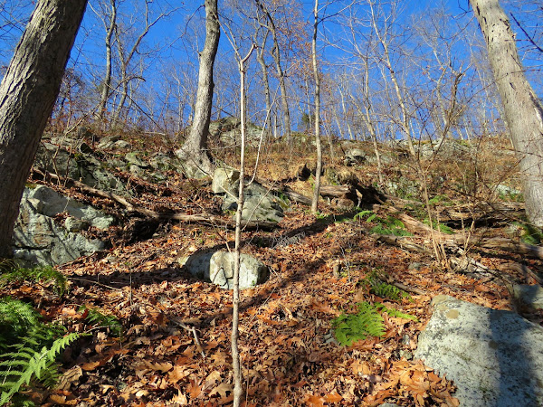 |
| I decided a better way up might be to head east a bit and circle around and up that way since the topo looked less steep. I was sooooo wrong. It was rocky, steep, thorny, absolutely treacherous. |
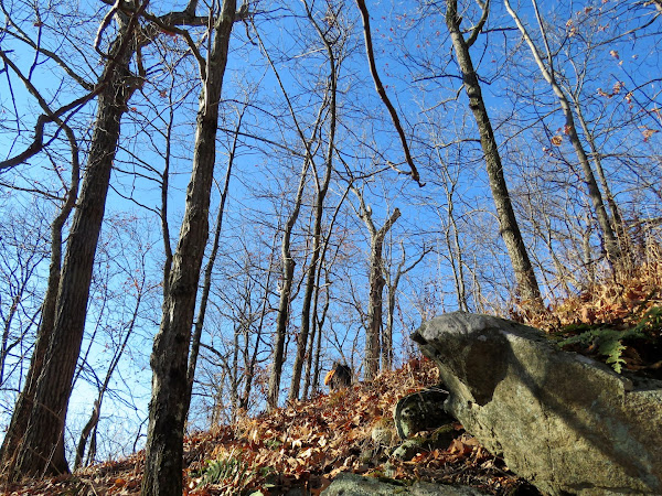 |
| Brodie had to go off leash because it was just too steep and he kept getting tangled. He followed me most of the way then made it up just before I did but he waited patiently for me. |
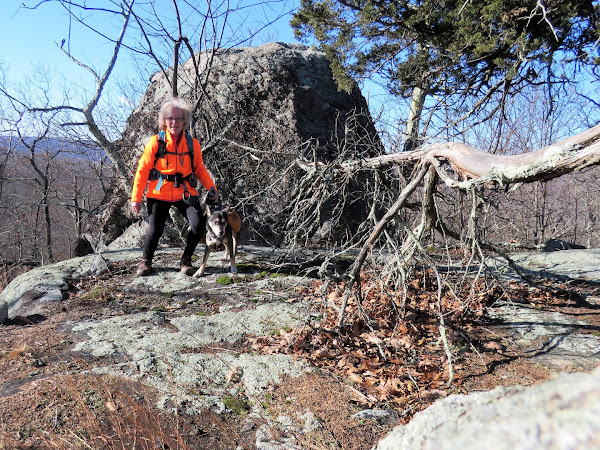 |
| We made it to the boulder that marks the summit! Even though we hiked on a Sunday when no hunting is allowed in New Jersey, this is feet from Sterling Forest in New York where hunting is allowed and hunters tend to spill over into New Jersey so blaze orange clothing was called for. Fortunately, I did not see any hunters at all. |
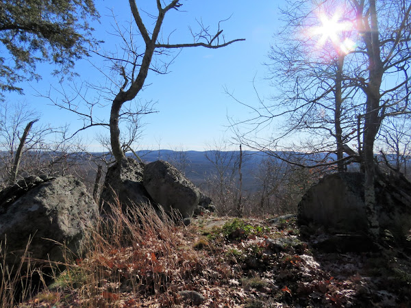 |
This is right on the New York state line where there is supposed to be an overlook into New Jersey on the New York side. I was all over the top of that mountain and could not find it but there were nice winter views nonetheless. Looking back at my track I see where I probably should have keep curving around to the west from where I turned back. Oh well, maybe another time.
|
 |
| There was a gunshot heard from the NY side (although it is bow only in Sterling Forest) and Brodie freaked and almost bolted. I got him to stop by yelling "BRODIE! COOKIES!" and hooked him back up. I was shocked that he listened because gunfire sends him into a panic putting him into every man for himself mode. |
 |
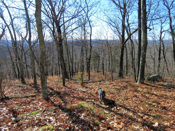
| From the summit I had noticed a faint path and there was even a ribbon on a tree. Brodie picked up on this path and I just followed him. |
 |
| Fortunately there was no more gunfire and Brodie calmed down so I had to let him back off leash since it was very steep going down but so much easier than the way I had come up. So if you are using my track to bag this peak, ignore what is to the east and use the southern approach straight on to the summit. Although it looks steeper, it is definitely the way to go. |
 |
| Who would have thought that a stray from Jersey City would become adept at following virtually invisible trails? |
 |
| Brodie was hooked back up once things started to level out. Not worth taking a chance at more gunfire but fortunately there was none. |
 |
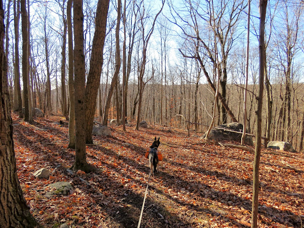
| Back at that triangular boulder and heading left on the Hansenclever Iron Trail towards Ringwood State Park. |
 |
| Nearing the end of the Hansenclever Iron Trail in Ringwood State Park. |
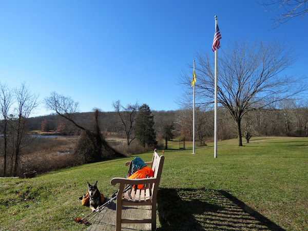 |
| A break at the bench 8 miles into the hike. |
 |
| The end of the trail ... |
 |
| ... where we turned around to retrace 6 miles back. |
 |
| Passing by that boulder marking the way up Hansenclever Hill. |
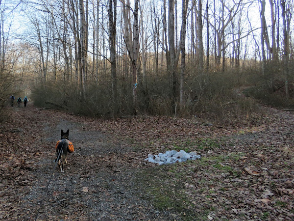 |
| Other than one hiker on the Hansenclever Iron Trail during the return route, we saw no people other than at Ringwood State Park and when we returned to Long Pond Ironworks Historic District. |
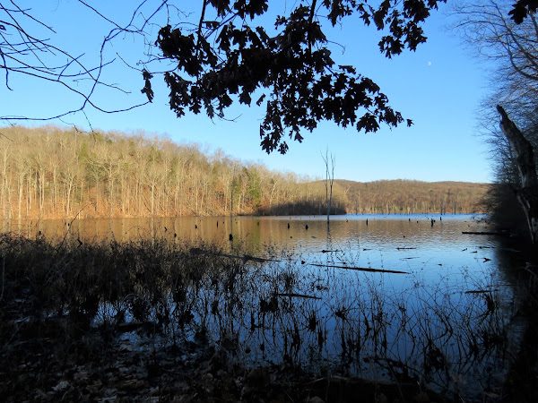 |
| Monksville Reservoir |


wow, this one seems grueling! was expecting to see a final photo of brodie curled up in the backseat or in his bed at home.
ReplyDeletethough, 1756 ascent over 14 miles isn't so bad and it sounds like much of it was concentrated around Hasenclever Hill
I hiked here in October, started at the village went up through Jennings Hollow, then Lake-to-Lake to Sterling Ridge south to Beech Rd. did you encounter the Hasenclever trail detour around the mine that was closed? been meaning to get up there, and to RIngwood and 5 Ponds. Tranquility Ridge lives up to its name. Not many trails, but a great escape.
Yes, looks like a chunk of the ascent was Hansenclever Hill. That was pretty much straight up! No pictures of Brodie curled up asleep because that was me at 8:30 PM, out cold I was, LOL. There was nothing that said there was a detour, it's just reblazed so following the blazes gets you on the reroute. The original route has yellow markers, the reroute is yellow paint blazes, that is how you can tell the difference. Through the power cut there was a left turn that was not blazed, probably due to lack of anywhere to put the turn blazes, but there was a sign that straight ahead was closed so left by default. Tranquility Ridge was very tranquil with no ATVs around, thank goodness. Lots of tracks and ruts, though.
Delete14 miles! Your new hip must be doing great! I am just starting some meds for arthritis in my knee :(
ReplyDeleteOh no, not that now! You have too much hiking to do in NC. They found arthritis in my spine in the hip x-rays but my back is much better now that I have the new hip. The surgeon said I had a deformity in the femoral head so that probably threw me off just enough to cause the back problems I was having. But yes, I hike farther and easier than ever before now. Pretty amazing!
Delete