ABOUT THE PARK:
DIRECTIONS:
GPS Coordinates 40.36994, -76.08039
 |
| Spring Creek Parking Lot |
TRAIL MAP:
 |
| From Blue Marsh Lake Facebook Page |
HIKE DISTANCE: 12.5 miles
THE HIKE:
This hike connects two sections that Shawnee and I previously hiked in 2013:
Until I heard about the new Holls Loop Trail there wasn't enough distance between the two hikes to warrant the trip. Now a longer connection was possible that made the two hour drive very worthwhile.
 |
| The trail starts as an old dirt road from the parking lot. |
 |
| It was a frosty morning. |
 |
| We were on Sleepy Hollow Road and would be returning from the right on Justa Road, both old roads closed to traffic. |
 |
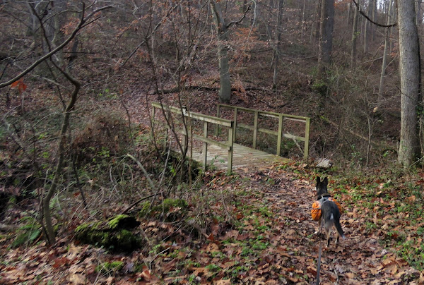
| At the Main Trail (or Lake Border Trail on Gaia), there won't be a sign but when there is a bridge to the left, for this hike we kept right. Looks like there is a brand new bridge that was not open yet. The inset shows the bridge as it was in 2013 when Shawnee and I hiked that way. This new one is much higher so the old one must have washed away. |
 |
| Keeping right going uphill with Spring Creek down below on the left. |
 |
| Spring Creek |
 |
| Mile posts every mile. |
 |
| There are some very old paint blazes along the way. |
 |
| I am glad I took a picture of this post because I really thought I was losing my mind. It shows the hiking trail as turning left when I knew it should be straight. Maybe there had been a reroute so I turned left to check it out. |
 |
| Really not the hiking trail rather Sterners Hill Road, which is what I thought but not according to the post. |
 |
| Sterners Hill Road ends at Blue Marsh Lake. |
 |
| A group of common merganser boys. |
 |
| It made for a nice break spot. |
 |
| Heading back I looked at the post again and it showed the hiking trail/Sterners Hill Road correctly. What the heck? Seriously, I thought I was losing my mind until I came home and checked the other picture. So apparently the post was turned and while I was down at the lake, someone turned it back correctly. Just relieved that it wasn't me :) |
 |
| Now continuing on the hiking trail. |
 |
After the Dry Roads Farm sign and the bridge, the trail goes uphill and at the top of the hill ... |
 |
... the new Holls Loop Trail crosses over. (***see notes at bottom). There is no sign, nothing just ... |
 |
| ... this "no horses allowed on the new trail" sign. |
 |
| It was a very scenic stretch of trail. |
 |
| The trail turns right heading away from Blue Marsh Lake with State Hill Boat Ramp visible. |
 |
| The Holls Trail ends at the Main Trail where we turned right just before mile marker 3. |
 |
| I was looking for another no horses allowed sign on the left for the west side of the Holls Loop Trail but never saw one. |
 |
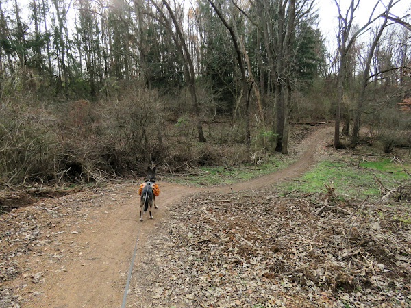
| I ended up back at that 4-way intersection where the Main Trail goes straight and right is where we had turned coming up that hill earlier. So knowing we'd be on the Holls Loop Trail, although not the part I wanted to be on, we turned left. |
 |
| We'd be ending up at the same place had I found the other side of the loop, only difference being this side is more suited to mountain biking as the trail keeps squiggling back on itself and you do a lot of hiking and get nowhere for quite a while. |
 |
| At this 3-way intersection at the far western end of the loop, left is where I had intended to come from. We turned right ... |
 |
| ... towards and through the parking lot ... |
 |
| ... then right on Highland Road. |
 |
| That car was a park ranger passing us. |
 |
| There is a parking lot up ahead on the right where ... |
 |
| ... we turned left directly opposite the parking area on this dirt road through fields with views. |
 |
| Shortly before another parking lot, the trail veers right. |
 |
| Justa Road to the end ... |
 |
| ... then left on Sleepy Hollow ... |
 |
| ... back to the parking lot. |
*** Two days after I hiked this that uphill portion of the trail between the bridge and the Holls Loop Trail was closed and rerouted per THIS POST on the Blue Marsh Lake Facebook page.


No comments:
Post a Comment