

ABOUT THE PARK:
Meramec State Park - Missouri Department of Natural Resources
DIRECTIONS:
GPS Coordinates 38.21271, -91.09326
 |
| Wilderness Trail Parking |
TRAIL MAP:
Meramec State Park Map - Missouri Department of Natural Resources
Meramec State Park Trail Maps - Missouri Department of Natural Resources
HIKE DISTANCE: 11.25 miles
(I always said that once I could hike 10+ miles again after hip replacement surgery, I would be completely back. Consider me completely back to full hiking!)
THE HIKE:
 |
| It was a foggy start. |
 |
| That bridge up ahead would be the only bridge. |


 |
| There is a card to fill out in the trail register. It asks for the license plate number but I don't know it offhand so I put "NJ plates." Don't think there would be any other than mine. |


 |
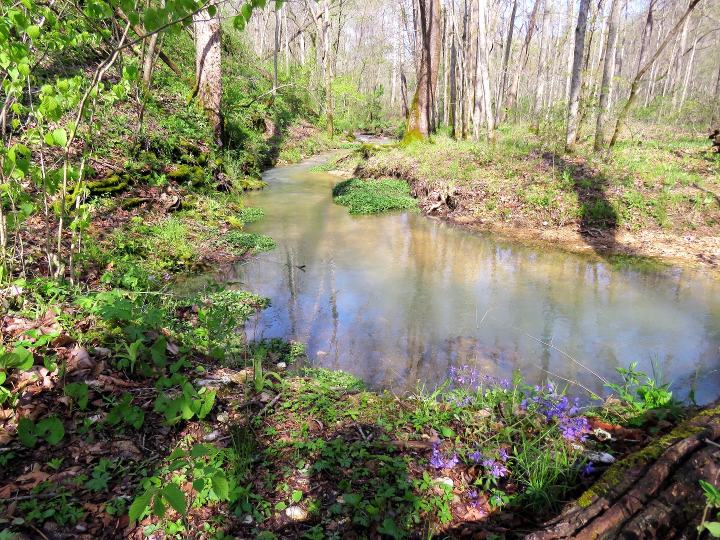
| There are a LOT of creek crossing on this hike. I managed to rock hop and stay dry for about half of the hike, thank goodness, because it was 41 degrees early on. |


 |
| The trail crosses over the park road. |
 |
| The dogwoods were in bloom everywhere. |
 |
| There is a shortcut connector trail but it was the long way for us. |
 |
| There are backpacking sites along the way. |


 |
| Anyone know what this is? It's the only plant like this that I saw along the way and it hasn't bloomed yet. |


 |
| The bluebells were coming back but a lot were shot already because did you hear, we had SNOW and two nights of frost earlier in the week? |

 |
| The park has 40 caverns underground and here is the entrance to one of them. |

 |
| Right after that cavern entrance there was no way to rock hop at this crossing and it was much warmer than earlier so in I went. |
 |
| There were several more creek crossings in a short distance so the nice thing about going in and getting wet is that it just doesn't matter any more and you can slog on over. |

 |
| A little glimpse of the Meramec River. |

 |
| These red flowers ... |
 |
| ... are everywhere in the clearing. |


 |
| Crossing back over the park road again. |


 |
| Coming up on this gravel road, we turned left. I was hoping to connect over to other trails. The trails int his park are mostly separate with no connections so I wanted to see if I could make a connection. |

 |
| The gravel road leads to the park maintenance area so we continued on through ... |
 |
| ...and came out at the park road. Directly across on the right ... |
 |
| ... the Bluff View Trail that I wanted to connect to. |


 |
| The trail turns left in front of this structure. |
 | |
| The views of the Meramec River begin. |


 |
| Here we turned left for the River Trail loop and would be returning from the right. |
 |
| There really wasn't much to see of the river on this trail. It is known for the profusion of bluebells in the spring but although there were some, they had mostly been wiped out by the snow and frost. |
 |
| Back on the Bluff View Trail. |
 |
| Coming out from the other end of the Bluff View Trail where we headed towards the park road and turned left for a road walk and in search of a way back down to the Wilderness Trail. |
 |
| Accidentally took a picture of myself wiping the camera lens, |

 |
| Road walk on the park road. |
 |
| Before the bend in the road we hopped the guardrail ... |
 |
| ... and bushwhacked a short distance over to the Wilderness Trail. |
 |
| Back across the bridge ... |
 |
| ... to the parking lot which was much busier in the afternoon than it had been at 7 AM. |
 |
| A turtle sped by just as I was getting ready to put Brodie in the car. Brodie was way too interested so after he was safely in the car ... |
 |
| ... I went over for a better shot and that turtle was on a mission. He was moving fast! |
A great smartphone app I use when hiking is Seek, by iNaturalist. It's helped me learn many of the flowers and fungi I spot along the trails. Free. I only use it for identification, and it works by using your camera.
ReplyDeleteGreg
I have that on my phone and have never had any luck with it so I didn't even bother. Tried it just now and I swear, this is the first time it has ever worked for me. (Have no luck with Merlin Bird ID either). So it is Toadshade which is native to the central part of the eastern US and the Ozarks - I was about an hour away from the Ozarks.
DeleteYep, there are times it doesn't work for me....maybe 1 out 20, or so. And, sometimes I can only get the class or family, not the local name. But I've learned lots in the times it has worked.
DeleteGreg