

ABOUT THE PARK:
Pyramid Mountain County Park - Morris County Parks
DIRECTIONS:
GPS Coordinates 40.946752, -74.388308
 |
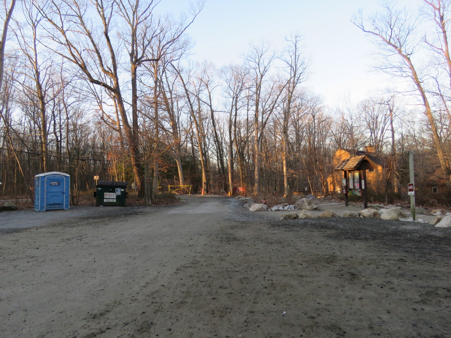
| At 7:30 AM my car was the only car in the lot. At 1:30 PM the lot is packed and cars are parked up and down both sides of Boonton Avenue. |
TRAIL MAPS:
Pyramid Mountain Trail Map - Morris County Park Commission
Jersey Highlands Trails Map #125 - NY/NJ Trail Conference
Powered by Wikiloc
HIKE DISTANCE: 9.8 miles
THE HIKE:
 |
| Head towards the parking lot exit to find... |
 |
| ... the beginning of the yellow trail. |
 |
| A short path leads to a crosswalk over Boonton Avenue. |

 |
| A right on red leads to ... |

 |
| ... a swamp with tons of singing birds. |


 |
| Those loud birds were elusive. From the blind I only saw ... |
 |
| ... a red-winged blackbird. |
 |
| Red makes a little loop and heads back to yellow where we continued right. |

 |
| Right on white. |
 |
| White goes around the back side of the swamp. |

 |
| Staying right on white when blue starts to the left. |


 |
| A winter view of Lake Valhalla |
 |
| When white ends, right on yellow. |


 |
| Following along the limestone quarry. There is an unmarked woods road on the other side that we would be taking later in the hike. |

 |
| Turning right on red into The Glen for an out-and-back along North Valhalla Brook. |

 |
| Red ends at Hemlock Drive just across from Lake Valhalla. |
 |
| Heading back. |
 |
| Right on yellow. |


 |
| Thinking this might be a turkey vulture skull. It was in the middle of the trail so I moved it off to the side so it wouldn't get trampled. |

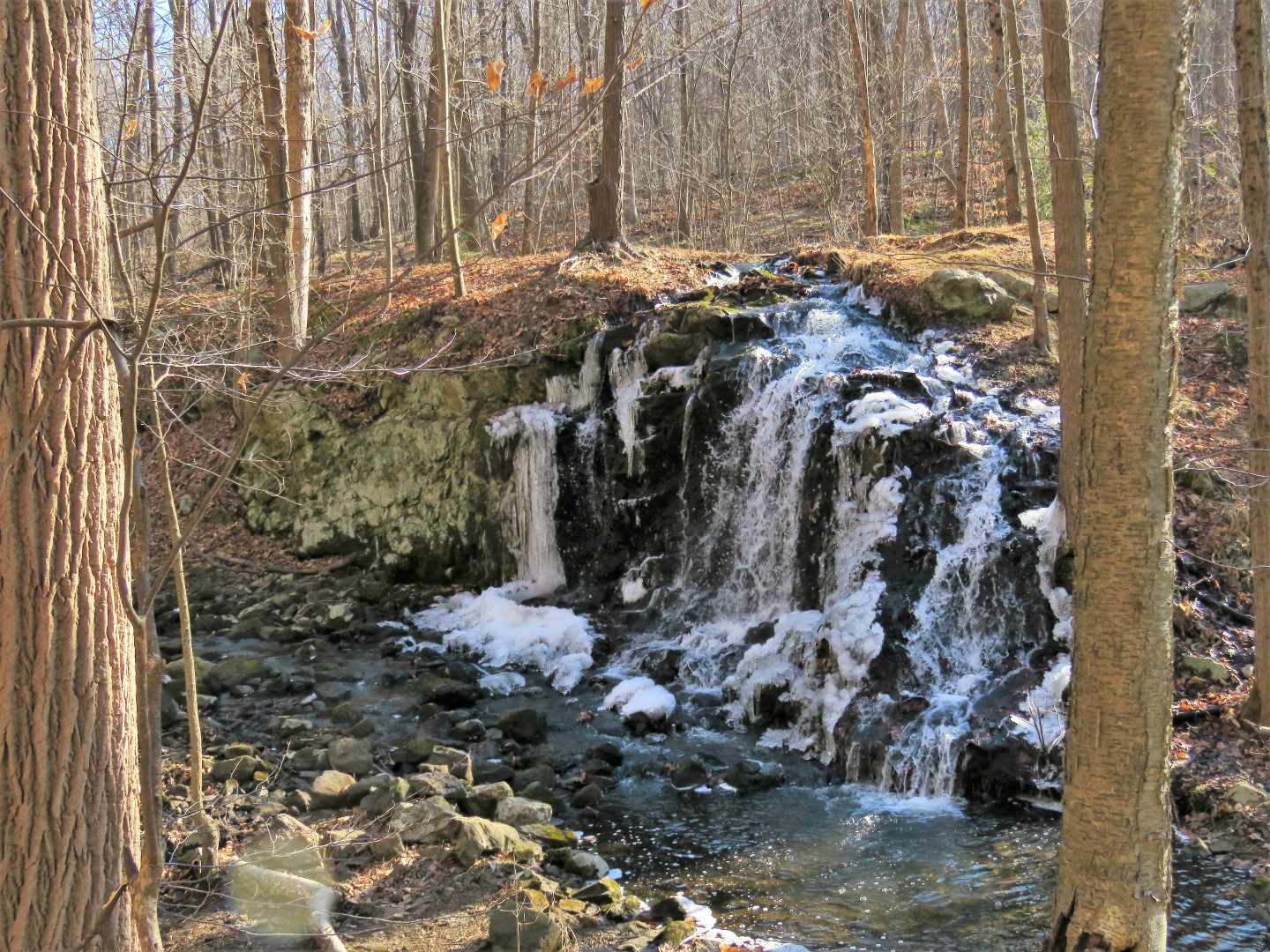 |
| The Falls |

 |
| Continuing on yellow. No more bridges at this farther, remote part of the yellow trail. It's all rock hops. |

 |
| When yellow follows parallel to Stony Brook Road, a short bushwhack over to Stony Brook Road ... |
 |
| ... leads to a pond on the other side. The map shows this as park property. |


 |
| There is an old structure ... |

 |
| ... that looks like stables. |
 |
| The map says you can park here although it looks like there is only room for about 1 car without blocking the park access road. Turns out there is better alternate parking farther along that is not on the map. |
 |
| It's a short bushwhack back ... |
 |
| ... to yellow. |
 |
| Yellow comes out on the road briefly to cross over North Valhalla Brook on the bridge. |
 |
| The trail goes back into the woods just after the guardrail and ahead is a nice parking pad for about 3 cars (not on the map), a great option to do this hike and avoid the madness at the main parking lot. |
 |
| Now yellow is a smooth woods road along wetlands. |


 |
| Left on green ... |


 |
| ... coming back up on the falls from the other side. |
 |
| Retracing a bit on yellow/green ... |
 |
| ... then right on green when yellow goes left. |

 |
| Right on red... |
 |
| ... steeply uphill on Turkey Mountain. |
 |
| Winter views of Lake Valhalla and a little bit of Boonton Reservoir beyond. |

 |
| Staying left on red when yellow starts to the right. |

 |
| Red ends in the power cut; right towards blue ... |
 |
| ... then left at the post. Straight ahead is 100 steps but we'd be returning for that later. |

 |
| Left on green ... |
 |
| ... to New York City skyline and ... |
 |
| ... Lake Valhalla views. |
 |
| Stone ruins a little farther along on green. |

 |
| Right on red heading towards the limestone quarry ... |
 |
| ... where we turned right just before the quarry on an unmarked trail. |
 |
| This runs right back into yellow. |

 |
| Balloon #12 of the year. |

 |
| Staying on yellow where we came off of white at the beginning of the hike. |

 |
| Right on blue. |


 |
| Left at the post in the power cut ... |
 |
| ... to 100 Steps descending steeply in the power cut. |
 |
| Looking back up the steps. |


 |
| Back at the parking lot. I'd say 90% of those people are on the Pyramid Mountain side. The Turkey Mountain side becomes far less crowded. |
There is room for 3-4 cars at the yellow trail trailhead on Boonton Ave if the Pyramid Mountain lot is full. Pyramid Mountain can be insanely crowded on a pleasant weekend day 12 months of the year. Turkey Mountain is far less populated...I prefer it.
ReplyDeleteWhen I finished at 1:30 Boonton Avenue was packed full of parked cars up and down both sides as far as I could see so I am sure those spots were long gone. Although parking is never an issue for me as I start at the crack of dawn, were I to do it again I'd go for those parking spots over on Brook Valley Road where nobody parks.
DeleteI also believe that you can park on Mars Ct. on weekends.
ReplyDelete