

ABOUT THE PARKS:
Staten Island Greenbelt - Greenbelt Conservancy
Great Kills Park - National Park Service
DIRECTIONS:
GPS Coordinates 40.607331, -74.156980
 |
| Parking at Willowbrook Park. |
TRAIL MAPS:
Greenbelt Hiking and Running Trails - Greenbelt Conservancy
 |
| I could not get the download links to work for the map so I snagged an image. |
 |
| Great Kills Park map from Wikimedia Commons as I could not find it on the NPS site. |
Powered by Wikiloc
HIKE DISTANCE: 17.25 miles total
Greenbelt White Trail from Willowbrook Park to Greak Kills Park - 6 miles one way
Great Kills Park Trails - 5.25 miles
THE HIKE:
This is a great option for a no hunting hike during hunting season.
 |
| The beginning of the white trail in Willowbrook Park. |

 |
| The white trail continues to the right of the carousel... |
 |
| ... then turns left into the woods. |

 |
| It didn't take long to come across balloon #60 of the year. We'd be picking up 4 more along the way. |

 |
| Passing a dog park. |
 |
| Lots of bridges on the trail. |
 |
| Coming up on ruins. |


 |
| Looks like some puncheons were repurposed as party spot benches :(. |
 |
| The trail goes quite a way before road crossings start. |


 |
| After the first two road crossings, it's uphill on Heyerdahl Hill ... |
 |
| ... where the Nature Trail and blue trail join in. This is the most remote feeling part of the white trail. |


 |
| We are staying with white. The other trails are for another day. |


 |
| Continuing on through Buck's Hollow. |
 |
| After passing a little pond ... |
 |
| ... the trail turns left then left again on residential roads a short distance to ... |
 |
| ... where that white car is turning from at that blue sign. |
 |
| Here the trail goes through the break in the guardrail ... |
 |
| ... down into Egbertville Ravine. |
 |
| There will be several road crossings, mostly residential, some very busy with no crossing lights. |


 |
| After all of the road crossings, the trail follows the narrow strip of green space between homes. |
 |
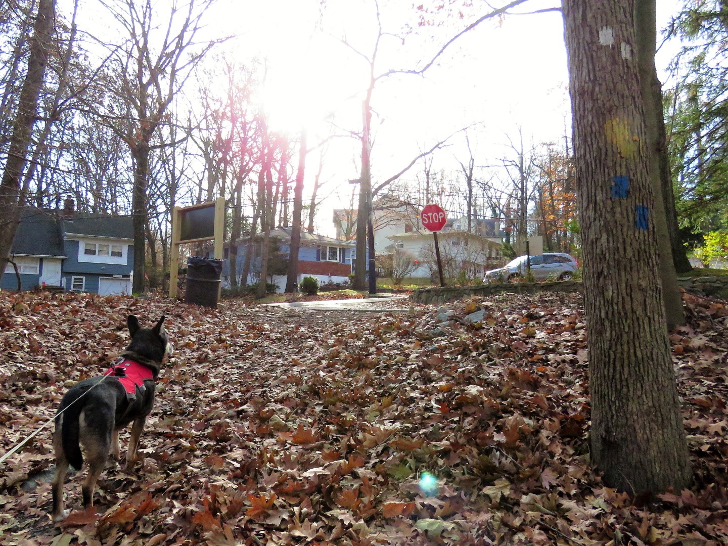
| When the trail comes out at Clarke Avenue, turn left ... |
 |
| ... cross Amboy Avenue at the light the continue straight past Amundsen Circle ... |
 |
| ... then right continuing on the white trail. |
 |
| Going under railroad tracks. |
 |
| No more road crossings until ... |
 |
| ... the white trail ends at ... |
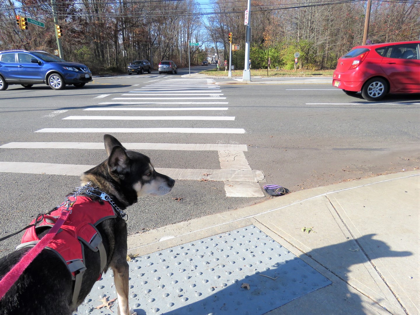
 |
| ... Hylan Boulevard directly across from Great Kills Park. |
 |
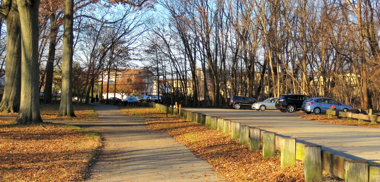
| The multi-use path through Great Kills Park has different surface options. |
 |
| There are trash cans everywhere. There is also litter everywhere. I picked some up along the way and deposited it in the trash cans. I will never understand why this is such a hard concept for some people to grasp. |

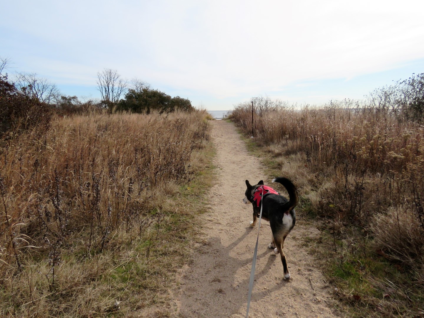 |
| Some side trail to the left to ... |
 |
| ... water views. |


 |
| We made one of them our break spot. |

 |
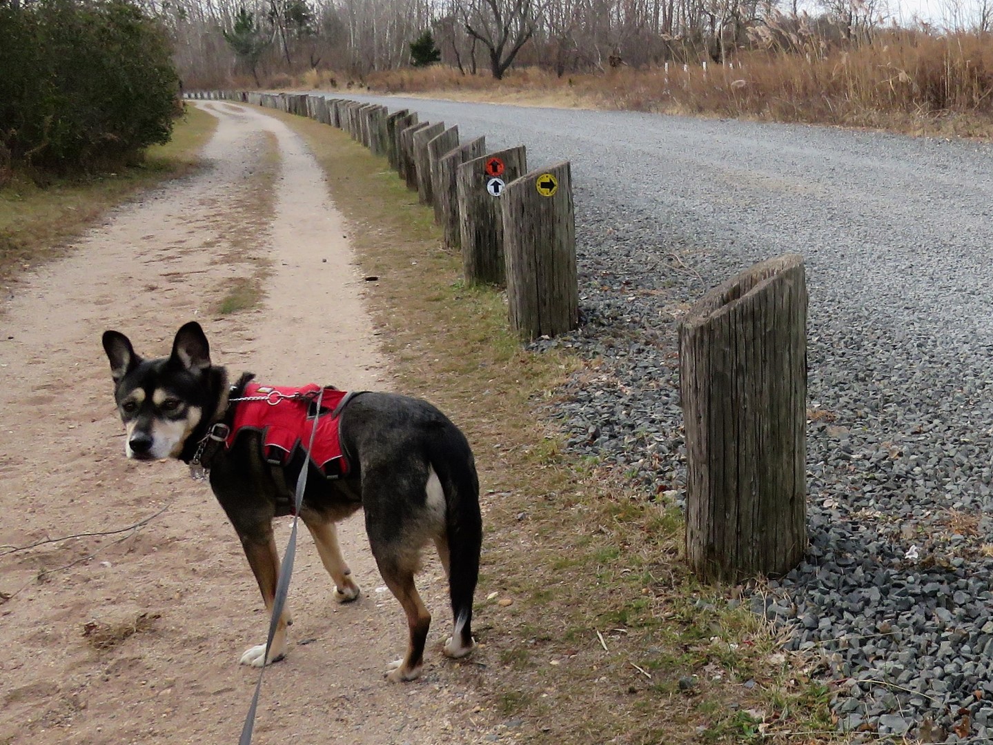
| Almost at the end there are trail markers. |

 |
| We took the yellow trail to find it mostly closed but the red and white trails merge in so we just followed them around where we could. |


 |
| We eventually came out at a parking lot where a right turn ... |
 |
| ... took us along a pretty trail to the beach. |


 |
| We looped around coming out on the other side of the parking lot ... |
 |
| ... and started the long hike back. |

 |
| Coming up on Hylan Boulevard ... |
 |
| ... and crossing back over ... |
 |
| ... to the Greenbelt White Trail. |


 |
| Coming up out of Egbertville Ravine. |
 |
| Back through Buck's Hollow. |


 |
| Back through Willowbrook Park along the pond. |


A little bit of country in New York City. The deer are relatively recent. They probably swam over from NJ. There is a large wild turkey flock on the grounds of Staten Island Hospital in South Beach (which is not along the greenbelt, but near the eastern shore of the island). I once saw a group of them crossing busy Hylan Blvd. single file at a light with the WALK signal. Wish I'd had my camera.
ReplyDeleteThat would have been a very cool picture!
DeleteBrodie doesn't have to carry out trash today, lol!
ReplyDeleteThere were trash cans everywhere so he got a day off.
Delete