

ABOUT THE PARK:
Peaks of Otter - National Park Service
DIRECTIONS:
GPS Coordinates for Flat Top Parking: 37.468368, -79.580441
View Larger Map
TRAIL MAP: Peaks of Otter - National Park Service
HIKE DISTANCE: 5.65 miles
HIKE DESCRIPTION:
 |
| Sharp Top (left) and Flat Top (right) |


 |
| Trail becomes more rugged and switchbacks up. |

 |
| Apple Orchard Mountain (with white ball on top) from Cross Rock intersection. |
 |
| View from Cross Rock intersection. |

 |
| Rock scramble to western view. |
 |
| Western View |
 |
| Eastern View |
 |
| Sharp Top from Flat Top |
 |
| White-spotted Slimy Salamander |
 |
| Eastern Towhee |
HIKE SUMMARY:
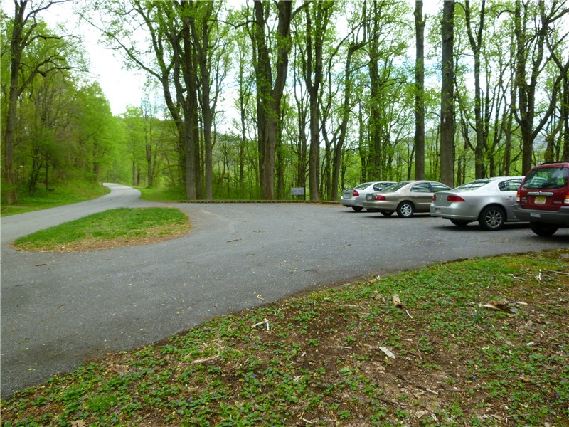
[ 0.00] Start Flat Rock Trail from parking lot
[ 2.10] Intersection with trail to Cross Rock; rock scramble to views
[ 2.55] Short side trail to left to rock outcrop with view
[ 2.65] Keep right at multiple intersections to summit sign; right to rock scramble to view
[ 2.80] Explore maze of trails at summit for rock scrambles with views on both sides; start back from summit sign
[ 3.15] Intersection with trail to Cross Rock; rock scramble to views
[ 5.65] Back at parking lot
No comments:
Post a Comment