ABOUT THE PARK:
Cedar Bonnet Island - Edwin B. Forsythe National Wildlife Refuge Facebook Page
Cedar Bonnet Island Environmental Trail - South Jersey Trails (How I found out about this hike - thanks South Jersey Trails!)
DIRECTIONS:
GPS Coordinates 39.65718, -74.19371
 |
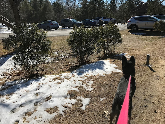
| Room for about 10 cars in a lot right off of Route 72 after crossing over Manahawkin Bay. |
TRAIL MAP:
HIKE DISTANCE:
Cedar Bonnet Island - 1.5 miles
hiked together with
Cloverdale Farm County Park - 2 miles
12 miles/16 minutes away
hiked together with
Cloverdale Farm County Park - 2 miles
12 miles/16 minutes away
THE HIKE:
As mentioned in the Cloverdale Farm hike, pardon the poor quality iPhone pictures. Forgot to put the memory card in my good camera.
 |
| Head west from the parking lot a short distance along the sidewalk ... |
 |
| ... to the entrance on the left. |
 |
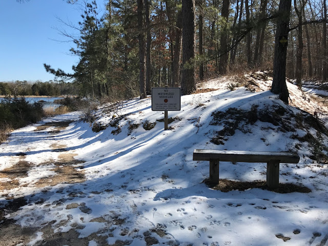
| The path is all loose gravel which can be somewhat uncomfortable to walk on but where everyplace else is a sloppy, slushy mess and ice and snow, this was all bone dry. |
 |
| We went left at the first fork and would be returning from the right. |
 |
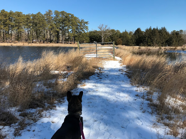
| Staying to the left here also for an out-and-back portion to a pavilion. |
 |
| Heading back. |
 |
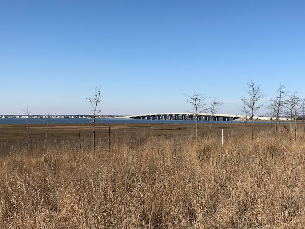
| The bridge we had driven in on in the distance. |
 |
| Now to the left to complete the loop portion. |
 |
| Back at the entrance ... |
 |
| ... and a right turn back to the parking lot. |


