Appalachian Trail New Jersey - Appalachian Trail Conservancy
DIRECTIONS:
GPS Coordinates 41.201500, -74.391610
 |
| Appalachian Trail Parking along Warwick Turnpike |
TRAIL MAP:
Northern New Jersey Highlands Trails Map 152 - New York New Jersey Trail Conference
HIKE DISTANCE: 8.9 miles
Hiked together with Fuller Mountain Preserve, NY (1.7 mile drive away) - 2.6 miles
THE HIKE:
 |
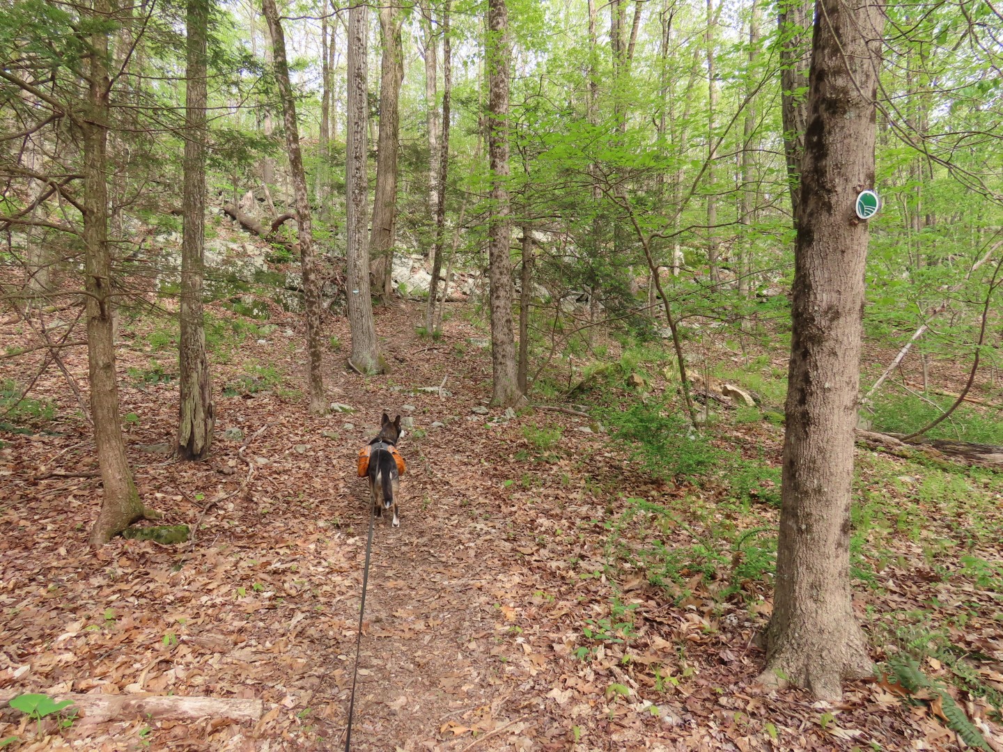
| Heading north on the Appalachian Trail. |


 |
| It's a shame there is no connection to Fuller Mountain Preserve. Looks like it would be just under a mile to the southern end of the trail. |


 |
| Coming up on Longhouse Road |
 |
| It's a short road walk ... |
 |
| ... to roadside parking and continuing on the trail. Parking here would take 2.6 miles (1.3 each way) off of this hike. |

 |
| This guy passed me and I had to zoom in to read his shirt. |


 |
| The last time I was here in 2011 this bridge had been wiped out by Hurricane Irene and I had to shimmy across on a log that is no longer there. |
 |
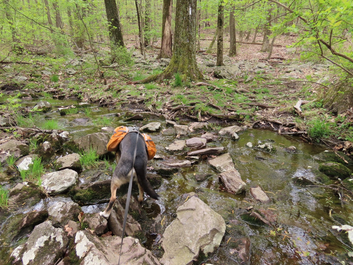
| Long House Creek |
 |
| Entering Abram Hewitt State Forest after crossing Long House Creek. |
 |
| Passing by yellow - we would be returning here on yellow at the end of the loop. |
 |
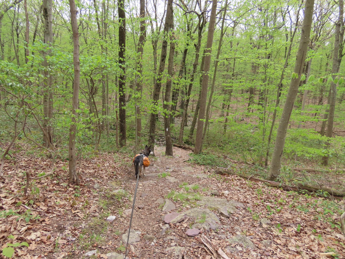
| Now the real fun begins. The topo looks pretty flat but don't be fooled, it is anything but flat. It's an almost continuous series of ups and downs with many scrambles thrown in. |


 |
| Leaving the AT turning right on the blue State Line Trail. |


 |
| Right on yellow when blue continues straight, steeply downhill. |


 |
| Many views of Greenwood Lake. |


 |
| Back into the woods towards Surprise Lake... |
 |
| ... for a break. This place is usually pretty busy but we were the only ones there. |
 |
| Continuing on green/yellow. |
 |
| This was the trickiest scramble to get Brodie up. He does not cooperate at all, in fact he tries his darndest not to go up. |
 |
| Got him up on the narrow ledge ... |
 |
| ... then shoved him up the rest of the way. Whew! Now my turn and trust me, there will never be photographic evidence of that. I always make sure there are no witnesses around. |
 |
| Green leaves to the left and we stayed with yellow, |

 |
| There is a short side trail to the right for a view of West Pond but I could hear two women laughing and cackling in there so I decided to continue on to get away from the chatter. I had been there before anyway. |
 |
| Getting Brodie down is definitely easier than getting him up. |

 |
| Staying with yellow when pink is to the left. |
 |
| West Pond to the right. |

 |
| Finally back at the Appalachian Trail where we turned left to retrace, the hardest part now behind us. |
 |
| It is still multiple ups and downs all the way back but no more scrambles. |


 |
| Back at Longhouse Road, wishing I had parked here. Having hiked Fuller Mountain Preserve first, I was really tired. |


 |
| Now back at the car on Warwick Turnpike. |