

Long Pond Ironworks State Park - New Jersey State Park Service
DIRECTIONS:
GPS Coordinates 41.12708, -74.30116
 |
| Monksville Reservoir South Boat Launch |
TRAIL MAP:
Northern New Jersey Highlands Trail Map 151 - New York New Jersey Trail Conference
HIKE DISTANCE: 10.1 miles
THE HIKE:
 |
| Taking the short connector trail from the far right corner of the huge parking lot. |

 |
| Left on the white Monks Trail. |
 |
| Left on a side trail to ... |

 |
| ... views of Monksville Reservoir. |
 |
| Continuing on white. |


 |
| When white crosses a wide woods road, we turned left ... |
 |
| ... then at the bottom left again on an unmarked woods road. |

 |
| At the end of the woods road, views of Monksville Reservoir. |


 |
| Heading back. |


 |
| Passing by the woods road we had come down on ... |
 |
| ... then left on white when it crosses over. |

 |
| White ends and begins at the north boat launch. |

 |
| Coming up on Greenwood Lake Turnpike down below ... |
 |
| ... watch for a green trail on the left. |

 |
| Crossing over Greenwood Lake Turnpike to Beech Road. |
 |
| A short distance along Beech Road, the green trail continues to the right. |


 |
| Haven't found one of these in a long time! It is only balloon #6 of the year. |

 |
| The green trail descends to Beech Road ... |
 |
| ... and continues left after the Tranquility Ridge park sign. |
 |
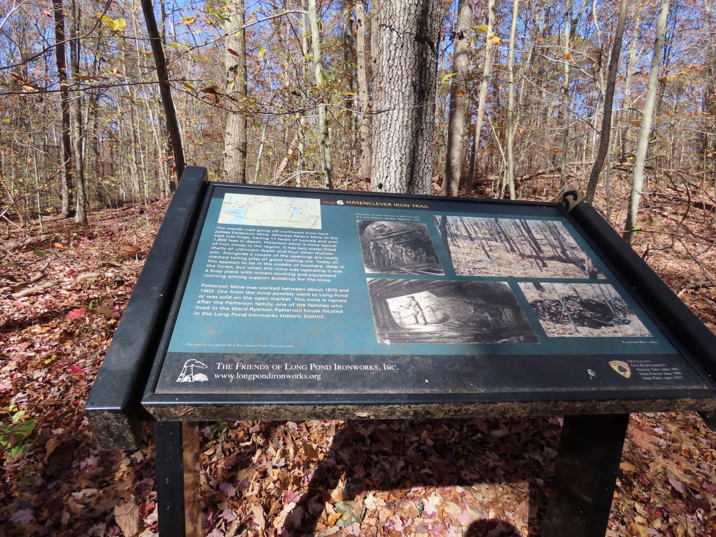
| A short distance in green ends, continuing straight on the yellow Hansenclever Iron Trail. |

 |
| Several interpretive signs along the Hansenclever Iron Trail. |


 |
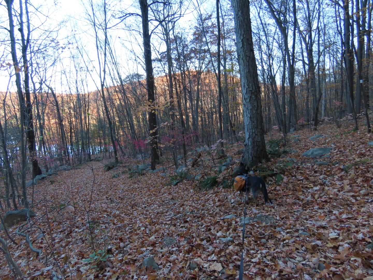
| The northern side of Monksville Reservoir. |

 |
| Right on the Highlands Trail/blue Sterling Ridge Trail. |


 |
| Passing by the yellow Jennings Hollow Trail. |


 |
| When the Highlands/blue trail veers left, we continued straight on an unmarked woods road. |

 |
| It was tricky to find the unmarked turn on to another unmarked trail but it was there. |

 |
| This comes out on the yellow Hansenclever Iron Trail and interpretive sign 6 where we turned left. |

 |
| At sign 7 the yellow trail turns left; we turned right on unmarked Beech Road which is a woods road here. |


 |
| Beech Road continues past the Tranquility Ridge park sign where it becomes a gravel road. |
 |
| Passing by where we had come off of the green trail before and staying with Beech Road. |
 |
| Beech Road becomes paved. |

 |
| Picking up green behind the Ringwood sign after crossing Greenwood Lake Turnpike again. |
 |
| Left on white to continue around the white loop. |


 |
| Yellow markers from Highlands Meadow join in. I had hiked this 11 years ago but did not have a map at that time. This time I printed out the map and brochure explaining the different points of interest. |


 |
| The trail did not seem to be used much. |

 |
| Some of the numbered stops explained in the brochure still exist. |
 |
| The Harry Vreeland House seems to be under renovation? |
 |
| The Meadow was pretty much a mess. |
 |
| Some plants were growing. |
 |
| Heading down from the meadow towards the house then continuing left on the trail. |
 |
| What trail? We hacked through thorny overgrowth ... |
 |
| ... and managed to find the trail again to continue the loop. |
 |
| Basically, the trail is a mess and has not been used or maintained so it very well might not even exist any more. |
 |
| Back on the white trail. |
 |
| Left on the connector trail ... |
 |
| ... back to the parking lot. |