ABOUT THE PARK:
DIRECTIONS:
GPS Coordinates 42.12624, -74.47059
 |
| Room for about two cars just outside the Belleayre Beach entrance, closed after Labor Day. In the summer there would be access to the beach parking lot, probably for a fee. |
TRAIL MAP:
HIKE DISTANCE: 9.2 miles
THE HIKE:
 |
| Heading towards the covered bridge. |
 |
| Keeping left passing by Belleayre Beach. |
 |
| Between two pavilions the Giggle Hollow Trail starts to the left at the far end of the clearing. There are no signs. |
 |
| Well this was unexpected. The Giggle Hollow is straight ahead and we'd be returning that way. To start I wanted to take the abandoned railroad tracks but I hadn't counted on them being overhead. |
 |
| Fortunately we were able to climb up along the abutment and there were actually some crude steps along the way ... |
 |
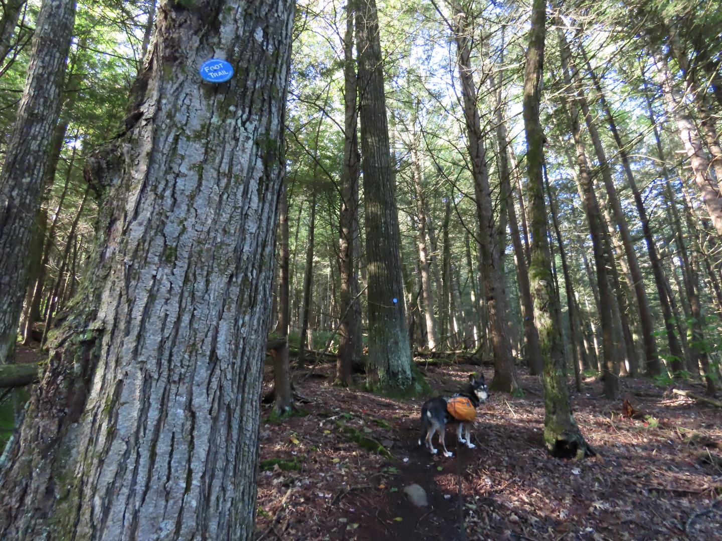
| ... coming out at the tracks where there was an old blue trail marker. |
 |
| The tracks were in decent shape to hike, just three blow downs that needed to be navigated around or through |
 |
| The link above is an article about converting this into a $4 million rail trail. I say clean it up some, fix the bridges and call it a day. It's a fine hiking trail as is! |
 |
| This bridge before Station Road is a bit dicey - I crossed VERY carefully. |
 |
| Just after that bridge, right on Station Road to just before the bend where a faint trail heads through overgrowth ... |
 |
| ... right back to the railroad tracks to continue on. |
 |
| At 1.75 miles look for a sharp left turn onto the Cathedral Glen Trail. |
 |
| This is a barrier to prevent skiers from getting on the footpath. |
 |
| From this point on the trail is an old ski slope that becomes very steep and overgrown with giant ferns and stinging nettle. To avoid all of that I wanted to find a woods road on the right which would bypass all of that. |
 |
| I found a path leading to the right ... |
 |
| ... where it entered the woods as a woods road the other side of the ski slope. |
 |
| I was surprised to see the blue markers continuing here. Maybe the Cathedral Glen Trail was recently rerouted? It still shows the overgrown ski slope route on the 2023 map. |
 |
| Coming out of the woods at a cleared ski slope ... |
 |
| ... we turned left on the grassy slope and climbed up steeply. |
 |
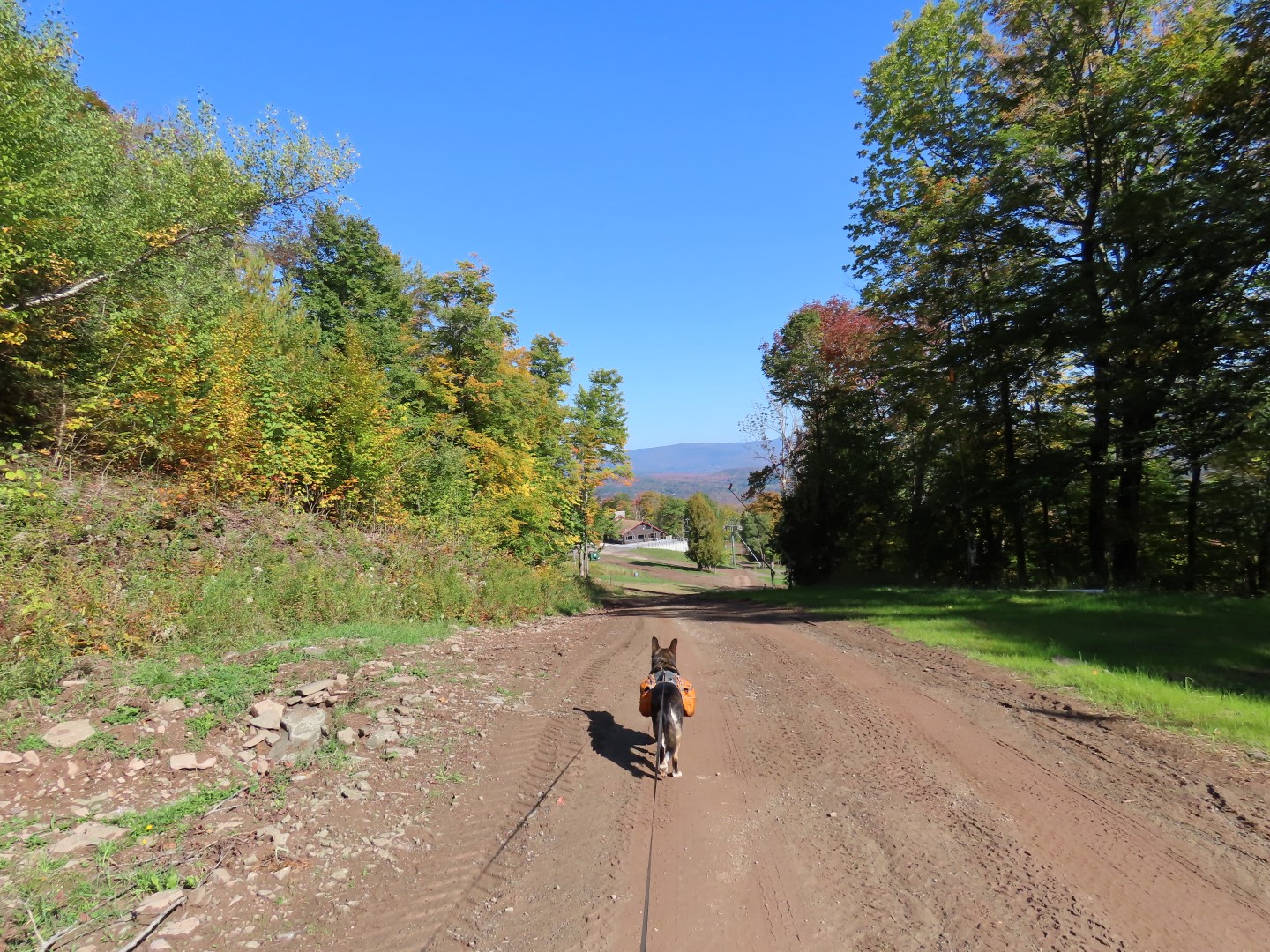
| You have to turn around every so often to capture the views behind. |
 |
| At the top at a wide open dirt road with tire tracks, I decided to turn right to check out Overlook Lodge. |
 |
| Retracing back, we took the Roaring Brook Trail which also has nice views from behind. |
 |
| Roaring Brook Trail - Another wide open dirt road with tire tracks. |
 |
| Coming up on the ridge. |
 |
| We had a brief moment to ourselves before the loud groups started arriving having ridden the gondola up - our cue to get going back to peace and quiet. (This is the only place we saw other people - did not run into anyone else on trails the entire hike.) At this building, the grassy road to the right is the red trail. |
 |
| This would be where the Cathedral Glen Trail comes out but I really could not tell where since it was so overgrown. |
 |
| At the clearing where there used to be a fire tower, keeping left on blue. |
 |
| After passing the red trail on the right to Lost Cove there is a stretch of nice flat trail. |
 |
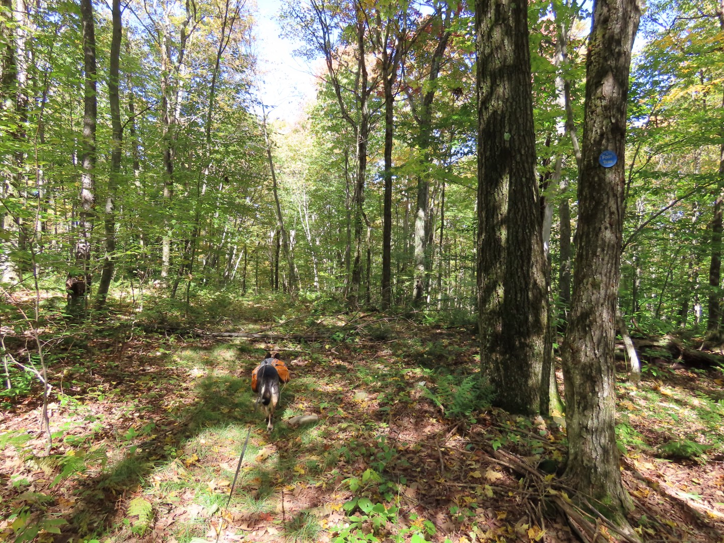
| Before the trail starts to decline, watch for the Giggle Hollow Trail on the right, it is not easy to see at all and I completely missed it. |
 |
| It's overgrown going in but soon clears out and alternates between footpath and woods road. |
 |
| Watch for the sharp left turn; there are logs across the trail straight ahead where Brodie is standing. |
 |
| From here it's all woods road the rest of the way with some pretty steep declines with running water, mud and loose rocks on the trail surface so it's slow going checking for footing with each step. |
 |
| There is one particularly tricky part along this trail where it turns sharply right (where straight ahead the woods road is more overgrown) for a couple of steps then left on to a different woods road. I needed to navigate with the app to find that because it was not obvious at all. |
 |
| Back at the railroad tracks, under the bridge ... |
 |
| ... then back through Belleayre Beach. |


Gorgeous! And such great description. Hope to get up there from South Jersey one of these days. And good to see you rocking the elevation gain and mileage. Carol
ReplyDeleteThanks, Carol! Until I posted this I hadn't realized it had been an entire month since I hiked. No wonder my legs are sore! It needs to stop raining on the weekends I am able to hike.
DeleteSorry to hear that you are going through chemo, but glad you are able to get out. Nature is good medicine. I remember hiking up Bellyare Mountain. I think we may have done Giggle Hollow Loop as well. We were working on trying to hike all of the trails in the Catskills, but we hadn't finished before we moved away. I think Glen still wishes we had finished!
ReplyDeleteThanks, Lynn. I was adamant about not getting a port and once I showed the oncologist how hard I work out to get back to hiking after each round of chemo he agreed that my activity is way more important than a port because that is what will get me through this so that was the end of the port discussion. So my reward for working back each time is a hike in the Catskills, as long as the weather cooperates.
DeleteI thought you had said you and Glen had not finished redlining yet. So close to finishing, weren't you?