

Michaux State Forest - Pennsylvania DCNR
DIRECTIONS:
GPS Coordinates 39.80209, -77.47677
 |
| Parking on Old Forge Road |
TRAIL MAP:
Michaux Map - Purple Lizard Maps
HIKE DISTANCE: 6.8 miles
THE HIKE:
Hike 1 of 2 on the first day of the semi-annual trip from New Jersey to Missouri.
 |
| From the parking area, left a few steps then right ... |
 |
| ... on the Appalachian Trail north. |

 |
| Tumbling Run |
 |
| Staying right on the AT and would be returning from the left on the Tumbling Run Trail. |
 |
| Tumbling Run Shelter |
 |
| The AT isn't particularly rocky along this stretch. |

 |
| A rocky stretch before ... |
 |
| ... turning right on the blue trail to Chimney Rocks. |

 |
| The only time we ran into other people on this hike was at the overlook. |


 |
| Continuing north on the AT. |


 |
| Left on an unmarked trail. |

 |
| This comes out on Chimney Rocks Road ... |
 |
| ... then leaves to the right. |

 |
| Left into the gas pipeline cut. |

 |
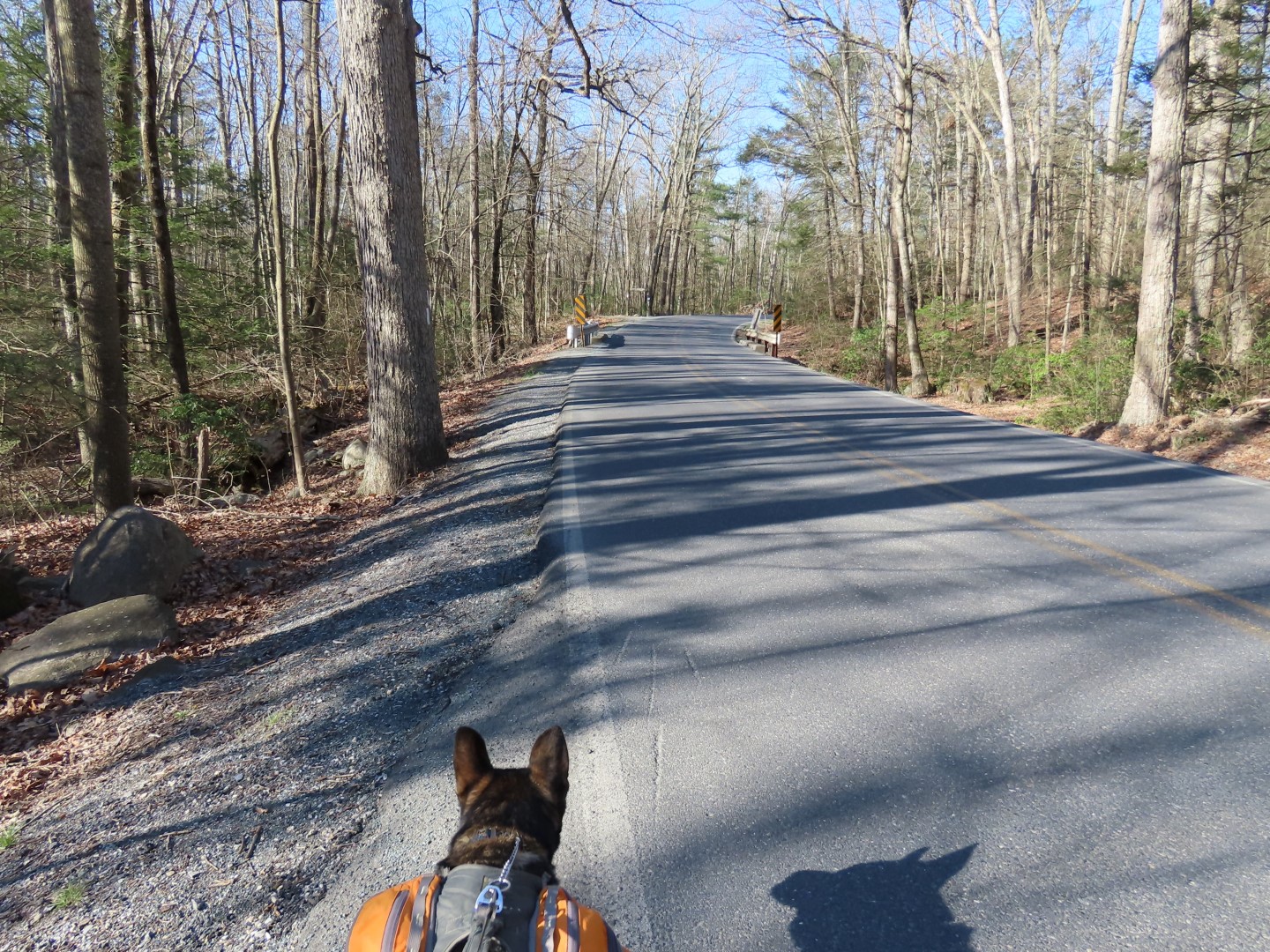
| Right on Chimney Rocks Road. |

 |
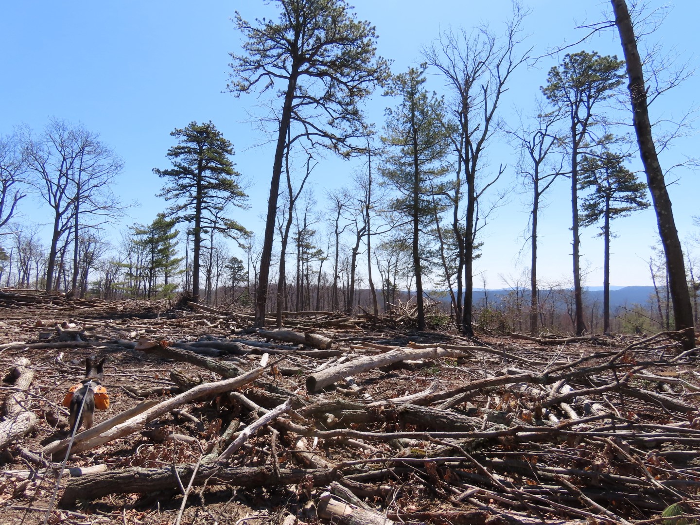
| Two cairns on the right mark the unmarked trail I wanted to take. |

 |
| Unfortunately the trail was obliterated by logging and I lost it. |
 |
| I made my way back over to Chimney Rocks Road. |


 |
| A left at the fork becomes the blue-blazed Tumbling Run Trail. |


 |
| It switchbacks down all the way to Tumbling Run. |


 |
| Merging back on to the AT south ... |
 |
| ... to left on Old Forge Road ... |
 |
| ... back to parking. |
No comments:
Post a Comment