ABOUT THE PARK:
DIRECTIONS:
GPS Coordinates 41.18044, -74.78763
 |
| Culver's Gap Parking |
TRAIL MAP:
HIKE DISTANCE: 11.6 miles
I needed a hike with early out options since I was just getting over being sick and wasn't sure if I was 100% back to it yet. With Sunrise Mountain Road closed for the winter, road walking back was always an option if needed. I ended up doing the entire route as planned. Shorter hikes would have played out like this:
- AT to green Fire Tower Trail - with road walk back 3.5 miles / loop with trails 5 miles
- AT to brown Stony Brook Trail - with road walk back 5 miles / loop with trails 6 miles
- AT to yellow Tinsley Trail - with road walk back 7.7 miles / loop with trails 8.5 miles
THE HIKE:
 |
| Picking up the Appalachian Trail from the parking lot. |
 |
| Heading north on the AT. |
 |
| After a short distance the AT crosses over Sunrise Mountain Road. |
 |
| The trail become rockier and steeper as it ascends to the ridge. |
 |
| Almost at the top, just before the trail makes a left turn, views of Kittatinny Lake. |
 |
| Kittatinny Lake |
 |
| After turning left the trails ascends above Culver Lake. |
 |
| Culver Lake |
 |
| A communications tower up ahead. |
 |
| To the left, a short side trail with some views. |
 |
| Culver Fire Tower |
 |
| Views from the base of the fire tower. |
 |
| Passing by the green Tower Trail which allows for 3.5 and 5 mile options. |
 |
| Passing by the brown Stony Brook Trail at the Gren Anderson shelter which allows for 5 and 6 mile options. |
 |
| According to the snow depth map, there would have been 4-8 inches of snow here earlier in the week. On this day, just a few patches left after several warmer days. On this day, however, the temps never made it out of the 30's and it was very windy with wind chills probably in the 20's. |
 |
| Coming into an area of pines ... |
 |
| ... a side trail to the left to views. |
 |
| High Point Monument can be seen from here but there were too many branches in the way to get a good picture. |
 |
| Passing the yellow Tinsley Trail which would allow for 7.7 and 8.5 mile options. |
 |
| Downy Woodpecker |
 |
| The trail starts to wind around the other side of the ridge ... |
 |
| ... up to the Sunrise Mountain pavilion. |
 |
| There are new benches and graffiti has been cleaned up since I was here last several years ago. |
 |
| A little farther along from the pavilion ... |
 |
| ... views that are actually better than those from the pavilion. |
 |
| Passing by the empty parking lot. When Sunrise Mountain Road is open this place is packed on weekends. So nice to be the only ones there. |
 |
| Leaving the AT to the left on the blue with black dot trail. |
 |
| This ends at the blue Blue Mountain Loop where we turned left. |
 |
| The trail descends very steeply, on ice covered rock slabs on this day so we had to stick to the pine needle covered areas. |
 |
| Crossing over Sunrise Mountain Road. |
 |
| We would be staying with the Blue Mountain Loop for about 4 miles. |
 |
| Coming up on the cabin. |
 |
| The wind must have blown this out of a tree. The intricate detail of these nests always amazes me. |
 |
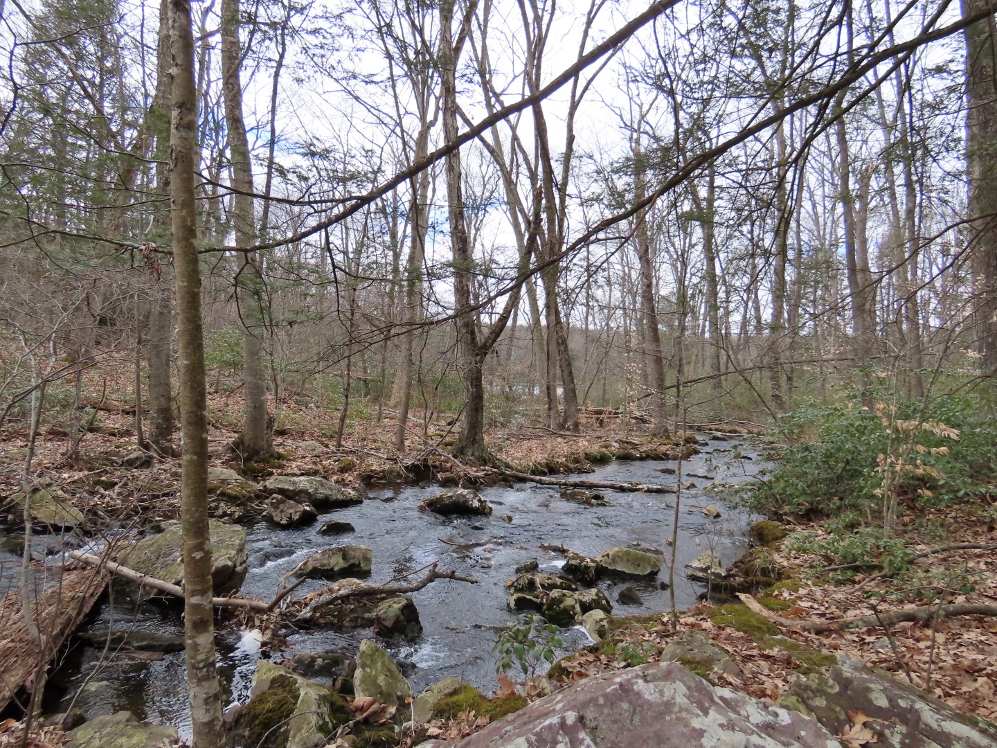
| When blue heads downhill to Stony Lake, we turned left on brown/green a short distance ... |
 |
| ... to right on the blue Coursen Trail. |
 |
| The Coursen Trail ends at Sunrise Mountain Road where we turned right and road walked back. |
 |
| Passing by the AT where we had started the hike. |
 |
| The closed gates at Sunrise Mountain Road. The road will reopen on April 15. |
 |
| Just beyond the gate, right on the drive to the parking lot. |


Hi. Glad you're feeling better, I missed seeing a post last week. I'm getting up in years and don't do major hikes any more, so I vicariously look forward to your post each week. Thanks.
ReplyDeleteThanks, Ken! I hated missing last week but just wasn't up for it. Those grandchildren pass on some wicked germs!
Delete