

Ward Pound Ridge Reservation - Westchester County Parks
DIRECTIONS:
GPS Coordinates 41.27662, -73.58794
 |
| Lewisboro Town Park Parking |
TRAIL MAP:
Westchester Trails Map 131 - NYNJ Trail Conference
Ward Pound Ridge Map - Westchester County Parks
HIKE DISTANCE: 12.8 miles
THE HIKE:
 |
| From the parking lot continuing on the park road keeping to the right. |
 |
| Uphill to the right, at the kiosk ... |
 |
| ... left on blue. |

 |
| Blue ends at Ward Pound Ridge Reservation. |

 |
| Keeping to the right on Deer Hollow ... |
 |
| ... then brown. |

 |
| Unmarked trail leads to ... |

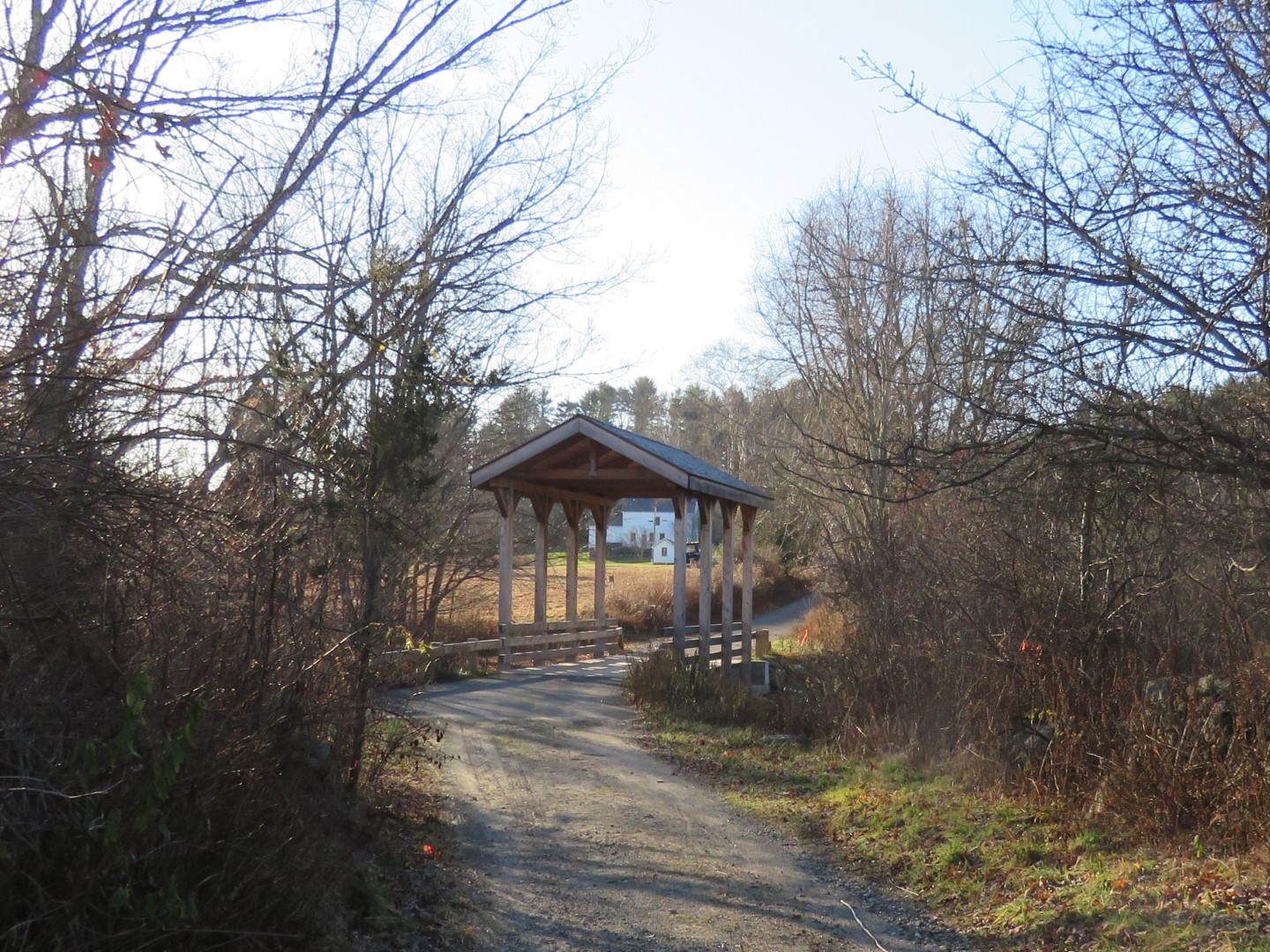 |
| ... a bridge over Cross River ... |
 |
| ... then the park office at the main entrance. |

 |
| After crossing the road at the park office, straight ahead leads to a cemetery. |
 |
| The inventory of this cemetery was done as an eagle scout project. |

 |
| Continuing on unmarked ... |
 |
| ... then on white to ... |


 |
| ... the overlook. |

 |
| From Leatherman;s Loop we continued on unmarked trails shown on the Gaia app but not on any maps. |
 |
| This eventually fizzled out and turned into a bushwhack until I met back up with a defined trail. |
 |
| From green/red ... |
 |
| ... to white ... |
 |
| ... to the Rocks Trail. |

 |
| Spy Rock |
 |
| This trail is very rugged with lots of ups and downs. |


 |
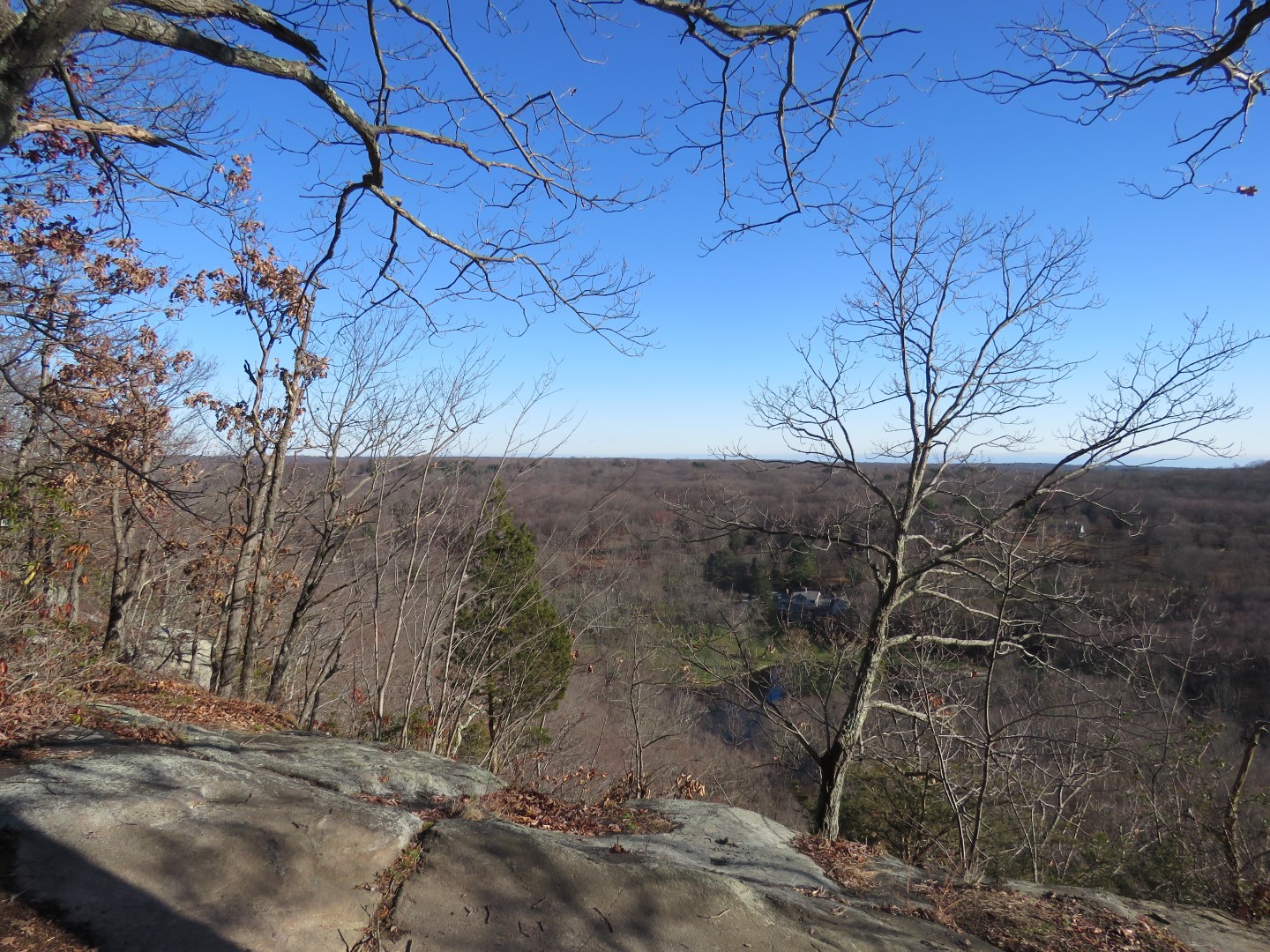
| Raven Rocks Overlook |
 |
| Then the Rocks Trail turned left, we continued straight on white ... |

 |
| ... to right on blue. |


 |
| Coming out at a picnic area ... |
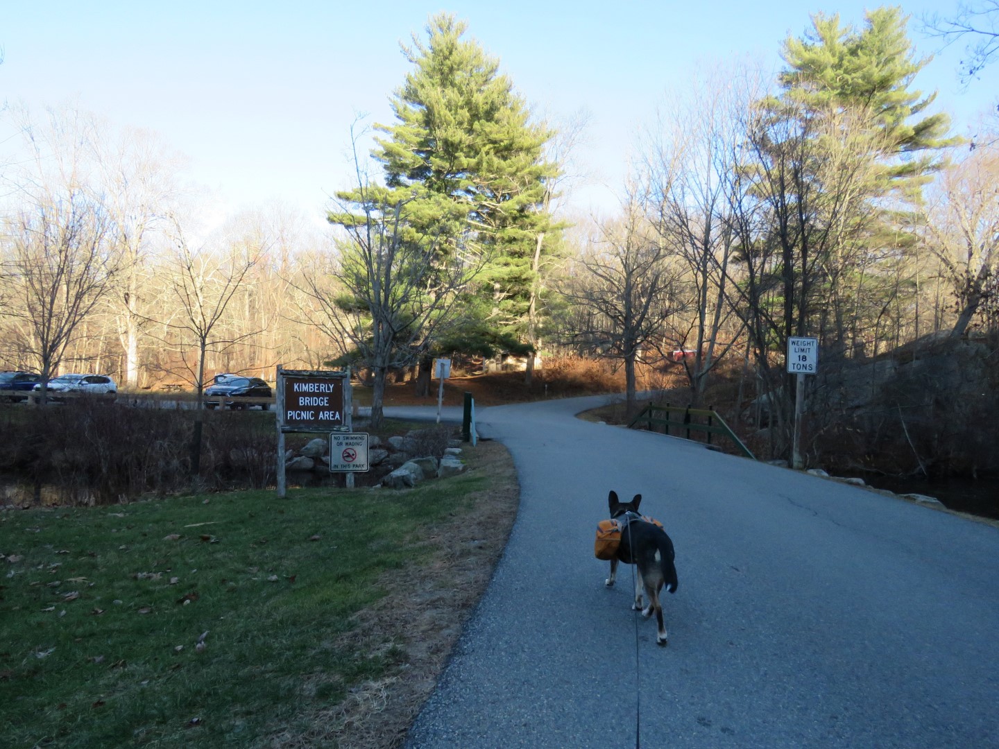 |
| ... right on the road passing the Kimberly Bridge Picnic Area ... |
 |
| ... meeting up with the Deer Hollow Trail which follows the park road ... |
 |
| ... then leaves to the right. |
 |
| Following along Cross River for a bit. |

 |
| Deer Hollow crosses back over the park road. |


 |
| Right on blue. |


 |
| Coming up on Lewisboro Town Park. |


 |
| Back at the parking lot. |
I don't recognize that cemetery. How can I have missed this with all of my hiking there???
ReplyDelete