
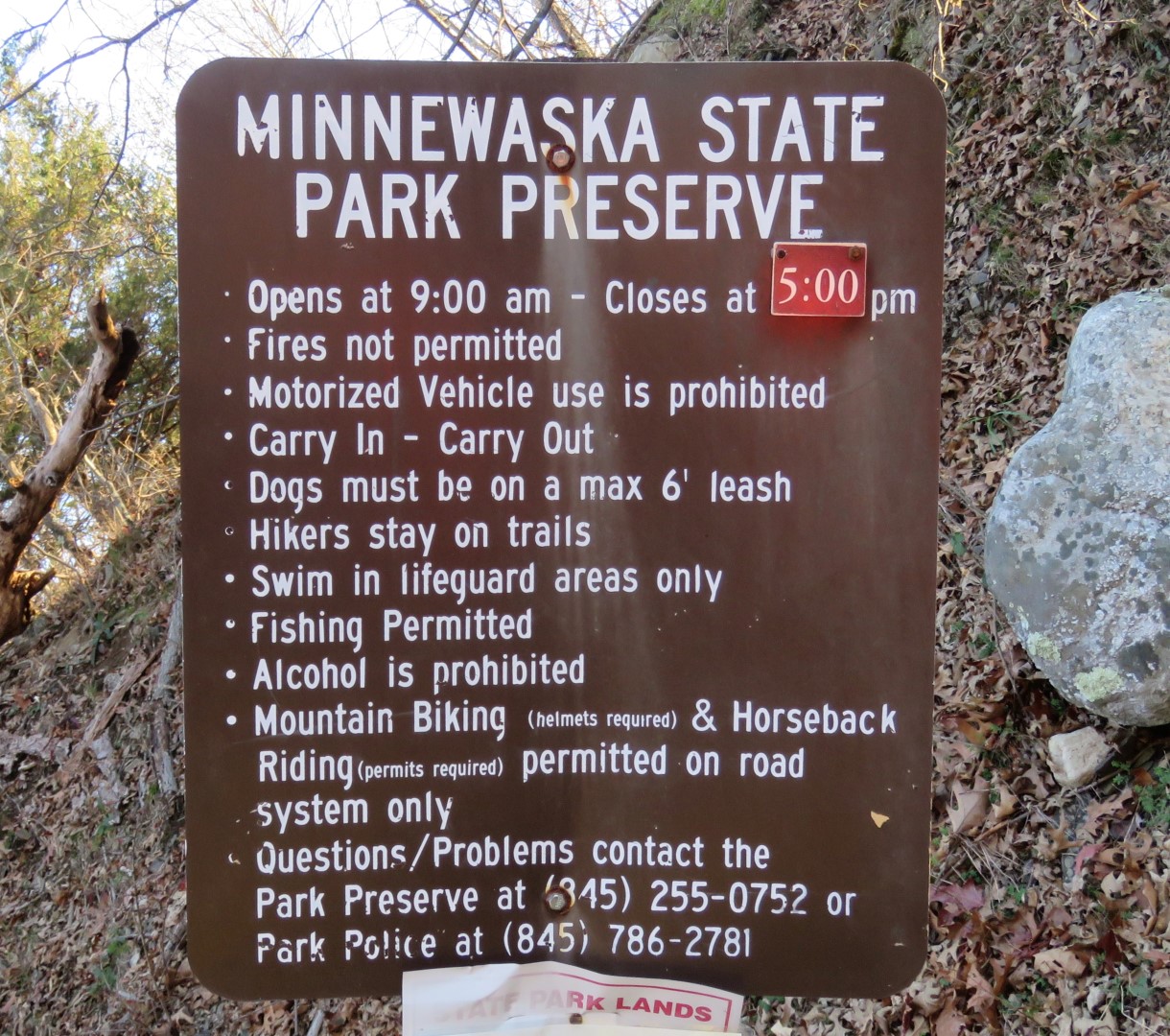
Minnewaska State Park Preserve - New York State Parks
Awosting Preserve - Gardiner Gazette
While there is a $10 fee to enter the park at the main entrance, there is no fee to park at the Awosting Preserve section.
DIRECTIONS:
GPS Coordinates 41.67620, -74.26370
 |
| Awosting Preserve Parking |
TRAIL MAP:
Shawangunk Trails Map 104 - NYNJ Trail Conference
HIKE DISTANCE: 13.8 miles
THE HIKE:
 |
| Starting at the gate in the parking lot. |


 |
| There are sometimes distinct trails that cut off the switchbacks. |

 |
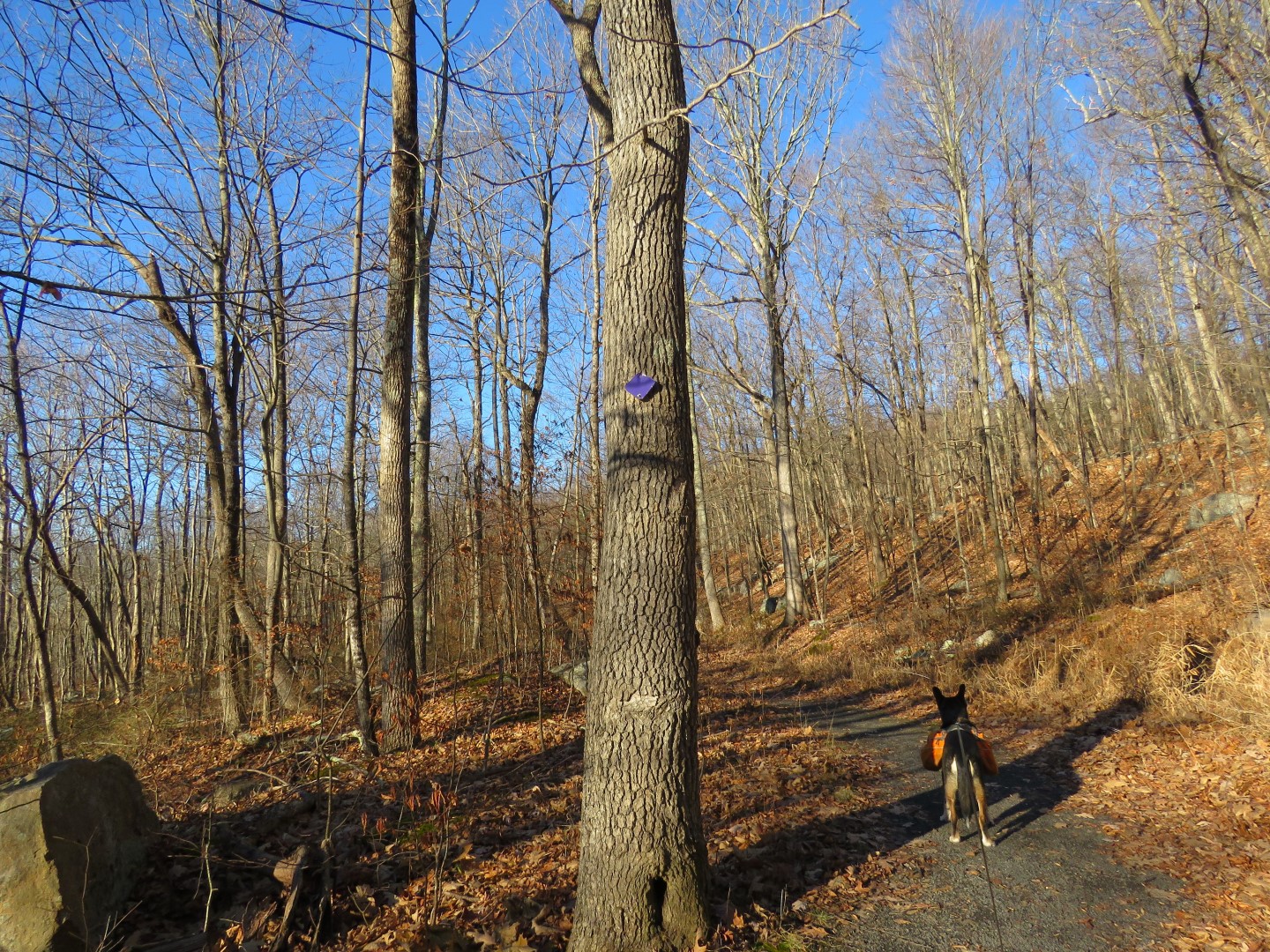
| Turning right at the Y on the purple Awosting Reserve Loop. |


 |
| The ridge on the right would be our destination. |
 |
| Right on an unmarked but easy to follow trail that is not on the map. |

 |
| There are even some logs placed to cross the creek. |
 |
| The only time I had trouble finding the trail was in this shale pit because there are mountain bike trails going every which way. Turns out it's down into the pit keeping to the left then turning left on ... |
 |
| ... a wider woods road that is shown as a partial dashed red line on the map. |
 |
| This intersects with the lilac Scenic Trail and the Shawangunk Ridge Trail where we turned right ... |
 |
| ... rock hopped over a creek then began the rock scramble up. |


 |
| Almost at the top the views start. |
 |
| High Point Monument in New Jersey in the far distance. |
 |
| There were several patches of snow off trail at this higher elevation. It is noticeably colder and much windier up here. |
 |
| Lilac/SRT turns right on ... |
 |
| ... the Hamilton Point Carriage Road ... |
 |
| ... then leaves to the left where it climbs straight up to Carriage Point where we would be later but via the carriage roads. I had come down from Carriage Point on the SRT many years ago and can't say I want to repeat that, at least not with a dog. |
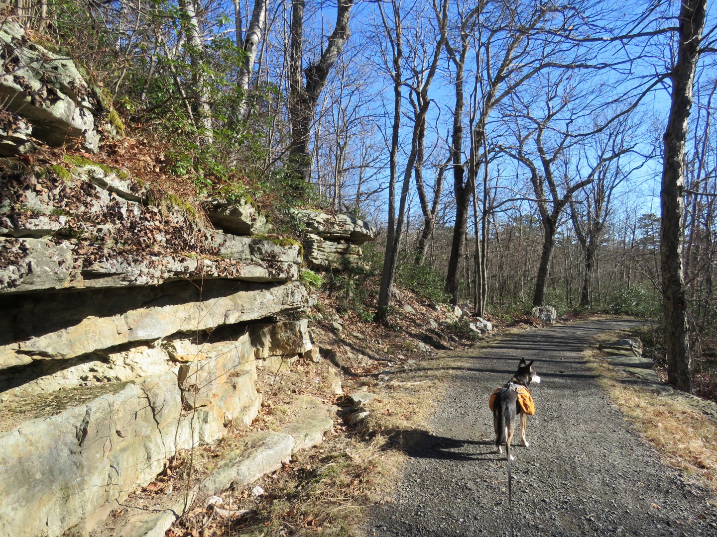 |
| So continuing on the Hamilton Point Carriage Road. |
 |
| Views are abundant. |


 |
| Gertrude's Nose ... |
 |
| ... which is hugely popular and was busy every time I zoomed in along the way. |


 |
| We would be heading back via Castle Point Carriage Road which is up a level to the left. |

 |
| Left on a connector trail ... |

 |
| .. to left on Castle Point Carriage Road. |
 |
| Views are even better from this higher level. |
 |
| Patterson's Pellet across the way, also always a busy place. |


 |
| Coming up on Castle Point where the SRT drops straight down off the cliff. |
 |
| Lake Awosting from Castle Point |
 |
| Continuing on the carriage road... |
 |
| ... to views of the Catskills. |

 |
| A friendly porcupine was munching on pine needles only 10 feet off the trail and could have cared less that I was taking his picture. He was high enough that Brodie did not notice him, thank goodness. |
 |
| The carriage road loops down and around back to ... |
 |
| ... the Hamilton Point intersection where we had started the loop. |
 |
| Now continuing on the carriage road passing by where we had come in from lilac/SRT. |
 |
| I needed to turn left on the Wolf Jaw Trail but I had gone too far. |
 |
| Backtracking back uphill I found it but it but it looked more like a herd path. |
 |
| A short distance in it does open up and you can see the crushed shale surface at times so it seems to be a now defunct old carriage road. |
 |
| But it is nice and quiet with nobody else around and passes very pretty sections. |
 |
| Wolf Jaw |

 |
| Crossing over lilac/SRT ... |
 |
| ... and now retracing on the unmarked footpath... |

 |
| ... to left on the Awosting Reserve Loop. |


I love Minnewaska. I guess we got lucky when we hiked Gertrude's nose. It was during peak fall colors. We saw a handful of people but had the actual cliffs to ourselves. I am super jealous of your porcupine spotting!
ReplyDeleteYou were lucky! I hiked Gertrude's Nose back in October 2012 on a weekday and had it all to myself. Minnewaska is one of my favorite places, too, and what I really like about it is that for as popular as it is, there are back ways in where hardly anyone goes so it's pretty easy to hike in solitude for the most part.
DeleteHi Daniela. Beautiful day for hiking up in NY. Not like your last December hike with the ice and cold. Two questions, which app or map do you follow? I only have the 2019 edition of the NY/NJ paper trail. At what point, approximately, is the right on the unmarked trail that eventually leads to the shale pit? Is there unusual rocks, trees, or something. I believe I saw the trail in June, but it was overgrown. Maybe next year as the sunset gets later before winter ends. Thank you.
ReplyDeleteHa ha, yes it was a much nicer day! Cold and windy up high but no ice and gorgeous. I use the NYNJ TC maps in conjunction with the Gaia app. The Gaia app will sometimes show trails not on the NYNJ TC maps. I have the 2019 edition also and it does not show that unmarked trail, just the partial red dashed line where it comes out on the SRT at the Wolf Jaw Trail. The right turn is at a bend where the Awosting Reserve Loop turns left, the coordinates are 41.69732, -74.27890. If you look on the NYNJ TC map, find the Awosting Reserve Loop and you will see a P in a circle then 1.55 along the trail just above where it says "Awosting Reserve Loop" The unmarked trail is at the bend right in the middle of the P and 1.55. Yes, I hate that it gets dark so soon. Makes it very challenging to plan hikes where I will be out before dark and I don't do dark in the woods :)
DeleteHi, thanks. Okay, I see the circled P and the mile marker and I have the Gaia app already on my phone. The coordinates will come in handy. It will probably be another hike without Abby. The Dr. Blaicher said she is healthy, but does have arthritis in her legs. She does walk slowly and needs more rest as we hike. Twice I hiked in the dark. We just ran out of daylight. I still remember the time we did a loop on the Bearfort Mountain. Around West Pond, the AT, down the State Line, to the Ernest Walter trail. It had rained really hard the day before. I didn't want to climb back down the Bearfort Ridge loop trail, I knew there would be water to cross. Yep, I was right! But now it was pitch black, no light except for my friends headlamp. Heard the water, but slipped on the rocks and one of my legs fell in. Good thing I keep dry socks and shoes in the car. It was awful! Now I have a headlamp too! Many more great hikes to you and Brodie. Christine
DeleteSince you have Gaia, you can click on my track above and save it on your Gaia that way it is there when you go and you can follow my track. And I only say this since I did not get lost so my track is accurate, LOL. Have you tried Adequan injections for her arthritis? I swear it bought Shawnee a few years of hiking that she otherwise would not have had. I tried it with one of my other dogs and it did nothing so I guess it depends on the dog. We also saw a chiropractor in Little Silver and that helped tremendously. Tried acupuncture but that did nothing. Getting old stinks, for all of us.
DeleteGood Morning, thank you for your information. Dr. B. never mentioned the Adequan injection. I do give her liquid Metacam which he approved. So that helps. Also Duralactin daily. I'll try the Gaia instruction above. Christine
ReplyDelete