ABOUT THE PARK:
DIRECTIONS:
GPS Coordinates 41.15693, -74.41457
 |
| Cherry Ridge Road Parking (Note: Cherry Ridge Road starts out paved, then becomes gravel, then very rocky and rutted. A low clearance car might not make it.) |
TRAIL MAP: (formerly North Jersey Trails Map 116)
(shows unmarked trails not on the trail conference map)
HIKE DISTANCE: 13.7 miles
THE HIKE:
 |
| Crossing the parking area to the other side of Cherry Valley Road ... |
 |
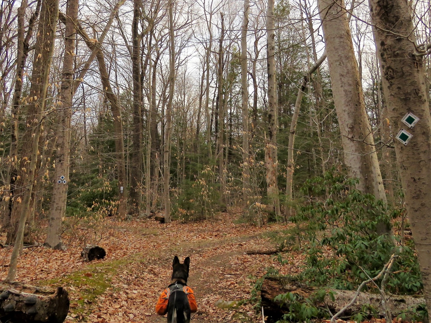
| ... to start on the green Banker Trail. |
 |
| Keeping right on green when the blue Cedar Swamp Trail goes left. That would lead to the same place we will be ending up but I had hiked that trail before so trying to capture some I had not hiked yet. |
 |
| Left on red Plymouth Lane, which isn't a lane at all. |
 |
| Or maybe it was a lane back in the day. And now I know why it is called Plymouth Lane. |
 |
| At the end of Plymouth Lane left on yellow Double Pond. |
 |
| It starts out as a swamp that needs to be navigated through. |
 |
| It dries out eventually. |
 |
| This must be a bear super highway. I had never seen so much bear scat before. This path was literally lined on both sides, I would say a good 2 dozen piles along the way. |
 |
| Turning left on the Red Dot Trail. |
 |
| A rock hop over the outlet of a pond at ... |
 |
| ... Wawayanda Swamp |
 |
| At the end of the Red Dot Trail, right on Cherry Ridge Road. |
 |
| I'd be seeing this bridge from one of the scenic unmarked mountain bike trails at the end of the hike. |
 |
| Right on the yellow Laurel Pond Trail. |
 |
| A view of Laurel Pond from a side trail to the left. On the opposite side of the pond ... |
 |
| ... the falls at the dam where we would be crossing over later. |
 |
| At the end of yellow coming up on the main part of the park, it was busy with dog walkers coming from every which way. |
 |
| We made the first left coming out at Wawayanda Lake, then left ... |
 |
| ... on the orange Wawayanda Lake Loop. |
 |
| Wawayanda Lake |
 |
| I had noticed something in a tree across the lake and zoomed in to find ... |
 |
| ... a nesting bald eagle! Maybe I would get a clearer shot when when I got a little closer. |
 |
| Crossing the dam that we had seen from the other side of Laurel Pond. |
 |
| Got a little better of a shot when we were somewhat closer to the nest but it was obstructed by other branches. This is really zoomed in. We were not close to it at all. |
 |
| Red-bellied Woodpecker |
 |
| Left on the green Timber Trail. |
 |
| At the end of green, left on Cherry Ridge Road for a short distance. |
 |
| We turned right at the first unmarked trail which started out swampy. |
 |
| It dried out ... |
 |
| ... and eventually put us on the white Lookout Trail. |
 |
| Coming up on Lake Lookout, I could see some activity in the water and zoomed in to get some shots. Couldn't tell what the two critters were that kept surfacing and diving. I thought it might be otters ... |
 |
| ... and when I got home and uploaded the pictures and zoomed in, indeed there had been two otters playing in the pond. |
 |
| Lake Lookout |
 |
| Keeping left on white and crossing the dam. |
 |
| After crossing the dam we turned right on the first unmarked path ... |
 |
| ... which heads back to Lake Lookout ... |
 |
| ... and follows along the edge of the lake. |
 |
| Hooded merganser couple. |
 |
| It started snowing. I thought it would just be a few flurries. I was wrong. |
 |
| The unmarked mountain bike trail leaves Lookout Pond and loops to the west. |
 |
| The trail follows along a swamp heading towards Cherry Lake. |
 |
| Snow started coming in fairly heavy squalls. That white in the background is a squall that had just blown over us. |
 |
| By the time we got around to Cherry Lake the squall had cleared out but another was on the way. |
 |
| Crossing this inlet, to the left ... |
 |
| ... that bridge we had crossed earlier on Cherry Ridge Road. This unmarked trail is much more scenic. |
 |
| Continuing on the unmarked trail along Cherry Lake in another snow squall. |
 |
| The trail comes out on Cherry Ridge Road where we turned right. |
 |
| This snow was becoming quite annoying. It was windy and cold and the snow blows right into your eyes. |
 |
| At an intersection veer right through this gate ... |
 |
| ... and back to the parking area. |