ABOUT THE PARK:
Sterling Forest State Park, NY - New York State Parks
DIRECTIONS:
GPS Coordinates 41.293081, -74.142893
TRAIL MAP:
Sterling Forest Trails Map 100 - NY/NJ Trail Conference
HIKE DISTANCE: 9.2 miles
THE HIKE:
The Sapphire Trail was fairly well-trodden so I was worried it might get too crowded for my liking but I only ran into one couple just before the pond on the Warbler Trail and another couple on the Sapphire Trail return route with plenty of space to get well off trail in each case so it turned out to be a fine social distancing hike.
 |
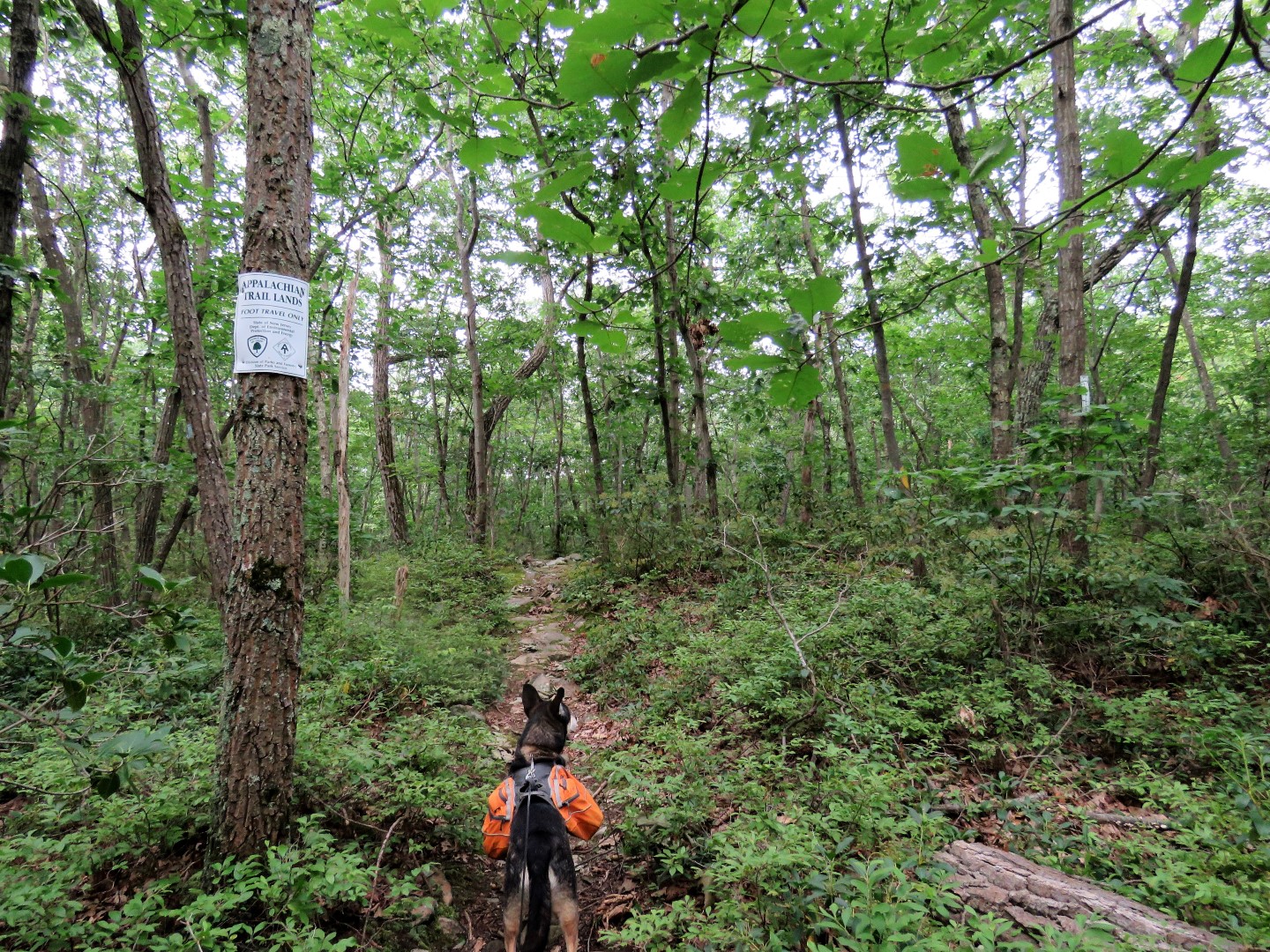
| Starting out from the parking lot on the blue Sapphire Trail. |
 |
| Crossing over an old paved road which would be our return route. |
 |
| Lots of massive stone boundary walls throughout this hike. |
 |
| I normally find it sad to see foliage turning already but after this summer of nonstop humidity, kind of welcoming the arrival of fall. But what is that straight ahead against that tree trunk? |
 |
| Balloon #44 of the year. |
 |
| A few Isaias blowdowns were encountered along the way but we were able to get through/around all of them. |
 |
| Entering the Appalachian Trail corridor but wait ... |
 |
| ... could have sworn I was in New York. |
 |
| The Sapphire Trail ends at the Appalachian Trail ... |
 |
| ... where we turned right. |
 |
| Almost immediately steeply uphill on rock slabs. |
 |
| A little bit of a view from the top. |
 |
| Left on the blue trail. |
 |
| There has already been trail maintenance here so no more Isaias blowdowns the rest of the way. (Thanks!) |
 |
| At the end of the blue trail ... |
 |
| ... right on yellow. We would be returning from the left. |
 |
| Yellow turns right on this woods road but we turned left on ... |
 |
| ... the Warbler Trail. |
 |
| It was right in this area before the pond that I heard a bird frantically blurting out PEEP PEEP PEEP PEEP. I looked up to see the bird fly across the trail about 10 feet ahead of me with a hawk in hot pursuit about a foot from the bird. I immediately yelled "HEY HEY HEY" and there was total silence. Hopefully I startled the hawk and he came to his senses and went in search of some tofu instead. |
 |
| Following along the pond. |
 |
| There is an old dam at the far end. |
 |
| We sat on the dam for a break. No bugs, lovely breeze, perfect spot. |
 |
| We continued on the Warbler Trail to it's end where we turned left on yellow/red. |
 |
| Red leaves to the right; we continued left on yellow. |
 |
| Up a rocky section to ... |
 |
| ... views over to Harriman State Park. |
 |
| Second viewpoint a little farther along. |
 |
| That turn leads into a wide boulevard between two massive stone walls. |
 |
| When yellows goes through this stone wall and turns left ... |
 |
| ... it's right on blue just the other side of that wall to start retracing back. |
 |
| At the end of blue, right on the Appalachian Trail. |
 |
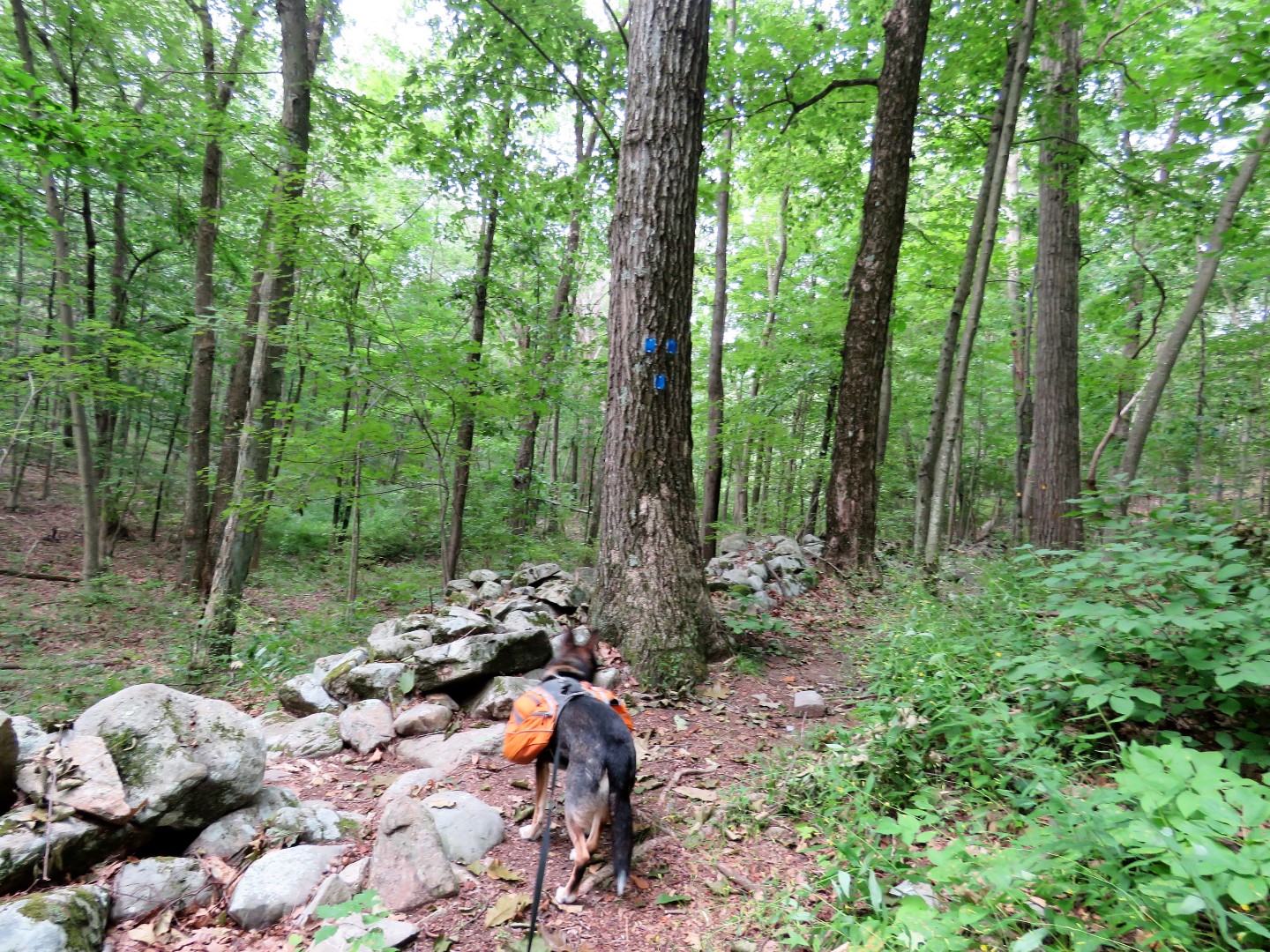
| Left on the blue Sapphire Trail. |
 |
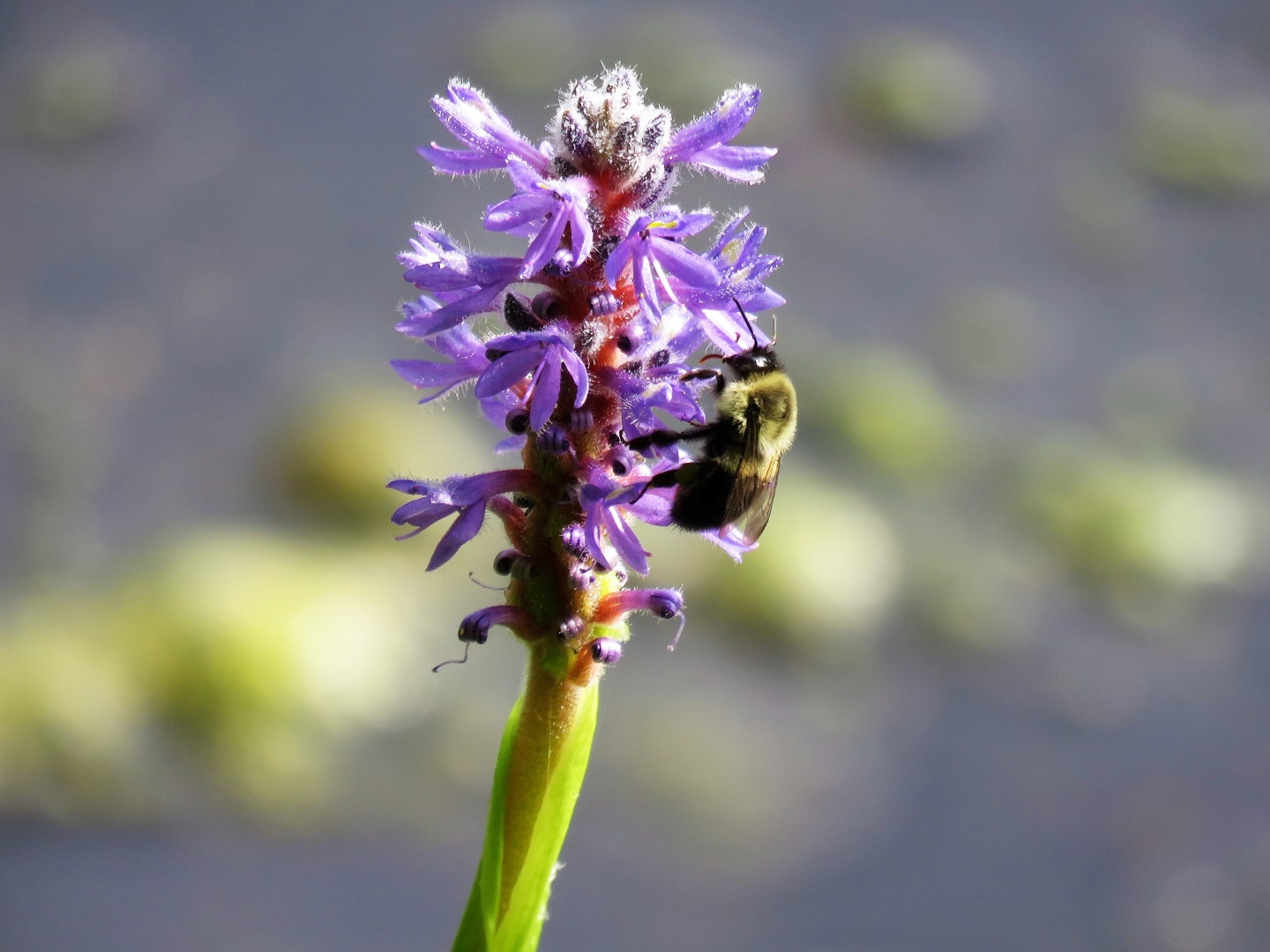
| Thanks to Bill I now know this is a cardinal flower. |
 |
| A whole field of cardinal flowers off in the distance. |
 |
| At the second creek crossing, which was dry at this time, there is a woods road just before crossing to the right although it is pretty hard to make out. |
 |
| This would be it and it looked kind of dicey so as I was standing there contemplating whether to stay on blue to take a chance on this woods road ... |
 |
| ... a Carolina Wren loudly scolded me for being in his turf. |
 |
| But it made for some nice poses while I was contemplating. |
 |
| OK fine, we'll leave and take this woods road just to see how easy it is to follow. |
 |
| Turns out it gets better and although eroded in many places, you can still make out the woods road and follow it. Other than a tree trunk or huge branch to step over here and there, the only blowdown at this time was near the bottom. The main problem was plowing through ancient spiderwebs. |
 |
| Coming up on Route 17 down below. I-87 traffic is loud along this route. |
 |
| Almost at the bottom, a huge Isaias blowdown but it was enough room to get around it on the left. |
 |
| We were headed to the woods road down to the left, the turn coming up at the bottom. |
 |
| Left on the woods road running parallel to Route 17. |
 |
| Crossing a creek with old concrete bridge ruins. |
 |
| After the bridge there are remnants of asphalt visible in the road. |
 |
| And balloon #45 of the year. |
 |
| The road becomes mostly asphalt ... |
 |
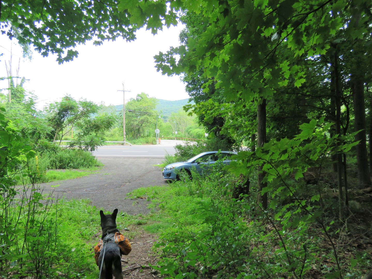
| ... just before the Sapphire Trail crosses over where we turned right ... |
 |
| ... a short distance back to the car. |


No comments:
Post a Comment