ABOUT THE PARK:
Pequannock Watershed - City of Newark
Highlands Trail Guide - NYNJ Trail Conference
PERMIT REQUIRED FOR HIKING IN THE PEQUANNOCK WATERSHED.
See THIS hike for permit details.
DIRECTIONS:
GPS Coordinates 41.084107, -74.410732
 |
| Pull out parking for one car where the Highlands Trail crosses Gould Road. There are closer parking options for Hank's Pond but I wanted to capture a section of Highlands Trail that I had not yet hiked. |
TRAIL MAP:
North Jersey Trails Map 116 - NYNJ Trail Conference
There is a map without elevation contours in the brochure which is given with the permit and car sticker.
HIKE DISTANCE: 10 miles
THE HIKE:
Hard to sit out a perfect weather hiking day so vacation day it was!
 |
| From where the Highlands Trail crosses Gould Road, heading west on Gould Road for a short road walk. |
 |
| Gray Catbird |
 |
| After about a quarter of a mile, a right turn into the woods. |
 |
| The Highlands Trail follows close to Gould Road but always in the woods now. |
 |
| At Union Valley Road, the trail turns right ... |
 |
| ... still in the woods following Union Valley Road. |
 |
| The Highlands Trail turns left crossing VERY BUSY with SPEEDING cars Union Valley Road. We RAN across at the first opportunity. |
 |
| An icky road walk for a short distance along Union Valley Road. There is an alternative but it was not clear until the return trip. |
 |
| The Highlands Trail leaves Union Valley Road up a short but very steep hill. This would also have been avoided using the alternate route. More on that on the return route. |
 |
| Now safely in the woods following Union Valley Road on the opposite side from earlier. |
 |
| Turning left leaving Union Valley Road completely behind. |
 |
| The Highlands Trail switchbacks steeply up to the ridge. |
 |
| Views from the top, probably not seen when the trees are fully bloomed out. |
 |
| A bench for resting after the climb up. Didn't need it now but it came in handy for cleaning rocks out of shoes on the return trip. |
 |
| Kanouse Mountain where we had come from. |
 |
| When the Highlands Trail joined white, we turned right and would be coming back to this point to continue on white a bit later. |
 |
| After a short distance on teal/white combined, the teal Highlands Trail leaves to the left. |
 |
| When the Highlands Trail crossed blue/white, we turned right on the blue/white Hanks West Trail. |
 |
| This stretch is all woods road to where it ends at Stephens Road. |
 |
| A right on Stephens Road to ... |
 |
| ... right on the white-blazed Hanks East Trail. |
 |
| Where Hanks West was easy woods road, Hanks East is all rugged footpath. |
 |
| The Highlands Trail joins in from the right where we had turned earlier. Now continuing straight on white. |
 |
| The Highlands Trail leaves to the left where we had come from before. Keeping straight on white. |
 |
| Watch for this right turn at the white turn blazes on the rock slab to the left of Brodie and the cairn on the right. |
 |
| A blue connector trail to the right which connects over to blue/white Hanks West. While this was shown as a blue-blazed trail on my older 2009 map set, it is shown as an unmarked trail on the 2017 map set. It is, however, still marked and looks clear. It was also blazed and clear at the other end when we passed that way later. I had only run into a party of 3 hiking in this area on Hanks East and again on Hanks West so they probably used this connector to loop around. |
 |
| Keeping straight on white which starts to open up as a woods road ... |
 |
| ... coming up on Hanks Pond. |
 |
| There aren't many good Hanks Pond views on this side but there will be coming up the other side on Hanks West. |
 |
| When white turns left (which leads to parking lot P1) ... |
 |
| ... we turned right on blue to an intersection where a side trail leads to Hanks Pond but at that intersection in a tree right on the corner ... |
 |
| ... a groundhog in the tree? |
 |
| She sat so patiently letting me photograph her. |
 |
| On to a view of Hanks Pond where I had wanted to take a break but there was one person to the right sitting in the only spot in sight so we moved on. (There would be other break spot opportunities.) |
 |
| Coming back out at that intersection the groundhog was on the ground. |
 |
| Where Brodie spotted her and true to form went beserk but I anticipated that and had a death grip on his leash. There will be no nabbing of wildlife on my watch. |
 |
| Just couldn't get over the groundhog. |
 |
| At a man-made spillway (?) a short side trail led to a better break spot. |
 |
| The groundhog is forgotten. |
 |
| Hanks Pond |
 |
| Continuing on, right on blue/white Hanks West. Left is also blue/white but it goes to parking P1N and Fire Tower Ridge Trail. |
 |
| Hanks West follows closely along Hanks Pond with lots of water views. |
 |
| Ruins along the way. |
 |
| American Redstart |
 |
| Chipping Sparrow |
 |
| Where the Highlands Trail crosses over, right on the Highlands Trail to retrace where w had come from earlier. |
 |
| Right on white/Highlands Trail ... |
 |
| ... then leaving white turning left on the Highlands Trail. |
 |
| Descending steeply from the ridge the way we had come up before. |
 |
| Back along Union Valley Road. |
 |
| Now, where the Highlands Trail turns left to that steep descent to Union Valley Road and the road walk, a sign ... |
 |
| Yes! Alternate route it is. |
 |
| I think it is here where you are supposed to turn left and cross but I continued on through the power cut then went through a short section of overgrowth to come out directly across Union Valley Road from where the Highlands Trail enters the woods. |
 |
| After a sprint across Union Valley Road, back to safety on the trail. |
 |
| Coming out on Gould Road ... |
 |
| ... for the short road walk back to where I parked. |
 |
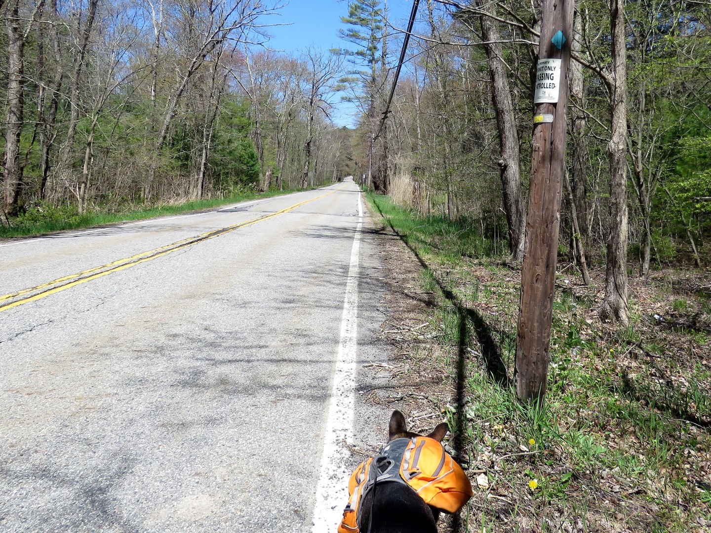
| A vintage watershed trespassing sign. Kenneth A. Gibson was mayor of Newark from 1970 to 1986. That sign must have been hanging for 34+ years. |


Groundhogs do climb trees sometimes!
ReplyDeleteApparently! Mine just likes to burrow under my garage and come into the garage from where he collapsed the floor in the corner. He likes it there so I let him be.
Delete