

ABOUT THE PARK:
Five Rivers Metroparks Taylorsville - Metroparks.org
DIRECTIONS:
GPS Coordinates 39.881401, -84.155940

TRAIL MAP:
Five Rivers Metroparks Taylorsville Trail Map - Metroparks.org
Powered by Wikiloc
HIKE DISTANCE: 5.25 miles
THE HIKE:
 |
| The trail starts at the kiosk. |
 |
| We kept right at the intersection on the orange trail. We'd be taking the yellow trail later. |
 |
| There were people at the rock outcrop so we didn't stop but there would be another opportunity later on |


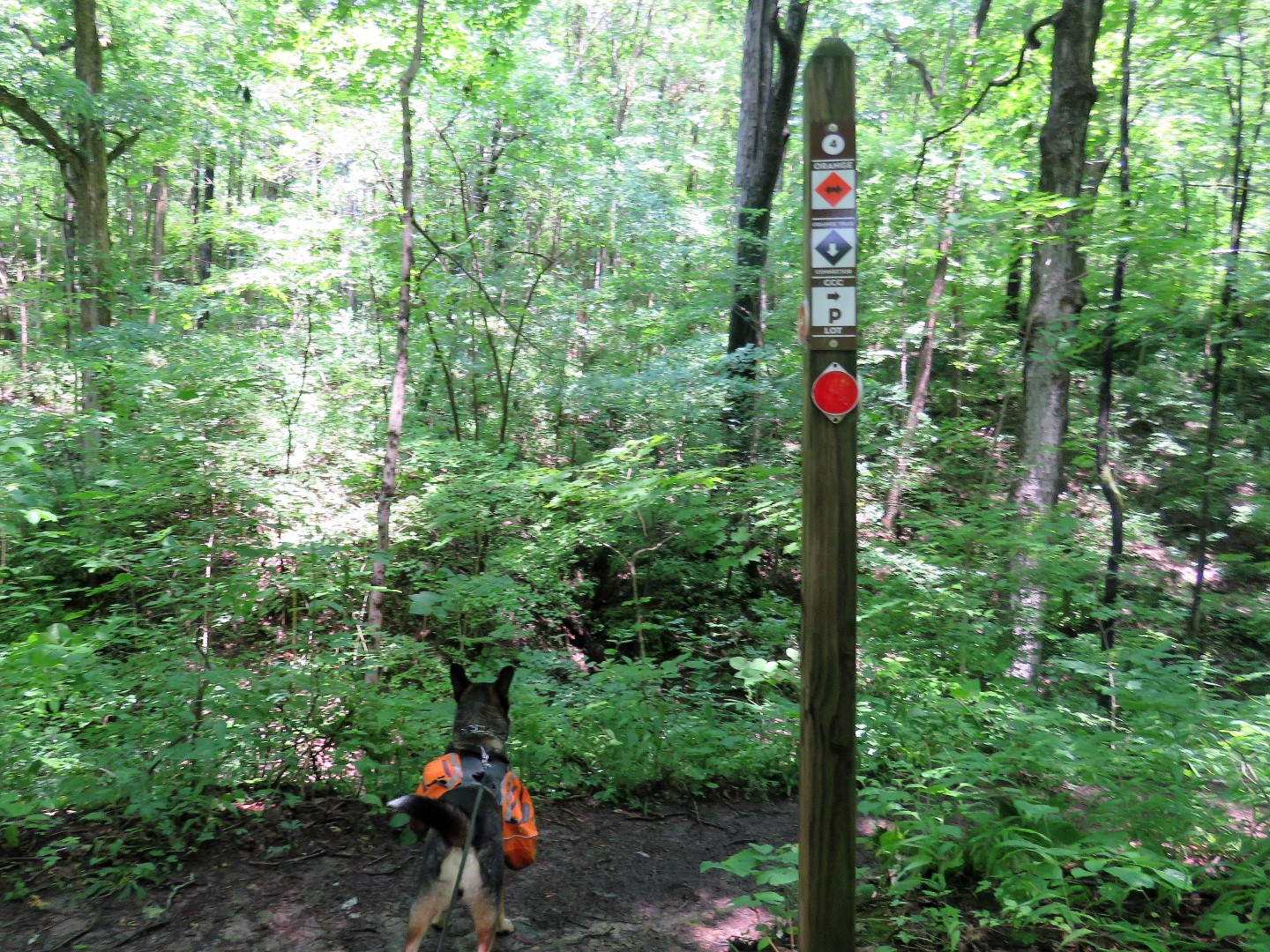 |
| Keeping right on orange. |


 |
| No matter how often I checked, partial cloudy was never in the forecast. No more rain but it was supposed to be solid clouds. Glad they were wrong. |


 |
| An overlook ... |
 |
| ... that is no more. |
 |
| Great Miami River spilling over its banks through the power cut. |

 |
| The trail follows along the Great Miami River. |
 |
| Uh oh. The trail flooded out. Fortunately this is right at a connector trail so we turned left and took that. |
 |
| The connector trail met up with the orange trail that we had come in on so we backtracked and took it around the other way ... |
 |
| ... to where that end was flooded out but it was a good view of the river. |
 |
| Retracing to the rock outcrop. |

 |
| At the intersection we continued right on the yellow trail. |
 |
| The overlook platform on the yellow trail ... |
 |
| ... with a little bit of a view of the Great Miami River. |
 |
| It made a nice dry break spot. |
 |
| Continuing on yellow. |


 |
| Yellow was also flooded out but by looking at the track compared to the map, it should turn left just beyond this point away from the flood waters. Indeed, after bushwhacking a short distance through stinging nettles (OUCH) we met up with ... |
 |
| ... the trail coming out of the flood water so we were able to complete the loop. |


 |
| At the picnic pavilion keeping right leads back to the parking lot. |
 |
| About 6 hours later, our destination. |
I always love getting an email from Gone Hikin' and following your footed adventures and your great pics! Thank you! Cathy
ReplyDeleteThanks so much, Cathy! You should be getting a lot of them this week!
DeleteDaniela