ABOUT THE PARKS:
Lackawanna State Park - Pennsylvania DCNR
Messimer and Ziegler Preserves - Countryside Conservancy
DIRECTIONS:
GPS Coordinates 41.578533, -75.705559
 |
| Parking lot off of Route 438 |
TRAIL MAP:
Lackawanna State Park Trail Map - Pennsylvania DCNR
HIKE DISTANCE: 13.3 miles
THE HIKE:
 |
| From the corner of the parking lot ... |
 |
| ... the Tree Line and Bull Hill trails ... |
 |
| ... start as a mowed path. |
 |
| The Bull Hill Trail leaves the mowed path into the woods. |
 |
| The trails are marked with arrows on disks with name signs at intersections. |
 |
| Impressive stone walls everywhere. |
 |
| Loop trail t the Ziegler Preserve; we went left. |
 |
| The little red efts were out in full force which made hiking difficult trying to avoid stepping on them. |
 |
| At the fork with the map ... |
 |
| I noticed that going left would lead to a parking lot which is not on the online park map. This would considerably shorten a road walk I had anticipated so left we went. |
 |
| Going through the Ziegler parking lot ... |
 |
| ... the right on Route 438 where we only had to go to the signs up ahead. |
 |
| Turn left on Rowlands Drive (which is shown as Cole Road on the map) ... |
 |
| ... and cross the bridge over ... |
 |
| ... South Branch Tunkhannock Creek heading to Lackawana Lake on the right. |
 |
| Then left on the South Branch Trail which starts out along the side of a meadow. |
 |
| Although the trail is not mowed, it was not terribly overgrown. |
 |
| At the far end, left at the sign ... |
 |
| ... to a particularly gorgeous area - my favorite part of the hike. |
 |
| South Branch Tunkhannock Creek |
 |
| Going through an overgrown power cut. |
 |
| After the power cut the trail becomes a woods road higher up above the creek. |
 |
| Entering Messimer Preserve at the Countryside Conservancy boundary marker. |
 |
| The trail ends at Grist Mill Road although the woods road continues on above the creek. We went a little farther but sadly it becomes trashy so we headed back. |
 |
| On the way back we stayed left at this fork, the way we had come. Although there appears to be a trail to the right down to the creek, it seemed there was no way up to the woods road and would have involved a very steep bushwhack. |
 |
| Back through the power cut. |
 |
| Taking a break by the creek. |
 |
| It's my cookie he is after. Brodie LOVES fruit and vegetables and this cookie is loaded - apple, orange, carrots, oats, sunflower seeds, coconut - all fine for him except there are raisins in it also and that is a no no. Sorry, Brodie. |
 |
| He has his own treats so that will have to do. |
 |
| Back out to the meadow. |
 |
| At the end of the South Branch Trail, left on the gravel road a short distance ... |
 |
| ... then right on Bassett Path. |
 |
| We turned right on the Lake Shore Trail which turned out not to be such a good choice. |
 |
| There was a cacophony of kayaks, literally, with incessant loud chatter and laughter. Had I been kayaking with friends I am sure I would have been as loud as they were but it's not conducive to peaceful hiking. |
 |
| Brodie was also quite distracted and annoyed by it. We waited for them to pass only to end up catching back up to the noise. |
 |
| And there weren't as many lake views as I had expected, just a snippet here and there. |
 |
| The woods were gorgeous but we would have been better off taking a trail farther away from the lake. |
 |
| The trail finally veers left along a cove and leaves all of the noise behind. Peace and quite once more. |
 |
| Crossing over Kennedy Creek. |
 |
| What is that over there on the other side of the creek? |
 |
| We had to backtrack across the bridges then bushwhack along the other side of the creek. I parked Brodie and climbed through the blow downs and .... |
 |
| Merry Christmas! I dd not even know there was such a thing as balloons for Christmas so it's a first for my collection, #43 of the year and the first Pennsylvania balloon of the year. |
 |
| We crossed Route 524 and continued on the Bear Paw trail directly across. This trail is not shown on the map. |
 |
| The trails became somewhat confusing in this area and I ended up going differently than I had planned which probably added a mile or two but pretty woods nonetheless and I ended up where I needed to be anyway. |
 |
| Old growth tree |
 |
| Crossing over Route 407 ... |
 |
| ... veering right then left on the South Shore access road. |
 |
| The trail continues into the woods on the right a short distance in. |
 |
| This trail comes right back out on the access road directly across from some picnic tables where we took our next break. |
 |
| Brodie will wake up from a dead sleep and come flying into the kitchen if I so much as pick up a banana. I brought an extra large one along so we could share. I let him have the last bite. |
 |
| Continuing on the Abington Trail from the picnic tables. |
 |
| Right on Frost Hollow then right on Snowflake. |
 |
| Lackawanna Lake from the Snowflake Trail. |
 |
| Back on the Frost Hollow Trail following along a power cut with the roaring of the dam, which cannot be seen, off to the right. |
 |
| The only way to see the dam is from the bridge down below. |
 |
| Left on the gravel road that follows South Branch Tunkhannock Creek at the opposite side of the lake from where we started the hike. |
 |
| Another creek side break spot before ... |
 |
| ... leaving the gravel road to the right on the North Woods Trail. |
 |
| After crossing Route 438 and Route 407 ... |
 |
| Trostle Pond |
 |
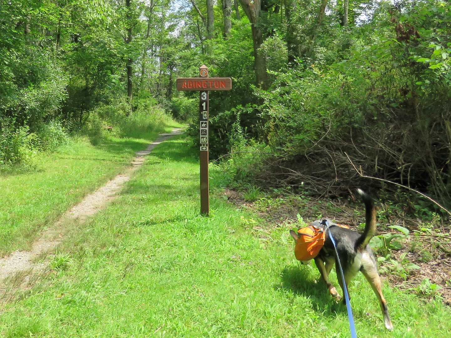
| At the Bull Hill sign ... |
 |
| ... crossing Whites Creek ... |
 |
| ... and keeping left back to the mowed path ... |
 |
| ... back to the car. |
 |
| Must be nice to nap on the 2 hour drive home after 13+ miles of hiking. |