ABOUT THE PARKS:
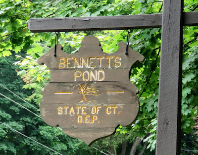
Bennett's Pond State Park - State of Connecticut DEP
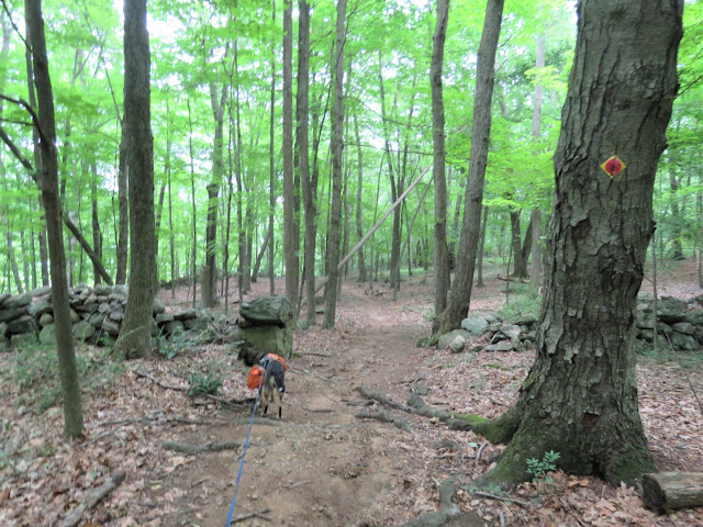
Hemlock Hills - Ridgefield, CT
Ives Trail
Ives Trail Greenway - Western Connecticut Council of Governments
DIRECTIONS:
GPS Coordinates 41.328897, -73.480861
 |
| Bennett's Pond State Park Parking |
TRAIL MAPS:
Bennett's Pond State Park - State of Connecticut DEP
Hemlock Hills - Ridgefield, CT
HIKE DISTANCE: 9.7 miles
THE HIKE:
 |
| The trail to the right of the sign ... |
 |
| ... beyond the large boulder ... |
 |
| ... leads to a kiosk a short distance in and the beginning of the Ives Trail which would be the first 3 miles of this hike. |
 |
| Just from standing in one spot in this open area, I got ... |
 |
| Cardinal |
 |
| Great Crested Flycatcher |
 |
| Yellow-bellied Sapsucker |
 |
| Some partial views along the way. |
 |
| Old asphalt. |
 |
| At Bennett's Pond, the Ives Trail makes a hard left. |
 |
| Great Blue Heron over Bennett's Pond |
 |
| Now following along Bennett's Pond on the right. |
 |
| Bennett's Pond |
 |
| Red-winged Blackbird |
 |
| White joins in with the Ives Trail. |
 |
| A singing Song Sparrow. |
 |
| Bennett's Pond |
 |
| Another Great Crested Flycatcher! (Or maybe the same one following us.) |
 |
| I noted this unmarked trail crossing over the inlet of Bennett's Pond because I was thinking of taking that on my return route. More on that later. |
 |
| For now, onward on the Ives/White Trails |
 |
| Where white ends and the Ives Trail turns right at a T-intersection, we turned left ... |
 |
| ... on red and stayed on that all the way to Lake Windwing. |
 |
| Red descends and turns right on woods road to ... |
 |
| ... Lake Windwing. |
 |
| A short distance farther, right on orange. |
 |
| Orange starts out rugged ... |
 |
| ... but becomes a smooth woods road. |
 |
| Right on white. |
 |
| When white turns right, straight on orange. |
 |
| Blazes are not visible going this way but they are from the opposite direction ... |
 |
| ... to turn right on purple. If you reach the kiosk, turn around to see the purple blazes on the left. |
 |
| Purple climbs to an overlook ... |
 |
| ... but there isn't much to see, at least not in the summer. |
 |
| Continuing on purple which then descends to ... |
 |
| .... a left on white at the T-intersection. |
 |
| Oh, what could that be over to the left? |
 |
| My first Connecticut balloon, #42 of the year. |
 |
| At the end of white, right on yellow. |
 |
| Straight on blue when yellow turns right. |
 |
| At the end of blue, right on red where we were earlier for a short distance, then ... |
 |
| ... left at the arrow pointing towards Bennett's Pond. |
 |
| This is shown as a blue trail on the map but it is mostly unblazed. |
 |
| The only blue marker I saw. |
 |
| The trail comes out on the Ives/White Trail where we turned right and passed the red-blazed trail to the left. |
 |
| Just a short distance ahead, that rock hop I had noted earlier which leads to the other side of Bennett's Pond and an unmarked trail. This trail is not on any of the park maps but it is on the Cairn and Trailforks apps. |
 |
| This trail has more pond views than the other side. Although unmarked it is easy enough to follow. |
 |
| Some geese frolicking in the pond. |
 |
| A swan family in the pond. |
 |
| At the far end of the pond, right at the fork to ... |
 |
| .. a rock hop at the outlet of the pond. I had scouted that out at the beginning of the hike to make sure it was doable so I wouldn't get stuck having to backtrack on a hot and humid day. |
 |
| Where the Ives Trail forks we went left retracing from the beginning of the hike. |
 |
| It was an incredibly hot and humid day. The feel like temp was supposed to be 95 degrees. All I know is that I was soaked with sweat the entire hike and mosquitoes followed waiting for me to sweat off Deep Woods OFF which was happening about as fast as I applied it. We stopped often for long breaks and Brodie actually drank water although not as much as I thought he should. He held up fine though. |
 |
| We left the Ives Trail and took purple on the right figuring it would be less uphill because we just weren't climbing up again in this heat and left would have been up. |
 |
| This was was mostly flat or gradually uphill so definitely the right choice. About here is where I started hearing thunder. A downpour would have actually felt very good. |
 |
| At the end of purple, left on green. |
 |
| Up ahead ... |
 |
| ... the kiosk from the beginning of the hike and to the right ... |
 |
| ... the parking lot. |
 |
| Air conditioning never felt so good. |
 |
| Not even 2 miles away, thunder, lightning, torrential rain. We had made it just in time. |


This is only around 30 minutes from my house. I've never heard of this park. Good swimming opportunities?
ReplyDeleteCan't say firsthand since Brodie does not like going in water but the pond looked kind of skanky to me. It's huge but lots of stuff growing in there and not much of it is open water. It actually looks like it is reverting to swamp. We should do a shuttle sometime to hike another part of the Ives Trail since you are so close. They offer a patch for completing it.
Delete