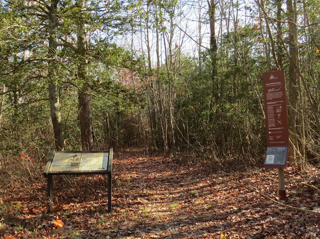
ABOUT THE PARK:
Glades Wildlife Refuge - Natural Lands Trust
DIRECTIONS:
GPS Coordinates for Tat Starr Trail - 39.26500, -75.16577
 |
| There is a parking lot beyond the gate but since the gate was closed I parked off the side of the road where there was ample space. |
TRAIL MAP:
Glades Wildlife Refuge Trail Map - Natural Lands Trust
HIKE DISTANCES:
All hikes combined with short drives from one to the other - 8.4 miles
Bald Eagle Trail - 1.6 miles
Maple Street Trail - 4 miles
Warfle Farm Trail .7 miles
Tat Star Tail - 2.1 miles
THE HIKE:
 |
| She was getting very tired having hiked over 6 miles already. If I had any thoughts about making her sit this one out, that look clearly said "Don't you even think about it." |
 |
| So off we went. This hike was a couple of miles from the others but turned out to be our most favorite one of the day. |
 |
| In the holly forest on a nice December day you could almost imagine it was spring already. |
 |
| The trail is well blazed. |
 |
| A short section of Russell Road. |
 |
| Huge old trees. |
 |
| Leaving Russell Road into the phragmite maze |
 |
| The observation tower 1 mile out at the end of the trail. |
 |
| Not coming up those steps. |
 |
| Flocks of hundreds of birds flew right over. They did not make a sound other than the collective wing flaps which sounded like a huge gust of wind was coming. |
 |
| She found herself a soft spot and made herself comfortable. |
 |
| Can't think of a better place for a snack. |
 |
| Seemed like there were two flocks of different birds that kept coming over. |
 |
| Yes, she is tired. |
 |
| But she perks right back up to finish. |


What a fabulous hike, Shawnee you are in great form!!!
ReplyDeleteNuk & Family
Thank you!
DeleteDaniela and Shawnee
Looks like a great place to hike. Shawnee looks great! such a trooper. God bless her. Thanks for sharing. Joanne
ReplyDeleteIs this trail open to public, see the gate closed, not wishing to trespass.
ReplyDeleteIt was open when I hiked it. You can contact Natural Lands Trust to confirm as it is their trail.
Delete