ABOUT THE PARK: Smith Mountain Lake State Park - Virginia Department of Conservation and Recreation
DIRECTIONS:
GPS Coordinates 37.081694, -79.608133
View Larger Map
 |
| Third parking lot on Interpretive Trail. |
TRAIL MAP: Smith Mountain Lake State Park Trail Guide - Virginia State Parks
HIKE DISTANCE: 8 miles with 4.5 mile option
THE HIKE:
 |
| From the parking lot, cross the road and start on the red-blazed Chestnut Ridge Trail. |
 |
| Tobacco barn ruins along the trail. |
 |
| I don't think this is the Osprey nest with the web cam (don't see the camera) but it's somebody's nest. |
 |
| Lake view from the Chestnut Ridge Trail. |
 |
| Mountain laurel in bloom along the trail. |
 |
| View from the Beaver Den Trail |
 |
| Tobacco Run Trail view. |
 |
| Tobacco barn where trail crosses over paved Interpretive Trail. |
 |
| A mallard couple swimming in the lake. |
 |
| An owl (?) in the wood duck nest. |
 |
| Turtle Island |
 |
| Bridge to Turtle Island. A short trail loops around the island. |
 |
| Looking back at Turtle Island from the Striper Cove Trail. |
 |
| Up to this point I had come across SEVEN turtles on the trails - more than I have seen on all other hikes combined! |
 |
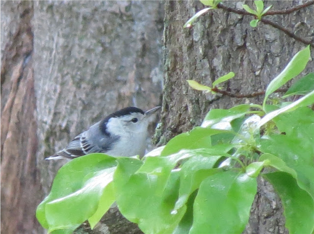
| A White-breasted Nuthatch |
HIKE SUMMARY:
[0.00] From parking lot cross street on crosswalk to red-blazed Chestnut Ridge Trail
[0.05] Left at first intersection then few steps later veer right staying on re-blazed Chestnut Ridge Trail when white-blazed Buck Run Trail goes left
[0.25] Tobacco barn ruins on right
[0.30] Keep straight at intersection
[0.60] Left at fork to loop around
[0.90] Keep straight at completion of loop
[1.15] Keep left at fork
[1.40] Tobacco barn from earlier visible through trees on right
[1.55] Turn left on Beaver Den Trail (unblazed); at fork near water, keep right uphill then at paved road turn left and walk along guardrail
[1.85] At end of guardrail, trail turns left uphill into the woods
[1.95] Come out at paved road again, turn left and walk along road
[2.05] Leave road turning left on blue-blazed Tobacco Run Trail
[2.20] Turn left at intersection
[2.25] Bench at end of trail; retrace
[2.30] Keep straight on blue
[2.40] Cross road to tobacco barn; turn left just the other side of the barn to continue
[2.50] Pavilion at end with bench and lake view; retrace
[2.60] Left on blue-blazed trail
[2.70] Keep straight beyond tobacco barn, descend to deck and down steps
[2.80] Straight on light blue-blazed Opossum Trot trail to left of guardrail
[3.05] Left at fork
[3.20] Left on green-blazed Turtle Island Trail
[3.25] Side trail on left to bench loops around and joins back up with green-blazed Turtle Island Trail
[3.70] At 3-way fork, keep straight on center trail towards bridge to Turtle Island
[3.75] Cross bridge, circle around Turtle Island, return to bridge, cross and turn left at intersection to continue on the green trail
[4.20] At intersection turn left on gold-blazed Striper Cove Trail or keep straight on green back to parking lot for 4.5 mile hike
[4.80] Gold trail skirts parking lot (not the parking lot for this hike)
[4.85] Cross bridge then shortly thereafter another bridge
[5.00] Side trail to bench on left just before gold trail veers right
[6.25] At T-intersection turn right on white-blazed Buck Run Trail when the gold-blazed Stiper Cove Trail goes left
[6.35] Keep straight on white Buck Run Trail when orange Turkey Foot Trail goes left; cross paved road at crosswalk, continue on Buck Run Trail through parking lot
[6.55] Turn right on white trail at T-intersection, left goes to campground
[7.25] Cross bridge
[7.90] Right on red-blazed Chestnut Ridge Trail then after a few steps, turn right leaving red trail back to parking lot
[8.00] Cross road to parking lot


No comments:
Post a Comment