
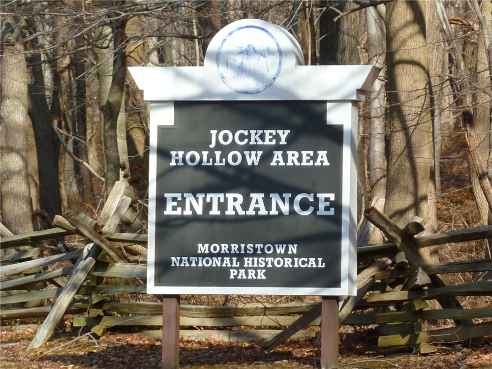
ABOUT THE PARK:
Morristown National Historical Park - National Park Service
DIRECTIONS:
GPS Coordinates 40.772242, -74.527680
View Larger Map
 |
| In the winter the restroom in this lot is closed but the one in the visitor center is open. The trail starts to the left of the restroom building. |
TRAIL MAPS:
Morristown National Historical Park/Jockey Hollow Area - National Park Service
HIKE DISTANCE: 9.1 miles
PEAK BAGGING:
Mount Kemble - Peakery.com
THE HIKE:
 |
| A pond and bench along the combined blue/white trail. |
 |
| The white-blazed Grand Loop Trail. |
 |
| The Patriots Path joins in from Lewis Morris Park. |
 |
| Reconstructed Revolutionary War soldier huts. |
 |
| Along the Aqueduct Trail |
 |
| A cold day on the Aqueduct Trail. |
 |
| Wick Farm |
 |
| Wick Farm Garden |
 |
| Hut behind Wick Farm where hiking trails are accessed. |
 |
| Along the Primrose Brook Trail |
 |
| Blue-blazed Old Camp Road/Patriots Path |
 |
| Views from the blue-blazed Mount Kemble Loop Trail |
HIKE SUMMARY:
[ 0.00] Start on blue-blazed NY Brigade Trail at kiosk next to restroom building
[ 0.30] Turn left on blue/white when white comes in from the right; pond on right
[ 0.40] Turn left on the white-blazed Grand Loop Trail when blue goes right
[ 0.85] Cross over paved Jockey Hollow Road staying on white
[ 0.95] Keep right on white when unmarked trail goes left to soldiers huts
[ 1.75] Cross paved Sugarloaf Road
[ 1.80] Keep left on white/Patriots Path when Patriots Path comes in from left
[ 2.00] Turn left on Patriots Path towards soldiers huts when white goes straight
[ 2.10] Cross parking lot then turn left up path to soldiers huts
[ 2.30] At the single soldiers hut to the right up the hill, turn right on yellow; at sign post 41 keep right on yellow; keep right on yellow at next intersection when left goes to the Grand Loop Trail
[ 2.45] At T-intersection turn right on the yellow-blazed Grand Parade Trail
[ 2.90] At parking lot keep right on yellow towards the Aqueduct Trail; at the Aqueduct information board keep right across bridge when yellow goes left; keep right at fork when Aqueduct Stop B goes left; at fork at sign post #54 keep right and cross foot bridge straight ahead when green/Patriots Path comes in from larger bridge on the left
[ 3.15] At fork keep left when Patriots Path goes right up steps; Aqueduct Trail is unblazed but is well-defined and easy to follow
[ 3.30] At Aqueduct Stop N keep right on foot path when woods road is to the left
[ 3.40] After crossing foot bridge, trail makes sharp left turn and follows bank of creek; cross several more foot bridges and boardwalks
[ 3.75] At end of trail at stone well (?) turn left, cross bridge, proceed up to intersection at clearing and turn around to see three trails converge - the far right is the Aqueduct Trail you just came off of, take the far left trail that says "To Grand Loop Trail .1 mile"
[ 3.80] Cross over paved Sugarloaf Road
[ 3.85] Turn left on white-blazed Grand Loop Trail
[ 4.25] Turn left at sign towards park office when the white Grand Loop Trail continues straight towards the New Jersey Brigade
[ 4.30] Cross wide bridge, paved road, wide bridge and continue on unmarked horse trail
[ 4.60] Cross through Visitor Center parking lot, walk around Visitor Center and follow red paved path towards Wick Farm; continue through Wick Farm past barn towards old hut
[ 5.05] Turn right on yellow-blazed trail at old hut
[ 5.20] Keep right on yellow when unmarked goes left
[ 5.30] Keep left on yellow Grand Parade Trail when right goes to Jockey Hollow Road
[ 5.70] When the yellow trail comes up on paved Jockey Hollow Road at a trail intersection, turn right and cross over Jockey Hollow Road to the red-blazed Primrose Brook Trail slightly to the left before the bridge
[ 5.90] Turn right for "Long Loop" when "Short Loop" goes left
[ 6.25] Straight on red when white/Patriots Path cross over
[ 6.50] Straight on red when white crosses over; rock up over creek - a few steps later there is another rock hop back to the other side but the rocks were too far under the water - if you keep straight along the left bank, you can pick up the trail when crosses back over again a short distance ahead
[ 6.85] Turn right on paved Jockey Hollow Road a short distance then right on the blue-blazed Old Camp Road Trail/Patriots Path
[ 7.15] Keep straight on blue when the white-blazed Grand Loop Trail comes in from left; cross bridge, white-blazed trail leaves to the right
[ 7.45] Keep left on blue trail just before a yellow house (trail now called Mount Kemble Loop Trail)
[ 7.55] Keep right on blue as unmarked goes straight
[ 7.80] Keep left on blue when unmarked goes right
[ 8.00] View to right at open field at Stark's Brigade
[ 8.20] Straight at black metal gate when unmarked crosses over
[ 8.35] Turn left through black metal gate to stay on blue-blazed Mount Kimble Loop Trail as unmarked goes straight
[ 8.50] Stay right on blue when unmarked goes left
[ 8.60] Stay left on blue when unmarked comes in from right
[ 8.70] Left on blue/white when white goes right
[ 8.75] Pond and bench on left
[ 8.80] Right on blue towards NY Brigade Parking Lot when white goes left
[ 9.10] Back at parking lot
We spent around 1/2 hour comparing your hike description with the map. The trails were actually very well blazed, but I think the park service map could use more detail. We did manage to take a wrong turn somewhere in the middle and missed Wick Farm, but it is hard to get too lost due to so many of the trail intersections having maps! This was an easy hike, with the ability to make shorter or longer options. The trails were virtually snow free!
ReplyDeletehttp://agiletrekker.blogspot.com/2014/03/morristown-national-historical-park-nj.html