Sunday, March 1, 2020

Wharton State Forest, NJ - Batona Trail from Route 679 to Mile Marker 13


ABOUT THE PARK:
Wharton State Forest - NJ Department of Environmental Protection
Batona Trail Brochure -  NJ Department of Environmental Protection

DIRECTIONS:
GPS Coordinates  39.674160, -74.529419
Pull out parking where the Batona Trail crosses Route 679.

TRAIL MAP:
Batona Trail Brochure -  NJ Department of Environmental Protection
Powered by Wikiloc

HIKE DISTANCE:  8 miles (4 miles each way) for only the Batona Trail but with side trips, our hike was 10.5 miles

THE HIKE:
This is my final section to complete the Batona Trail.  It's a 53.5 mile trail that took me 10 years and 122.9 miles to complete.  That would be because I only hiked it in the winter and would incorporate other trails to make loops when possible.  Here is a full list of the day hike sections from north to south (I hiked them randomly, not in order.)
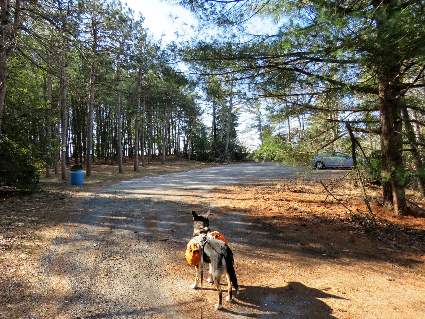
Heading north where the Batona Trail crosses Route 679.
Mile marker 9 a few steps in on the trail.  We were headed to mile marker 13.
This immediately goes through a scenic swamp on a raised berm.
Coming out on Route 563 where the Batona Trail turns left for a short road walk.
Evans Bridge has a dedicated pedestrian section.
Just after Evans Bridge we turned left on a woods road leaving the Batona Trail.  This leads through a pretty area to ...
... the bank of West Branch Wading River that we had just crossed on the Evans Bridge.
The woods road abruptly ends where the river horseshoe bends to the right.
There is another road to the left which just loops around to retrace the way we had come.
Back on the road walk where the Batona Trail crosses over and enters the woods just up ahead.
Starting out as a footpath.
The trail crosses a few sand road.
The trail starts to widen and becomes a sand road.
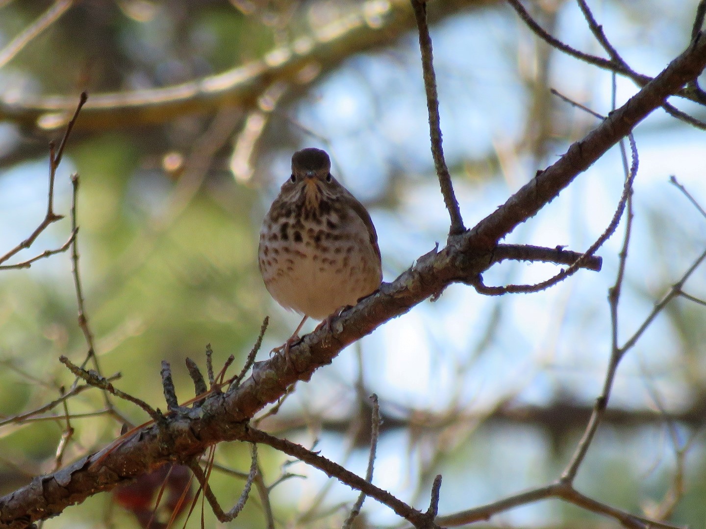
Hermit Thrush
A pretty little pond on the right.
Mile marker 13 is actually a very short distance after this bridge.
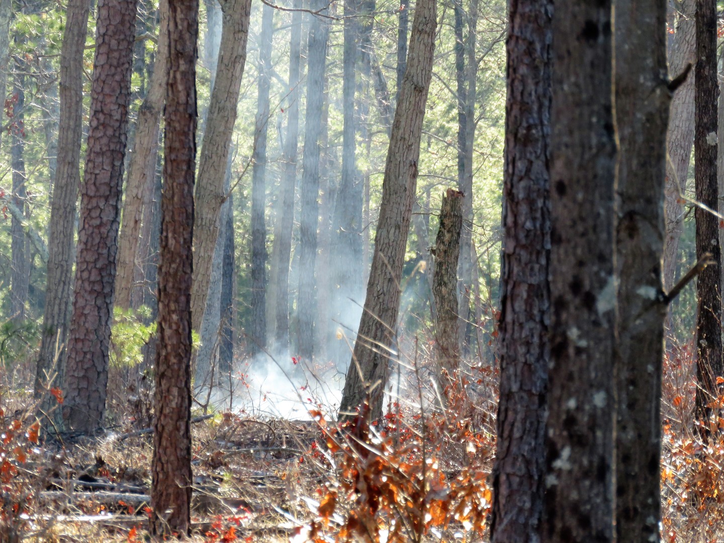
But with becoming distracted by something off to the right ...
... which would be balloon #14 of the year and the sun in my eyes, I completely overshot mile marker 13 and had to retrace.
And here we are.  No bells, no whistles, but the honor of being listed on South Jersey Trail's Batona Trail End-to-Enders Log.
A celebratory snack....
... and break at mile marker 13.
Heading back.
Just before Evans Bridge ...
... a side trip down to the river.  There was a neat orange glow that I wanted to capture in the picture.  Did Brodie really have to stick his tongue out?
Some recent beaver activity.
Crossing back over Evans Bridge.
At mile marker 9, Route 679 just up ahead.

Brendan Byrne State Forest, NJ - Batona Trail Route 70 to Park Office


ABOUT THE PARK: 
Brendan T. Byrne State Forest - NJ Department of Environmental Protection

DIRECTIONS:
GPS Coordinates 39.892681, -74.581814
Parking at a small picnic area just off of Route 72.

TRAIL MAP:
Brendan T. Byrne State Forest Trail Map - NJ Division of Parks and Forests
Powered by Wikiloc

HIKE DISTANCE:  3 miles

THE HIKE:
Three years ago when Shawnee and I hiked the Batona Trail from the northern terminus to Route 70 I missed a 1-mile section from Route 70 to the park office because I did not want to cross VERY busy Route 70 with Shawnee in her wheelchair.  I figured I'd capture that mile another time.  On my way to finish up my last section to complete the Batona Trail in Wharton State Forest, I stopped to get this missing mile in and made a 3-mile loop out of it.
A right on Headquarters Road from the picnic parking to where the Batona Trail crosses over in just a few steps.  We turned left on the Batona Trail and would be returning from the right.
Way off to the left I saw it, balloon #13 of the year.  It had been there a very long time since the print was all faded out.  It is there no more.
Crossing over the Southside Fire Lane where we would be returning in a minute.
At Route 70 connecting up to where Shawnee and I were almost 3 years ago on the other side.
Now back to the Southside Fire Lane where we turned left.
There has been a lot of controlled burning going on in South Jersey so I figured that is what this was.
Still some smoldering smoke in the distance.
We turned right on Four Mile Road ...
... then at the next sand road crossing, right on Deerhill Road.
There I found an explanation of what was taking place with the burning.
I don't know if this same forest truck passed us three times or if there were three different trucks.  They all look the same.
Left on Shinns Road which goes past where all of those forest trucks go on the left.
Thinking this might be a very big coyote print.  Figured it wasn't a dog since no human prints were around.
Continuing on to the park office.
With the park office on the left ....
... directly across on the right, access to the Batona Trail.
At this sign we turned right connecting to the Pakim Pond section to the left that Shawnee and I completed almost 5 years ago.
Where the Batona Trail turns right on the sand road, we went straight briefly to ...
... the Lebanon Fire Tower.  It's open and can be climbed but just looking at those spindly steps made me weak in the knees so no thanks.  There is actually a trail right to where we parked from the fire tower but we retraced to capture the last little bit of the Batona Trail.
From the fire tower, left on the sand road part of the Batona Trail ...
... then left on the next sand road back to where we parked.
Now on to finish up our last section of the Batona Trail about a half hour drive away.