

ABOUT THE PARK:
Lake Hopatcong Trail - Lake Hopatcong Foundation
DIRECTIONS:
GPS Coordinates 40.965027, -74.622938
 |
| Parking at the basketball court at Prospect Point Preserve. I was not sure which way to park - head in seemed like the back of my car was sicking out in the road. But when I returned cars were parallel parked like mine, parked head in at an angle and straight in so I suppose any which way works. |
TRAIL MAP:
Lake Hopatcong Trail Trail Map - Lake Hopatcong Foundation
Powered by Wikiloc
HIKE DISTANCE: 9 miles
THE HIKE:
 |
| Start out by crossing the basketball court and entering the woods in the opening to the right of the picnic table. |
 |
| Just inside the opening, a kiosk and ... |
 |
| .... the gravel James Leach Boardwalk Trail. Where is the boardwalk, you say? Sit tight a sec. |
 |
| I had loaded Dan and Laura Balogh's track on to my phone from when they hiked here in January 2019. I followed their track off of the gravel trail onto a dirt trail. |
 |
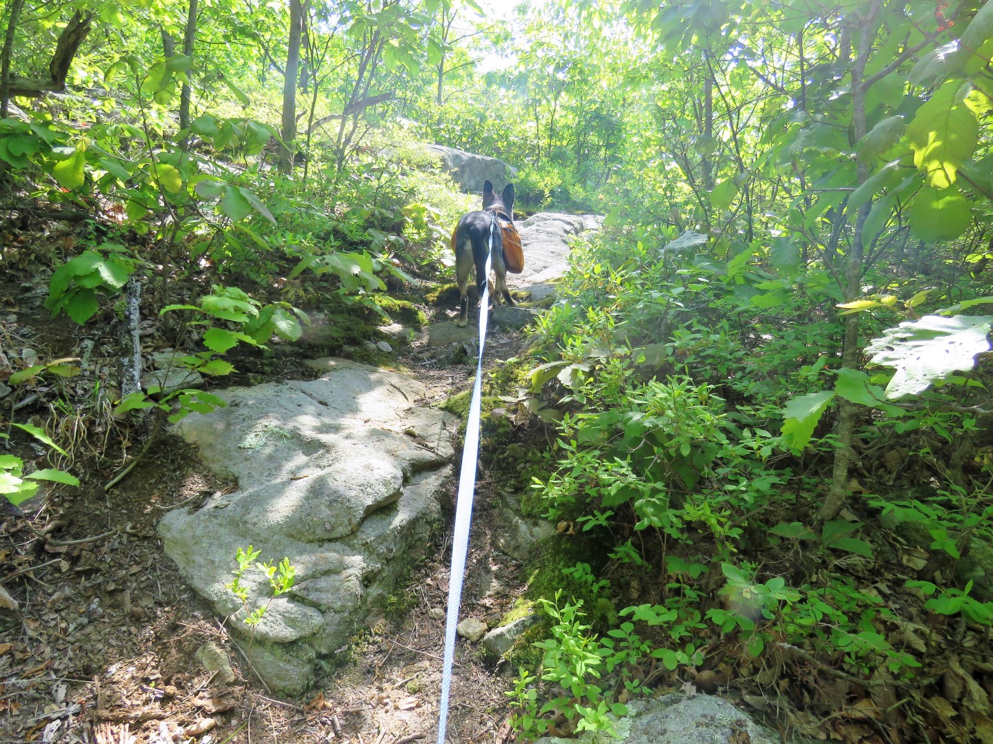
| It's mostly clear although it becomes a little overgrown in spots this time of year. |
 |
| It comes out at ... |
 |
| ... views of Lake Hopatcong. |

 |
| Instead of heading back, we continued following a path along Lake Hopatcong. |
 |
| I only had time for one shot so it's a horrible out of focus picture but a bald eagle flew over the lake ... |
 |
| ... followed by a great blue heron. |
 |
| More views of Lake Hopatcong along the way. |
 |
| My track is red, Dan and Laura's is blue. As you can see I strayed far away and the trail we were on fizzled out but the gravel trail was so close so we ... |
 |
| ... bushwhacked to the left until ... |
 |
| ... we were back on the gravel trail. |
 |
| Ta da! The boardwalk, which apparently was finished very recently. It did not exist when Dan and Laura where here in January. They were able to cross over to Liffy Island on the rocks that are exposed once every 5 years when the lake is drained. I had not expected to be able to access the island since that window of opportunity had passed. But to my surprise, now you can get to Liffy Island any time! |
 |
| Brand new boardwalk to Liffy Island. |
 |
| Spotted Sandpipers on rocks in the lake. |
 |
| Lake Hopatcong to the left and ... |
 |
| ... a red-winged blackbird in the marsh to the right. |
 |
| There is a pretty well-defined path keeping left to circle around Liffy Island. |
 |
| At the very far end of the island the path veers left to ... |
 |
| ... views of Lake Hopatcong. |

 |
| The bald eagle flew over again but I wasn't able to get a picture fast enough. |
 |
| Heading back I tried to continue the loop like Dan and Laura had done but as you can see, I had a hard time finding the path they took. I eventually did come across a path but it was different than their route. |
 |
| I wonder if he knows he can get off the island now. |
 |
| The trail we ended up on did loop back around to the boardwalk. |

 |
| Coming off of the boardwalk we turned right hoping to come out on Prospect Point Road to get to the Highlands Trail/Lake Hopatcong Trail but it looked like we were gong into somebody's driveway. There were no signs until I turned around ... |
 |
| Not sure if that means we should have have walked through or not or if that is just intended for cars. |
 |
| That dirt road did put us on residential roads and keeping left brought us to ... |
 |
| ... the road walk portion of the teal diamond-blazed Highlands Trail on Prospect Point Road. |
 |
| A little farther along on Prospect Point Road, a kiosk on the left. This should be where the Lake Hopatcong Trail will eventually continue. My hope was to return this way later on. Stay tuned for that. |
 |
| For now we crossed Prospect Point Road to the other side from where the kiosk is at the Highlands Trail turn blazes. |
 |
| This leads through a pull out parking area and ... |
 |
| ... to what is currently the end of the Lake Hopatcong Trail. The Lake Hopatcong Trail and Highlands Trail run together through this stretch. |

 |
| Sometimes the trail is woods road ... |
 |
| ... sometimes rocky ... |
 |
| ... other times a footpath. |


 |
| Benches for a break. Yes, please! |


 |
| Continuing on. |


 |
| It looks as though the trail passes an overlook - in the winter maybe but not with leaves on the trees. |
 |
| This spur trail that leads to the Roland May Eves Mountain Inlet Sanctuary was our turn around point. Shawnee and I had hiked from the Roland May Eves Mountain Inlet Sanctuary out to the Hopatcong Natural Area Preserve back in 2012. That was before the Lake Hopatcong Trail existed. We hiked the other end of the Lake Hopatcong Trail to the Hopatcong Natural Area Preserve earlier this year. |
 |
| Heading back. |
 |
| The Highlands Trail used to follow the dashed line but has now been rerouted from this point all the way out to Prospect Point Road. |


 |
| Coming back up on Prospect Point Road. |
 |
| Crossing Prospect Point Road to the kiosk. |
 |
| It is already signed as the James Leach Boardwalk Trail but I think that is a placeholder for what is yet to come with the future continuation of the Lake Hopatcong Trail. As it stands now ... |
 |
| ... there is somewhat of a path that is sometimes hard to follow and leads to ... |
 |
| ... a swamp. I could see the continuation of a woods road at the far side and knew that is where I needed to be. What the heck, I had been meaning to give Brodie a bath anyway. |
 |
| It was slimy and stinky and up to my knees at times. |
 |
| My shoes will be getting a bath, too. |
 |
| Indeed, once through the swamp, a very distinct woods road all the way to the gravel path. |
 |
| Dan and Laura had taken a right here at the fork onto a dirt path. I'll take a dirt path over a gravel path any day so right turn for us! |
 |
| This path loops around and meets back up with the gravel path ... |
 |
| ... back to the basketball court ... |
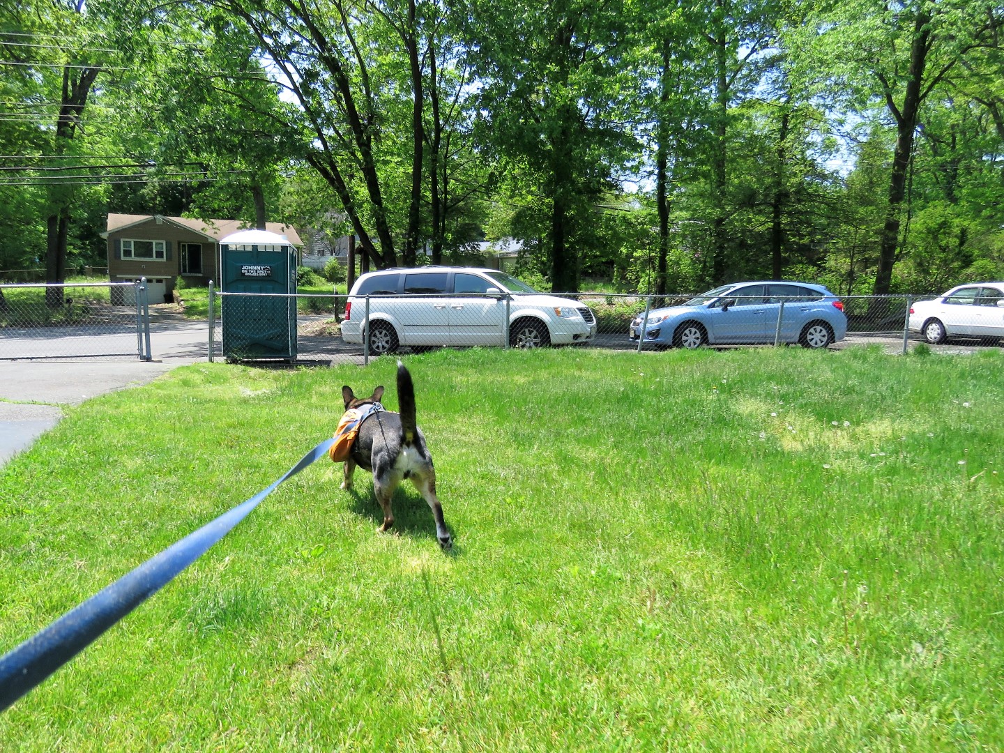 |
| ... and where we parked. |
 |
| Back at home freshly bathed and showing the litter from Liffy Island that he packed out in his backpack. |


