ABOUT THE PARK:
Wharton State Forest - NJ Department of Environmental Protection
Batona Trail Brochure - NJ Department of Environmental Protection
DIRECTIONS:
GPS Coordinates 39.777377, -74.632504
 |
| Parking off of Carranza Road just before Carranza Memorial |
TRAIL MAP:
Batona Trail Brochure - NJ Department of Environmental Protection
HIKE DISTANCE: 13 miles (6.5 miles each way)
THE HIKE:
 |
| Heading towards the Carranza Memorial from the parking area. |
 |
| Carranza Memorial |
 |
| From facing the Carranza Memorial we had to turn around, head to Carranza Road and turn right to find where the Batona Trail crosses over. There were three other cars parked at 8 AM already but fortunately all of those footprints turned left on the Batona Trail heading towards Apple Pie Hill. |
 |
| It was quite pretty in the snow and since this section of the Batona Trail doesn't really have anything interesting other than pine tree after pine tree, I figured the snow would make it more interesting. |
 |
| Crossing abandoned railroad tracks. |
 |
| No trains have used this track in a while. |
 |
| It was hard to take pictures and keep the camera dry but I tried to capture the mile markers... |
 |
| ... and animal tracks. There went a rabbit before us. |
 |
| Fortunately the two wet sections had bypasses. |
 |
| Mouse tracks. |
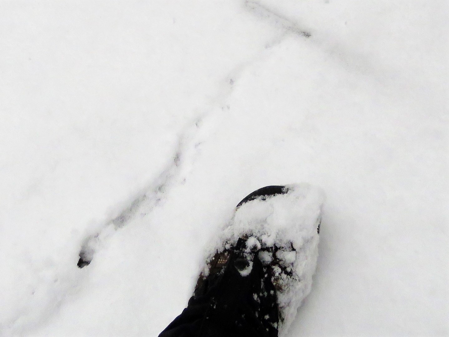
 |
| At the time these looked like they might be bobcat - hard to tell with snow coming down and obliterating the tracks. |
 |
| These looked like coyote tracks and they came up Hay Road from the left and continued as far as I could see up Hay Road to the right. |
 |
| At the intersection with the trail to the Lower Forge Wilderness Camp ... |
 |
| ... one set of footprints came from the camping area, stopped at the Batona Trail sign, then continued on. He must have camped overnight and was heading out shortly before we arrived at that point. |
 |
| Quaker Bridge |
 |
| I thought this was the Batsto River but Google Maps says Mullica River, so which ever river, to the left from the bridge. |
 |
| And to the right. |
 |
| I was shocked that Brodie actually came on the bridge while I was taking pictures. |
 |
| When my son and I hiked the Batsto loop with Shawnee in November 2009, she was having none of that bridge. |
 |
| Quaker Bridge was our turn around point. Heading back and wishing it would stop snowing for just 5 minutes so I could stop and take a break. It had been snowing the ENTIRE time and that was becoming annoying. |
 |
| Finally, the snow lightened up, I found a tree with a "hook" to hang my backpack on, and I got to drink some of my hot tea, which was still hot! And most importantly, Brodie got his cookies. |
 |
| I heard a dirt bike then saw where he had ridden on the Batona Trail for quite a stretch. |
 |
| Back on Carranza Road, a caravan of Jeeps passed. I counted 8. Were they the ones doing donuts in the snow? |
 |
| Cutting back over to Carranza Memorial ... |
 |
| ... to where we parked. |