ABOUT THE PARK:
Wharton State Forest - NJ Department of Environmental Protection
Batona Trail Brochure - NJ Department of Environmental Protection
DIRECTIONS:
GPS Coordinates 39.777377, -74.632504
 |
| Parking off of Carranza Road just before Carranza Memorial |
TRAIL MAP:
Batona Trail Brochure - NJ Department of Environmental Protection
HIKE DISTANCE: 13 miles (6.5 miles each way)
THE HIKE:
 |
| Heading towards the Carranza Memorial from the parking area. |
 |
| Carranza Memorial |
 |
| From facing the Carranza Memorial we had to turn around, head to Carranza Road and turn right to find where the Batona Trail crosses over. There were three other cars parked at 8 AM already but fortunately all of those footprints turned left on the Batona Trail heading towards Apple Pie Hill. |
 |
| It was quite pretty in the snow and since this section of the Batona Trail doesn't really have anything interesting other than pine tree after pine tree, I figured the snow would make it more interesting. |
 |
| Crossing abandoned railroad tracks. |
 |
| No trains have used this track in a while. |
 |
| It was hard to take pictures and keep the camera dry but I tried to capture the mile markers... |
 |
| ... and animal tracks. There went a rabbit before us. |
 |
| Fortunately the two wet sections had bypasses. |
 |
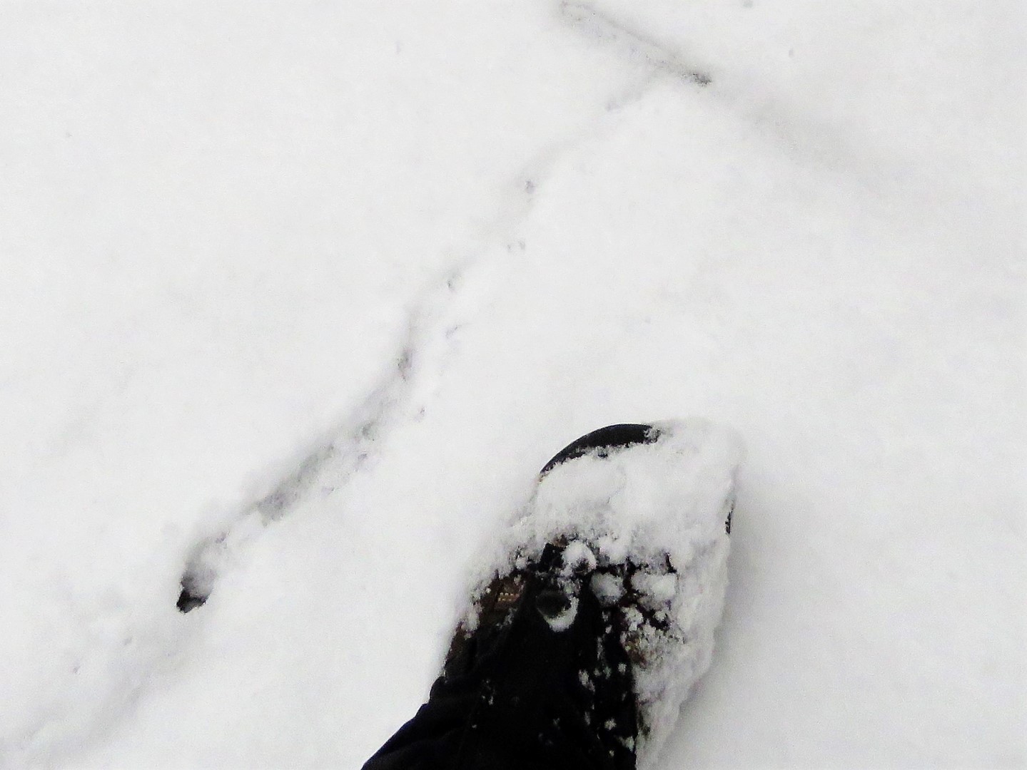
| Mouse tracks. |
 |
| At the time these looked like they might be bobcat - hard to tell with snow coming down and obliterating the tracks. |
 |
| These looked like coyote tracks and they came up Hay Road from the left and continued as far as I could see up Hay Road to the right. |
 |
| At the intersection with the trail to the Lower Forge Wilderness Camp ... |
 |
| ... one set of footprints came from the camping area, stopped at the Batona Trail sign, then continued on. He must have camped overnight and was heading out shortly before we arrived at that point. |
 |
| Quaker Bridge |
 |
| I thought this was the Batsto River but Google Maps says Mullica River, so which ever river, to the left from the bridge. |
 |
| And to the right. |
 |
| I was shocked that Brodie actually came on the bridge while I was taking pictures. |
 |
| When my son and I hiked the Batsto loop with Shawnee in November 2009, she was having none of that bridge. |
 |
| Quaker Bridge was our turn around point. Heading back and wishing it would stop snowing for just 5 minutes so I could stop and take a break. It had been snowing the ENTIRE time and that was becoming annoying. |
 |
| Finally, the snow lightened up, I found a tree with a "hook" to hang my backpack on, and I got to drink some of my hot tea, which was still hot! And most importantly, Brodie got his cookies. |
 |
| I heard a dirt bike then saw where he had ridden on the Batona Trail for quite a stretch. |
 |
| Back on Carranza Road, a caravan of Jeeps passed. I counted 8. Were they the ones doing donuts in the snow? |
 |
| Cutting back over to Carranza Memorial ... |
 |
| ... to where we parked. |


A great spot for hiking any time that it's muddy (hooray, sand!) but especially lovely in the snow. Thanks for sharing!
ReplyDeleteIt was pretty but that snow coming down incessantly was getting pretty darned annoying!
DeleteWhat a champ Brodie for walking on that bridge!
ReplyDeleteI kept looking for blood in the snow thinking he had to have nicked his pads but nothing. It looked terribly painful standing on that grate but there was no stopping him.
DeleteHi Daniela -- and a belated Happy New Year! (I don't think I checked out your blog at the very end of last year -- did you post a total of your balloons that you collected/carried out? I think I predicted 55...how close was I?)
ReplyDeleteO.K., I'll now end the digression, and continue on with _this_ adventure. Eh, wow! I'm surprised you came down this way...usually, you come down here to _avoid_ the snow, but I think we got much more down here than you got up in Northern Jersey (if you got any at all, that is!) But the snow did make for some great pix; I've never hiked this trail (any part of it) with that much snow on the ground. As for this particular section of trail -- I hiked from Carranza Memorial southbound almost 9 years ago (in May 2010). My goal was only to Hay Rd., but I believe I actually made it down to Push Line Rd. (Granted, back then, there were no mile markers or nice signs for the major sand roads; I thought Hay Road was more "major" than it actually was!) Plus, I didn't have a handy-dandy pedometer app, so I could only guesstimate how far I had hiked. But I figured that (with taking time out for pictures), I probably would have completed the (billed) 3.3-mile section between CM and HR in about an hour, but I turned out to go a bit more than an hour...which makes sense, since Push Line Rd. is definitely further along! I then did Quaker Bridge to Hay Road (and back) a couple years later. You are right in that (other than Carranza Memorial and Quaker Bridge itself), there's pretty much nothing but pine tree after pine tree, but still a nice hike overall!
I echo Trekker Dog's sentiments too, as Brodie is indeed a "champ" for walking over Quaker Bridge, where Shawnee was having "no part of it"! Definitely would take "guts" to do it if one is a dog. Now (Brodie)...about those Apple Pie Hill steps... (Hee Hee -- just joking, and no, I haven't forgotten about the need for an appointment to be able to go up anyway, but if _any_ dog could handle those steps...Brodie could!)
Anyway -- great job braving the storm to come down to South Jersey! There's a potentially even bigger storm headed this way next weekend (although, some of it may be rain), but knowing you, I'll betcha I still see a blog entry for Sunday, January 20th next week (desination unknown, of course!) Time will tell...till then, keep on hikin'!
Jim
Brodie might have no problem with fire tower steps but me on the other hand, I am with Shawnee on that one. I think the farthest I have made it up a fire tower is the 3rd level then had to scoot down on my behind because my knees were knocking. I put the picture of the balloons (56 total) in the year end video at the end https://youtu.be/0P30Q7jCoOM. And yes, what WAS I thinking heading INTO the snow? I really was kicking myself over that, especially when I came home to blue skies and no snow. And now to have to deal with it again this coming weekend? I will just plead temporary insanity on that one. Happy New Year, Jim!
DeleteOur balloon count for 2018 was 1. I don't know how they find you!
DeleteHa ha ha! I swear sometimes they are behind me or way off in the woods and I just spin around and hone in on them.
DeleteFantastic hike! I did this walk in April 2018 on a weekend backpacking trip. Last January I hiked the old RR tracks - they were the route of the famed "Blue Comet" train from Jersey City to Atlantic City - from Atsion to Carranza and back.
ReplyDeleteInteresting! So you can hike those tracks and they are not annoyingly overgrown?
DeleteThat looks like a great trip! Love the trees growing through the old rr tracks, cheers!
ReplyDeleteGreat to look at but not so great to be in. I am just not a snow person but I gave it my best shot :)
DeleteLove the snow pictures, especially the Carranza Memorial.
ReplyDeleteNot the most exciting stretch of the Batona, but I figure any day on the Batona Trail is a good day. :)
For sure! Or how is it they say ... A bad day on the trail is better than a good day at the office.
Delete