Friday, June 27, 2025

Turner Reservoir Loop, RI

ABOUT THE PARK: 
Turner Reservoir - Rhode Island Land Trust Council

DIRECTIONS: 
GPS Coordinates 41.82966, -71.34358
Parking on east side of the bridge.  There is another parking lot on the other side of the bridge.

TRAIL MAP: 
Turner Reservoir Loop Trail Map - Rhode Island Land Trust Council


DISTANCES: 
I had this trip planned months ago as an add-on on the way home from an REI hiking trip in Maine that I had registered for.  REI then cancelled all of their adventure trips but I kept the Rhode Island part and so glad I did - it was so much fun!

Friday, June 27, 2025
HIKE: Turner Reservoir Trail - 3.4 miles

Saturday, June 28, 2025
HIKE - Colt State Park Hiking Trails - 1.7 miles

THE HIKE: 
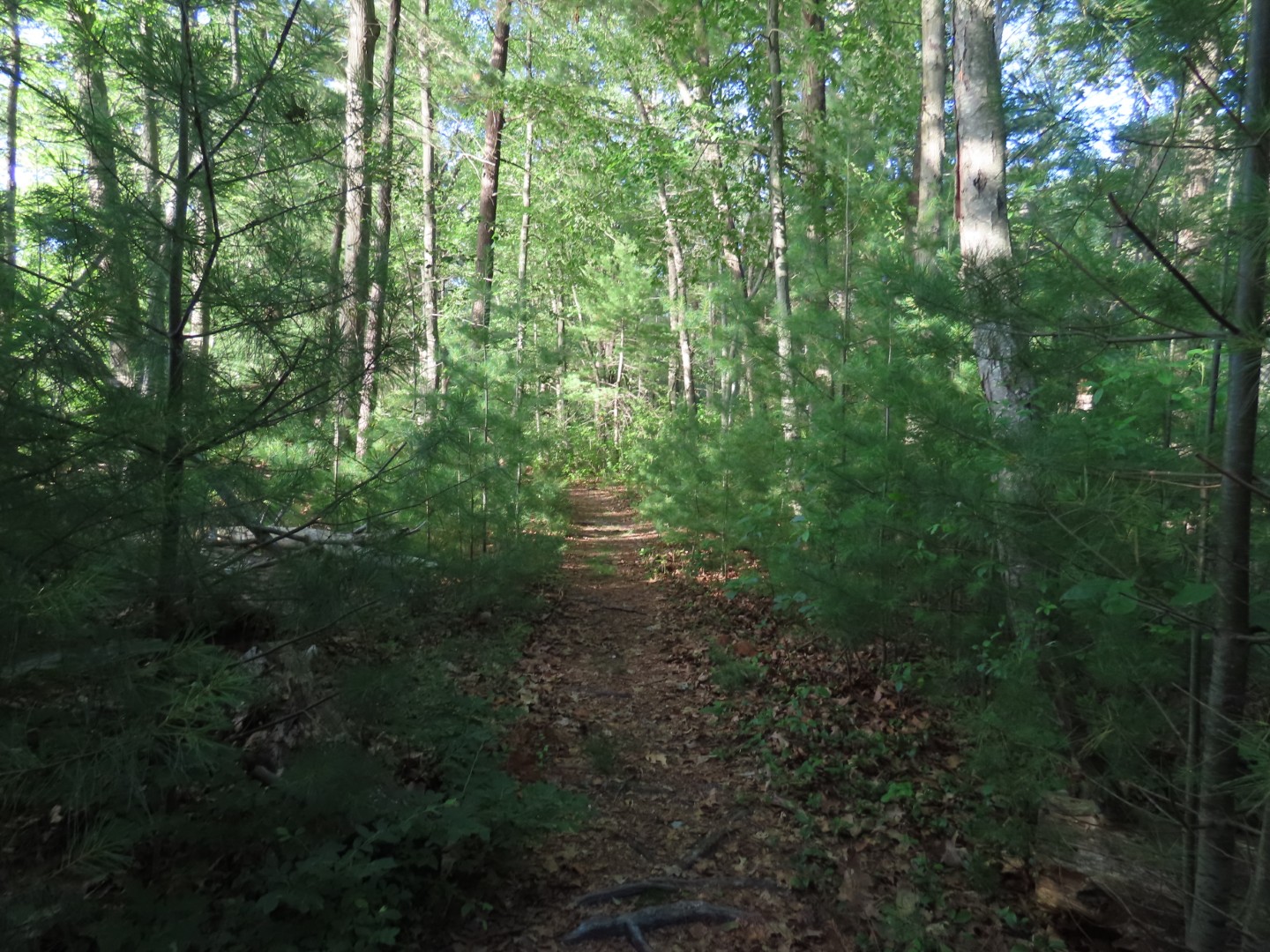
This trail was only half a mile from the hotel I where I was going to be staying.  It's a lovely little trail right on the Rhode Island/Massachusetts state line.
Lots of decking in the beginning heading around counter clockwise.
A beaver swam towards the bridge as I was standing there but couldn't get the camera to focus in time.
Turner Reservoir
At some point along the way, leaving Rhode Island and entering Massachusetts.
To the left, an orange loop trail on a peninsula.
The trail comes out on a road for a bit of road walking on sidewalks.
Back into Rhode Island.
Turner Reservoir from the Newman Avenue.
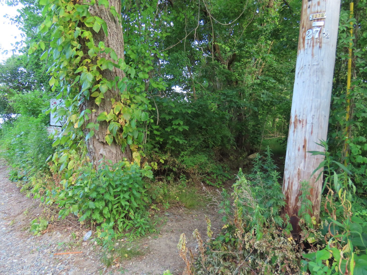
Just the other side of the bridge, left back into the woods.
To the right, mowed paths through Bridgeham Farm Conservation Area.
These silly wabbits were hopping straight towards me!
Back out on to the Turner Reservoir Loop.
Coming out on Pleasant Street at the other parking lot.
Left across the bridge ...
... back to the parking lot.
Arriving at Ramada Inn Providence-Seekonk which I do not recommend.  For $190 for the night it was a budget motel quality room.  I tend to be germ phobic in motels/hotels so I bring my own sheet, blanket and pillow along with sanitizing wipes to wipe down all surfaces.  I was glad I did.

Arcadia Management Area, RI - Stepstone Falls

ABOUT THE PARK: 
Arcadia Management Area - Rhode Island State Parks

DIRECTIONS: 
GPS Coordinates 41.58969, -71.75827
Escoheag Trail Trailhead Parking at Plain Road

TRAIL MAP: 
There isn't a trail map that I could find.  The closest thing would be on Trailforks:


DISTANCES:
I had this trip planned months ago as an add-on on the way home from an REI hiking trip in Maine that I had registered for.  REI then cancelled all of their adventure trips but I kept the Rhode Island part and so glad I did - it was so much fun!

Friday, June 27, 2025
HIKE: Arcadia Management Area Stepstone Falls - 6.2 miles
HIKE: Turner Reservoir Trail - 3.4 miles

Saturday, June 28, 2025
HIKE - Colt State Park Hiking Trails - 1.7 miles

THE HIKE:
Heading down Plain Road from the parking area.
Keeping left when the Barber Trail goes right.
When Plain Road bends to the right, left on Tanner Cutoff but there will be no blazing and no sign until a good distance in.
Trailforks shows this trail but Gaia does not.  It will meet up with the trail on the Gaia app eventually.
Tufted Titmouse
Great Crested Flycatcher
A Tanner Cutoff sign!
There is a massive blow down but a path to the left ...
... comes out on an old road then veers back into the woods beyond the blow down.
So people think if you package your garbage up neatly it's OK to leave it there?  NOT!
Blue and yellow blazes appear.
Stepstone Falls
You can drive to Stepstone Falls but why when you can hike there?
Crossing the bridge over ...
... Wood River.
A white-blazed path on the other side is the 77-mile long North-South Trail that runs the length of Rhode Island from the Atlantic Ocean to the Massachusetts border.
This crosses back over to the other side of Wood River on a footbridge.
A North-South Trail sign.
American Goldfinch
Eastern Kingbird
Ben Utter Trail is blazed yellow.
I believe blue might be the Escoheag Trail but it's hard to tell without a trail map.
The trail veers left as Tanner Washout, a hiking only trail.
This is a very pretty trail along Wood River.
Coming out on Plain Road ...
... looking back at the trail sign with names.  Still confused as to which trail is which color.
A short distance to the right on Plain Road ...
... to left on the, yes I suppose it is blue, Escoheag Trail.
And it is still also the white North-South Trail.
Staying with white the rest of the way.
Damselfly
I noticed this sign off to the right.
Seems to be an old cemetery with unmarked graves.
Still on the Escoheag Trail even though it is blazed white now?  Without a map the trails are very confusing.  Thank goodness for the app that at least shows where you are.
The trail descends along pretty ledges.
Coming out at a parking area ...
... where the Escoheag Trail is a gravel road ...
... back to the parking area.