

Belleplain State Forest - New Jersey State Park Service
DIRECTIONS:
GPS Coordinates 39.24854, -74.84209
 |
| Parking at the state forest office. |
TRAIL MAP:
Belleplain State Forest Trail Map - New Jersey State Park Service
HIKE DISTANCE: 13.2 miles
THE HIKE:
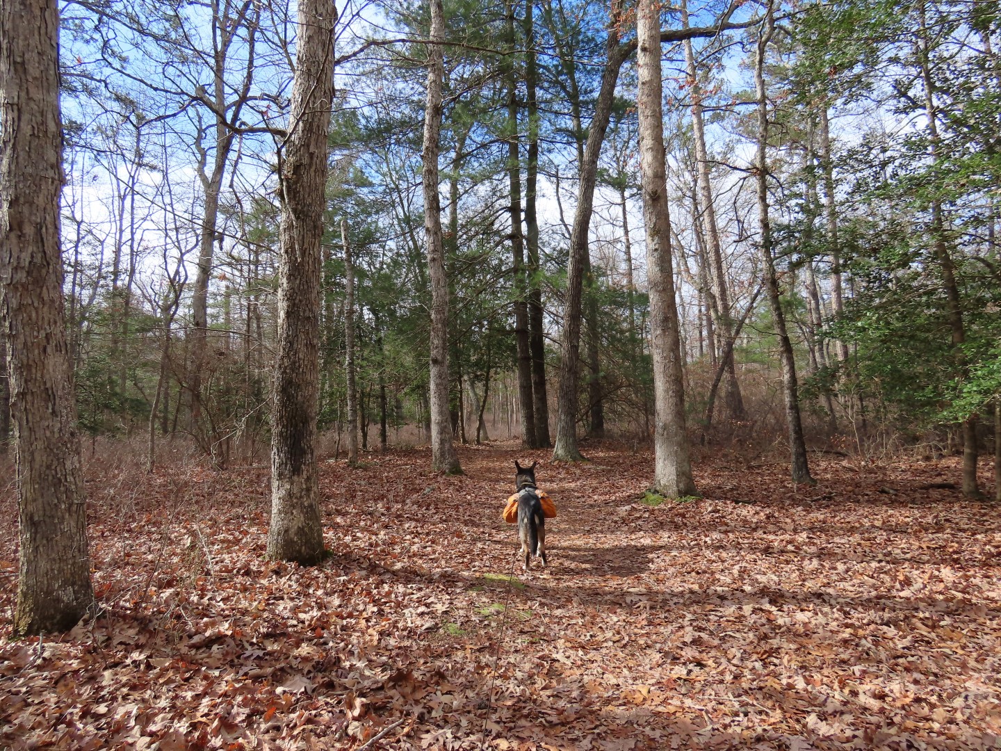
I hiked the East Creek and Ponds Trails back in December 2010. This time I extended the hike by adding on some of the pink-blazed mountain bike trails and trails in the Lake Nummy area.
 |
| Starting on the red-blazed North Shore Trail to the right of the forest office. |


 |
| The trail ends at the green-blazed Goosekill Trail where we turned right. We would be returning from the left. |

 |
| Where the green trail ends, right on ... |
 |
| ... the Champion Trail just a few steps to ... |
 |
| ... left on the pink Mountain Bike Trail. |
 |
| We did not see any mountain bikers at all but did have to deal with the sound of gunfire nearby for the first 2 hours of the hike. Brodie freaks out over that so it makes for unpleasant hiking for both of us. |
 |
| I cut off a section by taking an unmarked trail to the left. |
 |
| Pink joins back in from the right. |

 |
| Cutting off another section of pink on an old road to ... |
 |
| ... rejoin pink where it crosses over. This got us out of hearing range of that awful gunfire. Or they just stopped shooting finally. |

 |
| Couple of park road crossings along the way. |


 |
| Pink meets up with the white East Creek Trail where we turned right. |
 |
| East Creek Trail |


 |
| At a particularly wet section ... |
 |
| ... a faint path leads to the left to the sand road ... |
 |
| ... then back over to the trail to bypass that section. |


 |
| Following along East Creek Pond. |
 |
| East Creek Pond |
 |
| At a parking lot on Route 347 the trail turns left for a road walk but we crossed over to ... |
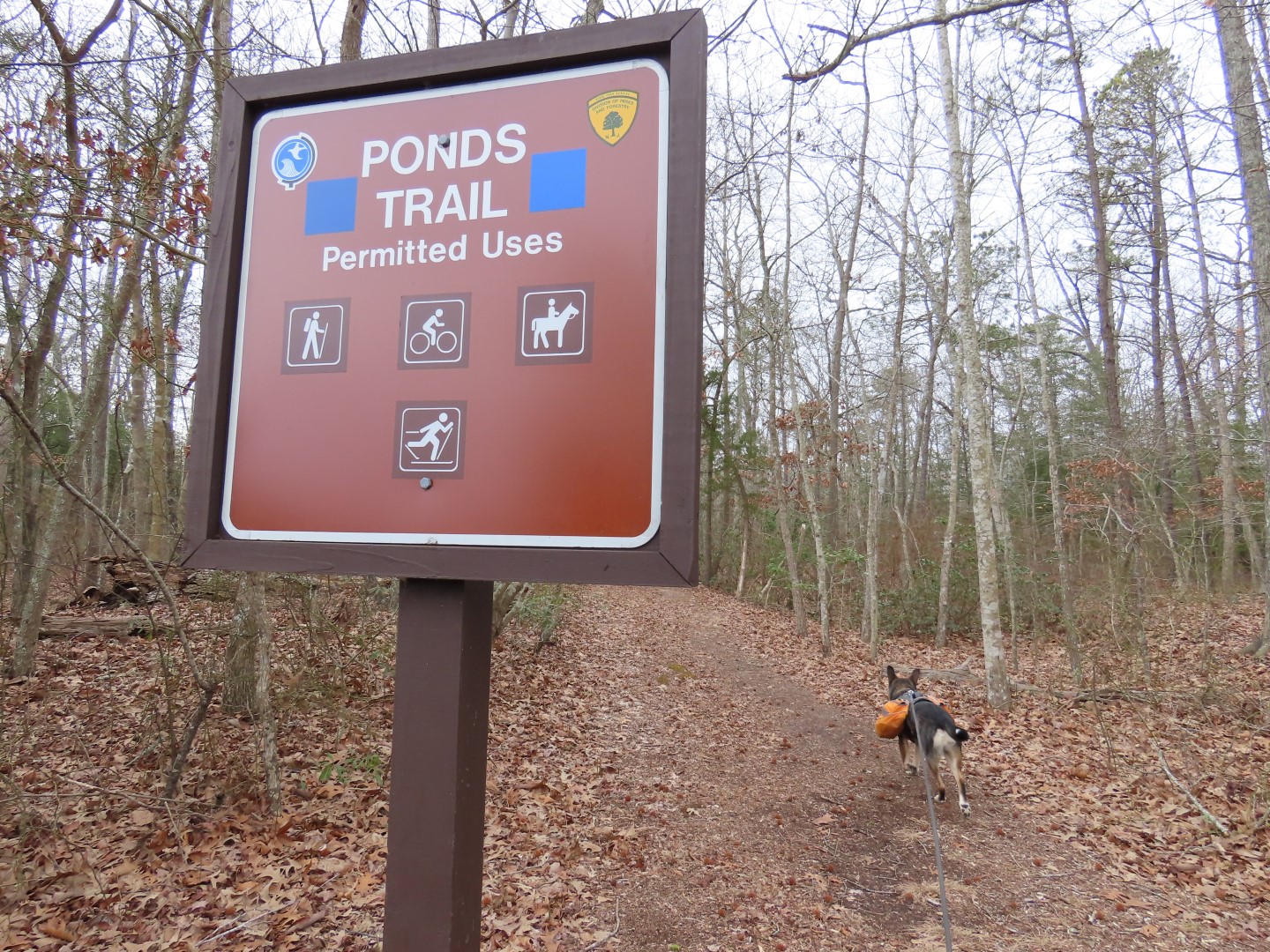 |
| ... the Ponds Trail which leads to Pickle Factory Pond. |
 |
| When I hiked this back in 2010 the trail was very overgrown. It was wide open now. |
 |
| There were a few downed trees to hurdle over and some wet spots to navigate. |

 |
| Green joins in for a bit ... |
 |
| ... before leaving blue when blue turns left. |

 |
| Then just after this wet area crossing, about half way to Pickle Factory Pond ... |
 |
| ... the trail floods out completely. |
 |
| I could find no way around this and the flooding extended up the trail as far as I could see so it was completely impassable, not at all the case back in 2010. We had no choice but to turn back. |

 |
| Back at the beginning of the Ponds Trail we crossed over and turned right to continue on the white East Creek Trail. |
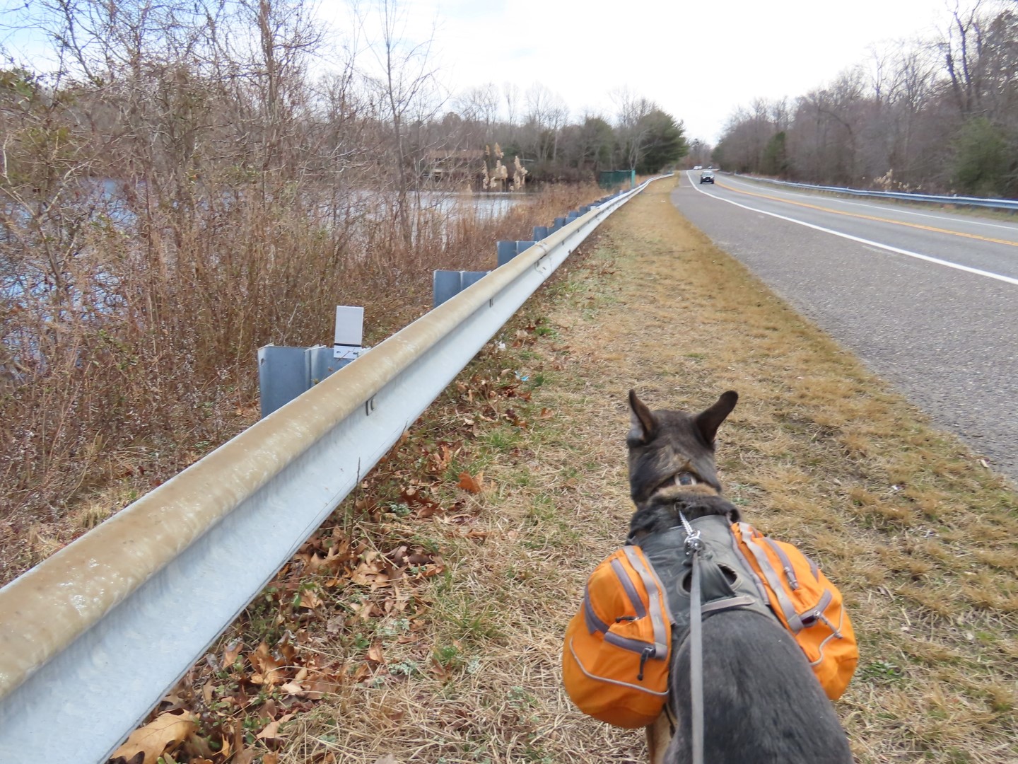 |
| It's not a pleasant road walk with with lots of traffic zooming by. |
 |
| East Creek Pond |
 |
| Someone had told me you can cut off part of the road walk by finding a way over to the cabin drive to the left, which is what we did. |
 |
| At the drive turn left again towards the cabin then in front of the cabin, turn right ... |
 |
| ... cross the ball field to the far right corner ... |
 |
| ... where there is an unmarked trail that leads to ... |
 |
| ... the East Creek Trail where we turned left. |


 |
| I had noted back in 2020 that this was a brand new section of boardwalk. Not so new any more. |


 |
| At the road just past the maintenance area we turned left on the road, then right ... |
 |
| ... then left again at Lake Nummy towards the beach. |
 |
| We turned right into the beach area then straight ahead to ... |
 |
| ... the nature trail. |


 |
| This ends at the green Goosekill Trail where we turned left.... |
 |
| ... then right on the red North Shore Trail all the way back to the parking lot. |


