

Henry Hudson Trail - Monmouth County Parks
DIRECTIONS:
GPS Coordinates 40.44230, -74.17220
 |
| The directions on the map for parking in this area were not clear - doesn't actually lead to a designated lot for the Henry Hudson Trail. This appears to be school parking and there are signs stating no parking between certain hours in certain spots but at this far end, it seemed to be OK so that is where I parked. |
 |
| There is a kiosk with this map about midway along that school parking section. |
TRAIL MAP:
Henry Hudson Trail Brochure and Map - Monmouth County Parks
BIKE DISTANCE: 19.9 miles
THE BIKE:
 |
| Heading to the right on the Henry Hudson Trail. |


 |
| There is always repurposed garbage in osprey nests. |

 |
| The trail is paved for the most part but it's pretty bumpy with roots lifting the surface up. |


 |
| There are lots of road crossings. |


 |
| A short section follows right along Route 36. |

 |
| The bike path ends at Avenue D. It's a few of blocks of road biking to the next part. |

 |
| It is well signed showing where to keep straight and where to turn. |

 |
| At the left turn at Many Mind Creek ... |
 |
| ... the bike path picks up again. |


 |
| After the first of these boardwalks the pavement becomes cinder the rest of the way. |
 |
| New York City skyline views. |
 |
| Verrazzano-Narrows Bridge |

 |
| The trail ends at Popamora Point here there is a bike rack, restrooms, and ... |
 |
| ... a short path to the beach. |

 |
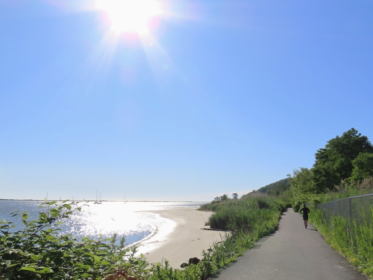
| Heading back on the bike trail without the sun in my face but into the wind. |


 |
| Back to the road connection portion. |


 |
| And back on the trail the rest of the way. |


