ABOUT THE PARK:
DIRECTIONS:
GPS Coordinates 40.61464, -75.15303
 |
| Cyphers Road P2 Parking |
TRAIL MAP:
HIKE DISTANCE: 9 miles
THE HIKE:
I had hiked here in
February 2012 but it seemed some things had changed since then. I could be wrong but I couldn't recall the P2 parking lot with the orange trail so I wanted to hike that into the preserve as that seemed to have been added.
 |
| A left from the parking lot on Cyphers Road. |
 |
| Left on Bellis Road at the top of the hill. |
 |
| There are posts with trail markers off to the left but it wasn't mowed so we stayed on the road. |
 |
| I was able to see an osprey fly over to a nest on top of a pylon in the power cut. |
 |
| Here we turned left on a faint path through the high grass over to the corn field perimeter where we turned right and followed it around to the left. |
 |
| About even with the parking lot across the corn field down below, the trail turns right into the woods. Until I saw the markers, I did not know that this is also the route of the teal diamond Highlands Trail. This is not shown on the map Hunterdon County park map but it is mentioned by the NYNJ Trail Conference that the co-alignment with the Highlands Trail was done in 2019. |
 |
| It started out pretty overgrown ... |
 |
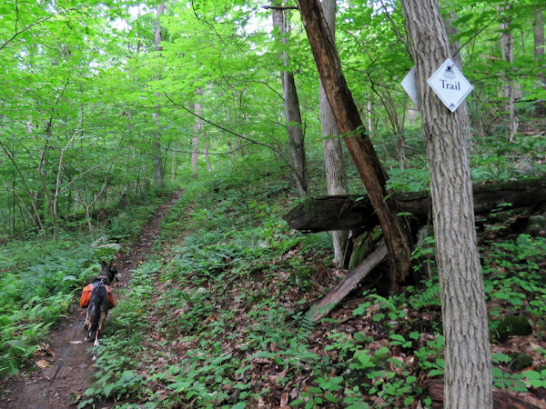
| .. but then opened up and was a very pretty hike through the woods. I cleared a ton of downed branches along the way, probably from the recent storms. |
 |
| I almost turned back but ended up going forward through overgrowth and thorns. |
 |
| It did open back up after that section so it wasn't too bad. |
 |
| But then we encountered more overgrowth. Brodie is actually in there, somewhere. Going through this part might have been a huge mistake as I came out gouged from thorns from my shoulders down. Imagine how lovely I looked in a sundress at my granddaughter's birthday party that afternoon. |
 |
| It did clear up again but that was quite a long stretch of overgrowth and I was already consulting the Gaia app to see if a road walk back were possible because I really did not want to repeat this part of the trail which is what I would otherwise have had to do. |
 |
| The trail crosses Route 519 and heads back into the woods. |
 |
| No more overgrowth from this point on. |
 |
| Orange ends at blue. The Highlands trail joins blue to the right, we turned left. |
 |
| There is an occasional orange marker but the trail is still the blue trail. |
 |
| At the intersection where orange goes straight and blue turns right, to the left is an old white-blazed trail that is not on the map. This is actually an old rail bed and I remembered that from when I was here before so needing an easy trail after hacking through all of that overgrowth, that is the was we went. |
 |
| This old rail bed is graded and is in quite nice shape. It seems to run along the boundary line with the preserve on the right and private property on the left. |
 |
| You can hear the roaring of the Musconetcong River to the left but can't see much of it at all. |
 |
| After the dam the river is a little bit visible. |
 |
| Where Pine Run comes down is what I believe used to be a very steep, rocky white trail up to the yellow/teal Highlands Trail. I recall having come down that trail the last time I was here but it is no longer indicated as a trail on the map. |
 |
| It was way too steep and slippery so ... |
 |
| ... we headed back to take the white trail that is on the map, on the left shortly after the dam. |
 |
| This trail ascends much more gently than the one that used to go up along Pine Run. |
 |
| I had been noticing a lot of holes in the ground along this stretch and was wondering if they were from the Brood X cicadas. |
 |
| Sure enough, there were cicada shells from when they had come out of the ground after having been there for 17 years. They would have shed their shells in May, made that ear piercing loud noise to attract mates, laid eggs, then died after 5-6 weeks so they were all gone now and all was quiet. |
 |
| White ends at the top where it connects to yellow/teal. We turned right. |
 |
| A little snippet of a view. |
 |
| There are also white blazes along this route, not shown on the map. |
 |
| Crossing over Scout Run at the falls. |
 |
| At parking lot P1 yellow ends and the Highlands Trail turns right where it meets up with where we have come in earlier and where we would now have to retrace. But I already had a road walk plan. |
 |
| We went left on Dennis Road. |
 |
| It's a nice, quiet gravel road with no traffic. |
 |
| It turns to pavement and there are more houses but we encountered no traffic at all. It did, however, start to rain. This was not in the forecast. |
 |
| At the end of Dennis Road, it's a short .15 mile road walk along Route 519 which can be busy but there was enough room to walk. |
 |
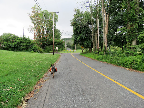
| It took some time to be able to cross Route 519 with all the traffic but we eventually crossed and continued on Bellis Road. There was a little bit of traffic on this road but it wasn't bad. |
 |
| There were some nice views along the way. |
 |
| At the end of the guardrail on the right is where we picked up the orange/teal trail at the beginning of the hike. The road walk was 2.3 miles compared to the 1.5 miles of trail but I did it in half the time not being slowed down by overgrowth and clearing branches from the trail. |
 |
| Here is where we had picked up the trail, now continuing straight on Bellis Road. |
 |
| Checking in on the ospreys in the power cut, both parents were there. |
 |
| Right on Cyphers Road ... |
 |
| ... back to the parking lot which was surprisingly full. If they are all hiking the orange/teal trail, they must be turning back at the overgrowth, otherwise with that much foot traffic I cannot imagine it would have been that overgrown. |


