ABOUT THE PARKS:
Wharton Canal Walk - Canal Society of New Jersey
Irondale Mountain Trails - Borough of Wharton
DIRECTIONS:
GPS Coordinates 40.90218, -74.58820
TRAIL MAPS:
Wharton Canal Walk - Canal Society of New Jersey
Irondale Mountain Trails - Borough of Wharton
HIKE DISTANCE: 4 miles
Hiked together with Hedden County Park, an 8 minute drive away.
THE HIKE:
 |
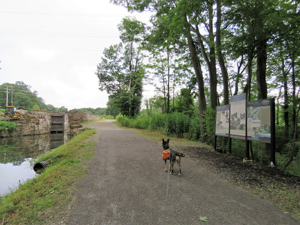
| The Morris Canal on the left, Rockaway River on the right. |
 |
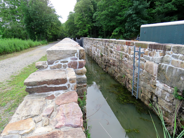
| Coming up on Lock 2. |
 |
| Wetlands along the trail. |
 |
| At the end this goes uphill and you can either go left or right. We went right first. |
 |
| Looking back at the way we came. |
 |
| W followed this as far as we could and it eventually fizzled out into overgrowth. |
 |
| So we headed back. |
 |
| Lovely views of a junkyard along the way. |
 |
| We had come up from the left, now keeping straight to see if we could loop around to the upper level. |
 |
| OK, so does this no trespassing sign mean do not enter at all or stay left and do not leave the path? I decided to proceed based on the latter but not at all sure if that was OK. |
 |
| The trail continues ... |
 |
| ... then comes out at a sign not too far along. |
 |
| Turning around to read the sign. Well, again, does this mean just don't leave the trail? |
 |
| Going back through the power cut that we had crossed below earlier. |
 |
| Lock 2 at the edge of the power cut. |
 |
| From up here it looks like the lock tender's house is being rebuilt. |
 |
| This would be the path coming up from Lock 2 which is currently not accessible. |
 |
| Now on the upper level which is the former route of the Central Railroad of New Jersey - High Bridge Branch. |
 |
| There are still old railroad ties around. |
 |
| The three geese we had passed earlier down in the canal. |
 |
| The kiosk where the Irondale Mountain Trails are accessed. |
 |
| We kept to the right looping around and capturing all of the trails. |
 |
| There were multiple mine pits along this trail which turned out to be test pits according to the sign farther along. |
 |
| The Ridge Trail goes left here but we turned right ... |
 |
| ... towards the power cut for a look. |
 |
| There is a pretty nice power cut view up here. |
 |
| We went through the power cut for a bit ... |
 |
| ... then headed back. |
 |
| The yellow Ridge Trail forks and right goes a short distance to this overlook. More like a seasonal overlook, nothing to see with leaves on the trees. |
 |
| Right on the blue-blazed Lower Mine Trail ... |
 |
| ... is an actual mine. |
 |
| This trail comes out at the Birch Street parking lot. |
 |
| Heading back on blue. |
 |
| We both had a freak out moment when he got stuck in my hair. |
 |
| Meeting back up with where we had started on red. |
 |
| Right on the rail bed ... |
 |
| ... back to where we parked. |


No comments:
Post a Comment