Delhi Trails (Mr. Crawford) - Catskill Mountain Club
DIRECTIONS:
GPS Coordinates 42.272913, -74.913415
 |
| Parking in front of Sheldon Park at the end of Sheldon Drive opposite the Delaware Academy. |
TRAIL MAP:
Delhi Trails - Catskill Mountain Club (At this time this is the most current map showing pending reroutes which partially exist and were hikable. The challenge brochure contains the old map showing part of the trail that is no longer accessible on private property.)
HIKE DISTANCE: 4.2 miles
THE HIKE:
This hike is part of the
Catskill Mountain Club Hiking Trails Challenge.
 |
| Start on the dirt road at the kiosk. |
 |
| Continue straight past the brick building. |
 |
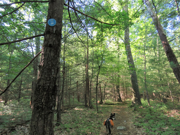
| Logging operations tend to obliterate hiking signs and markers so this is the first sign I saw for the Gribley Trail. |
 |
| Watch for a footpath leaving the woods road to the right. No sign at this time. |
 |
| This ascends steeply up Mt. Crawford. |
 |
| At the top there was supposed to be a view but it is overgrown. |
 |
| No worries, there is more to come. |
 |
| Staying on the Gribley Trail. After the logging section signs are plentiful directing the way. |
 |
| With a sign pointing to a view, there must be a view! |
 |
| There is! |
 |
| We turned right on the Bulldog Run Trail. |
 |
| When the Bulldog Run Trail meets back up with the Gribley Trail, right briefly on Gribley ... |
 |
| ... then left towards Immanuel Lutheran Church. |
 |
| A kiosk just before ... |
 |
| ... Immanuel Lutheran Church where there is also parking except on Sundays when church is in service. |
 |
| Walk out of the parking lot ... |
 |
| ... then left a short distance to the sign just beyond the fire hydrant. |
 |
| But no problem, it was a very short distance through overgrowth to a nicely mowed path where we turned left. |
 |
| Down to the left a yellow sign ... |
 |
| ... where the trail descends and enters the woods. |
 |
| Turning right to cross the bridge (to the left away from the bridge would be the private property that is no longer accessible). |
 |
| After the bridge the trail is pretty overgrown but still passable. |
 |
| Mt. Crawford that we had just climbed to the right. |
 |
| West Branch Delaware River |
 |
| Baltimore Oriole |
 |
| Watch for a side trail to the right that descends steeply to Smith Pond. |
 |
| Coming up on ... |
 |
| Route 28 where we turned left ... |
 |
| ... then crossed over to the sidewalk. |
 |
| It's a short distance to a right on Sheldon Drive ... |
 |
| ... back to parking on the left up ahead. |


