ABOUT THE PARK:
Sterling Forest State Park, NY - New York State Parks
Sterling Forest State Park, NY - New York State Parks
DIRECTIONS:
GPS Coordinates 41.23480, -74.23787
GPS Coordinates 41.23480, -74.23787
 |
| P7 parking at the end of Ironwood Drive. There is also P6 parking at the Hogback Mountain trail head but I wanted to add some mileage so I chose this parking area. |
TRAIL MAP:
Sterling Forest Trails Map 100 - NY/NJ Trail Conference
HIKE DISTANCE: 4.6 miles
Hiked together with the Eagle Lake Loop - .5 mile (about a 10 minute drive away)
THE HIKE:
This was my first real hike almost 4 months after hip replacement surgery. Sterling Forest is hilly and even though this hike was mostly woods roads, it was as hilly as expected. Lynn from Agile Trekker, who is recovering from both ankle and meniscus surgeries, hiked this the week prior and it looked like a good intro back to hiking for me also so thanks for the idea, Lynn.
 |
| Walking back out Ironwood Drive. From the parking area to the apartments is the yellow-blazed Sterling Valley Loop. |
 |
| Just after the apartments yellow leaves to the right and the green triangle Hogback Connector follows Ironwood Road. |
 |
| Spring migration in progress overhead. |
 |
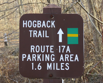
| The Hogback Mountain Trail starts on the left. |
 |
| Hunting is over so we were good to go. |
 |
| Some lingering snow. |
 |
| At this sign the trail goes downhill steeply to the left. I was curious about the woods road straight ahead continuing on the other side of that downed tree. |
 |
| I knew there was a pipeline up ahead and thought maybe that would connect to this woods road. |
 |
| For now, left down the steep hill. |
 |
| Looks like a path up into that pipeline cut. |
 |
| The end of the Hogback Mountain Trail at the gate. |
 |
| Heading up the pipeline cut. |
 |
| There it is, the other end of that woods road. |
 |
| But first I wanted to go up the next rise as there appeared to be a pond on the map. |
 |
| Yes, there is the pond but it was way too steep to get down there so ... |
 |
| ... we took a break instead before heading back to that woods road. |
 |
| On the woods road which was very clear. |
 |
| And here we are coming up on the other side of that downed tree. |
 |
| Now continuing straight to retrace. That yellow steep hill sign is on the right. |
 |
| When Dan and Laura Balogh did this hike they turned right on this woods road in search of Tiger Mountain but they did not make it since the woods road fizzled out. |
 |
| There is a no mountain bike sign. |
 |
| He led me straight to balloon #3 of the year. |
 |
| Here we are at the bushwhack part trying to connect from one woods road to the other. |
 |
| By golly, Brodie got us there. |
 |
| And here we are joining back up with the Hogback Mountain Trail. |
 |
| Sitting on a log in the middle of the woods in total peace and quite was amazing. I hadn't realized just how much I missed that. |
 |
| Coming back up on Ironwood Road. |
 |
| The end of the Hogback Mountain connector trail ... |
 |
| ... back onto the Sterling Valley Loop trail. |
 |
| There were a few more cars at the end but they must have been on the Sterling Valley Loop because there was nobody else on the Hogback Mountain Trail. |


