ABOUT THE PARK:
DIRECTIONS:
GPS Coordinates 39.869722, -74.170319
 |
Parking at William J. Dudley Park
|
TRAIL MAP:
HIKE DISTANCE: 2.75 miles (can be made longer staying on the Barnegat Branch Trail)
THE HIKE:
With 18 inches of snow in my neck of the woods, I had to find a snow-free place. After consulting the snow depth map, I headed to just south of Toms River where it was 95% snow free! As a bonus, there is so much parking space yet there were very few people around on a sunny and warm 49 degree day.
 |
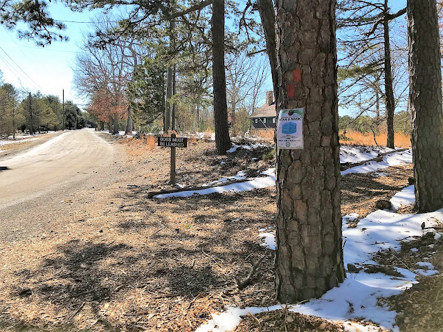
A trail from the parking lot leads to the Barnegat Branch Trail.
|
 |
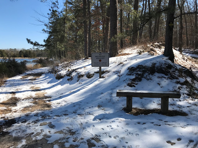
But first I spotted a side trail to the right at a fork and took that to see where it went.
|
 |
Little did I know it would loop me around to the main park road.
|
 |
We just had to continue on and start again.
|
 |
Back through the parking lot to the trail.
|
 |
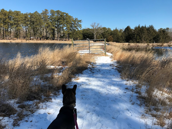
A short side trail to the left leads to Cedar Creek.
|
 |
Then a pretty boardwalk ...
|
 |
... to the Cedar Creek Trestle.
|
 |
Turning right here leads to additional miles of the Barnegat Branch Trail in this completed section but we turned left ...
|
 |
... over the trestle.
|
 |
Coming up on the South Street parking lot on the left and Hebrew Park on the right.
|
 |
This section of the Barnegat Branch Trail ends just to the left but to the right an opening in the fence to the trail around Hebrew Park.
|
 |
We turned right to loop counter clockwise.
|
 |
Having completed the loop, back through the opening in the fence to retrace on the Barnegat Branch Trail.
|
 |
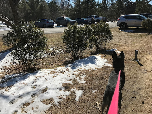
Back at the parking lot.
|
 |
From the parking lot, a short walk over to Cedar Creek for a look.
|
 |
Two mallards that don't look the same. Apparently the one of the left is called a bibbed mallard.
|


