Wharton State Forest - NJ Department of Environmental Protection
Batona Trail Brochure - NJ Department of Environmental Protection
DIRECTIONS:
GPS Coordinates 39.674160, -74.529419
 |
| Pull out parking where the Batona Trail crosses Route 679. |
TRAIL MAP:
Batona Trail Brochure - NJ Department of Environmental Protection
Powered by Wikiloc
HIKE DISTANCE: 8 miles (4 miles each way) for only the Batona Trail but with side trips, our hike was 10.5 miles
THE HIKE:
This is my final section to complete the Batona Trail. It's a 53.5 mile trail that took me 10 years and 122.9 miles to complete. That would be because I only hiked it in the winter and would incorporate other trails to make loops when possible. Here is a full list of the day hike sections from north to south (I hiked them randomly, not in order.)
 |
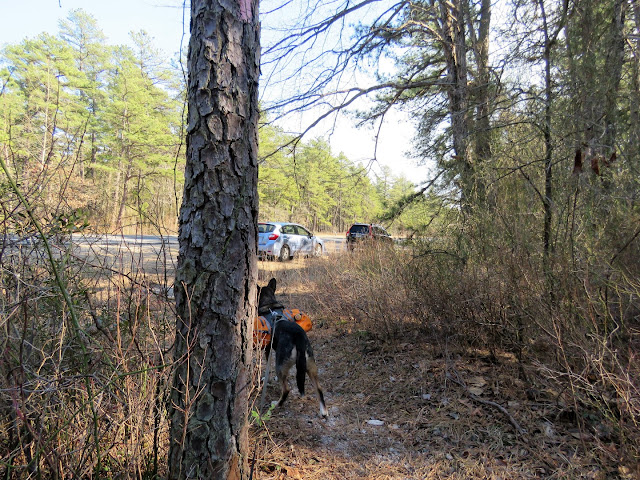
| Heading north where the Batona Trail crosses Route 679. |
 |
| Mile marker 9 a few steps in on the trail. We were headed to mile marker 13. |
 |
| This immediately goes through a scenic swamp on a raised berm. |
 |
| Coming out on Route 563 where the Batona Trail turns left for a short road walk. |
 |
| Evans Bridge has a dedicated pedestrian section. |
 |
| Just after Evans Bridge we turned left on a woods road leaving the Batona Trail. This leads through a pretty area to ... |
 |
| ... the bank of West Branch Wading River that we had just crossed on the Evans Bridge. |
 |
| The woods road abruptly ends where the river horseshoe bends to the right. |
 |
| There is another road to the left which just loops around to retrace the way we had come. |
 |
| Back on the road walk where the Batona Trail crosses over and enters the woods just up ahead. |
 |
| Starting out as a footpath. |
 |
| The trail crosses a few sand road. |
 |
| The trail starts to widen and becomes a sand road. |
 |
| Hermit Thrush |
 |
| A pretty little pond on the right. |
 |
| Mile marker 13 is actually a very short distance after this bridge. |
 |
| But with becoming distracted by something off to the right ... |
 |
| ... which would be balloon #14 of the year and the sun in my eyes, I completely overshot mile marker 13 and had to retrace. |
 |
| And here we are. No bells, no whistles, but the honor of being listed on South Jersey Trail's Batona Trail End-to-Enders Log. |
 |
| A celebratory snack.... |
 |
| ... and break at mile marker 13. |
 |
| Heading back. |
 |
| Just before Evans Bridge ... |
 |
| ... a side trip down to the river. There was a neat orange glow that I wanted to capture in the picture. Did Brodie really have to stick his tongue out? |
 |
| Some recent beaver activity. |
 |
| Crossing back over Evans Bridge. |
 |
| At mile marker 9, Route 679 just up ahead. |


