ABOUT THE PARK:
Don Robinson State Park - Missouri State Parks
Missouri's Next State Park Is Gift From Man Who Sold Spot Remover - St. Louis Post Dispatch
Don Robinson - KETC Living St. Louis
DIRECTIONS:
GPS Coordinates 38.391815, -90.695295
 |
| I parked at the top of the hill near Don Robinson's house so that I would not have to pass my car going from one trail to the other making it one continuous hike. |
TRAIL MAPS:
Sandstone Canyon Trail - Missouri State Parks
LaBarque Hills Trail - Missouri State Parks
Powered by Wikiloc
HIKE DISTANCE: 7.6 miles
THE HIKE:
 |
| Walking down the exit drive to the trail head on the right for ... |
 |
| ... the Labarque Hills Trail. |
 |
| Either way for the loop part; we went left. |
 |
| At the fork, left on a side trail to a high point with benches. |
 |
| Continuing on around the loop. |
 |
| A bear was here. |
 |
| Old stone wall. |
 |
| At the end of the loop, left to retrace back to the trail head. |
 |
| Coming up on the park road ... |
 |
| ... and crossing straight over to ... |
 |
| ... the Sandstone Canyon Trail. |
 |
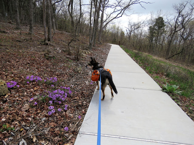
| The first .6 mile is paved and I don't think that is included in the trail length. |
 |
| The paved trail continues to the left and will be the return route. Behind this fence ... |
 |
| ... the red blazes and dirt trail begin. |
 |
| A shortcut trail for those who so desire. We stayed on red the for full loop. |
 |
| Something caught Brodie's attention and I figured it was a chipmunk that disappeared into a hole. |
 |
| Turns out it was a turtle that I would have never noticed had Brodie not honed in on him. |
 |
| The other end of the shortcut connector trail. |
 |
| We found a spot off the trail with a canyon view for our break. |
 |
| Continuing on. |
 |
| An old dam mostly broken and crumbling. |
 |
| Meeting back up with the paved trail. |
 |
| We continued right then ... |
 |
| ... left in between the parking sections ... |
 |
| ... to Don Robinson's grave site, |
 |
| Don Robinson's eternal view. |
 |
| Heading back down to ... |
 |
| ... Don Robinson's house. |
 |
| Brodie's backpack litter haul. |
 |
| Back at grandma's house ... |
 |
| ... for a nap on the patio. |


