ABOUT THE PARK:
Lusscroft Farm Trails - Lusscroft Farm

DIRECTIONS:
GPS Coordinates 41.24011, -74.68316
 |
| Parking at Lusscroft Farm |
TRAIL MAP:
Lusscroft Farm Trail Network - Lusscroft Farm

HIKE DISTANCE: 6 miles
THE HIKE:
 |
| Sunrise at Lusscroft Farm |


 |
| We started out walking through the farm area. |

 |
| This would be about as good as the views got on this hazy, 65-degree day in DECEMBER! |
 |
| Following this paved road around to the left... |
 |
| ... brought us to an umarked woods road that leads to Brink Pond and ... |
 |
| ... the blue-blazed Americorps Valley Trail. |
 |
| Brinks Pond |

 |
| All of the white plastic tubes would have something to do with maple syrup, I believe. |

 |
| Although the trail crosses over the paved 4-H Trail here, I wanted to stop at the gate house to check out the parking situation a little better. |
 |
| I was going to park here as it shows pull-out parking on the map but there was no place to pull off to park and walking to it for a better look confirmed that. |
 |
| The gate house. |
 |
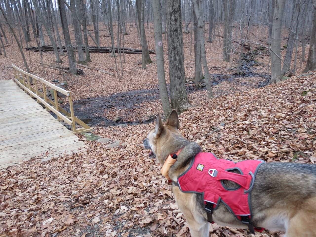
| Back on blue where there were several brand spanking new bridges. They even smelled of new wood still. |
 |
| You can go either right or left on red, they both end up at the same place. We went left. |


 |
| These must be the old bridges off of the pink trail, which leads to ... |
 |
| ... open fields. We just went the short distance to have a look then backtracked to... |
 |
| ... yellow. So if you can't figure out who to name a trail after, you just name it after everybody. |
 |
| Yellow leads back to the farm and ... |
 |
| ... Ice Pond. |
 |
| The brown trail should branch off at the intersection of yellow and green but it was nowhere to be found so we continued to the right along the fence... |
 |
| ... then followed it around to the left ... |
 |
| ... to the Sugar house ... |
 |
| ... where I found the brown trail. |

 |
| The brown trail ends at Neilson Road where you cross over to... |
 |
| ... the orange Shortcut Trail. |
 |
| This leads to the blue-blazed Americorps Mountain Trail. |
 |
| I've seen a tick or two in the snow but never an army marching up both legs in DECEMBER! Thank goodness I had Deep Woods OFF! with me. A blast (OK, a dousing) of that and they skedaddled away fast. Shawnee, fortunately, had none on her. The K-9 Advantix was apparently doing it's job. |


 |
| Old stone farm fence. |
 |
| The blue trail ends at an unmarked woods road which leads to ... |
 |
| ... the yellow trail just before a huge blow down. |
 |
| Another huge blow down a few steps in on yellow that Shawnee could walk right under. |
 |
| Shawnee watching my no-so-graceful crawl under on hands and knees. Note that spot of green in the background... |
 |
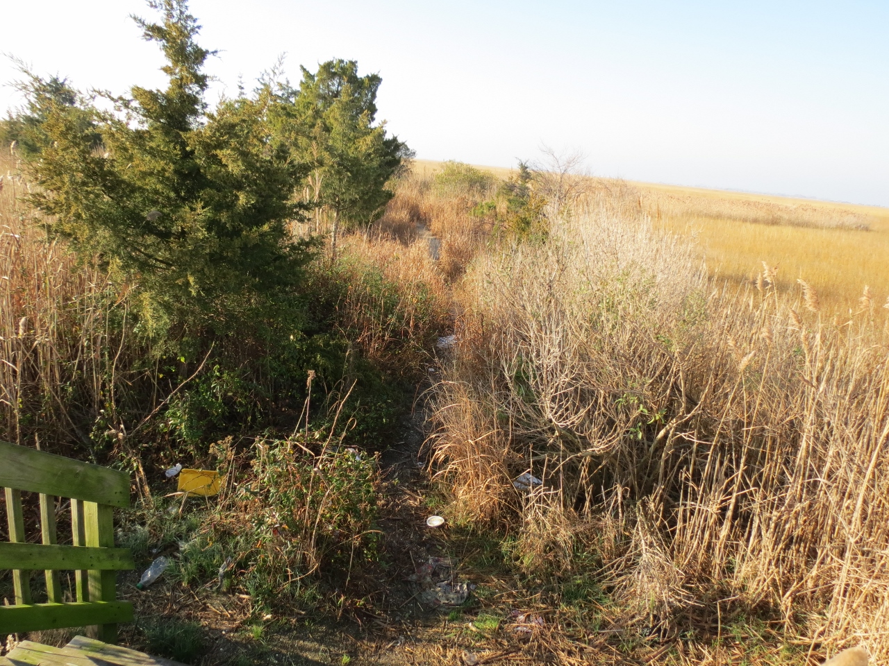
| ... no helium balloons for my collection on this hike so a couple of plastic bags will have to do. |
 |
| Mount McMitchell in the distance. |
 |
| Back on the orange Shortcut Trail for a short distance. |
 |
| And surprise! There is an unmarked trail to the summit of Mount McMitchell that is not on the map. |

 |
| At the summit of Mount McMitchell! |

 |
| Again, no winter views on this warm and hazy day. |
 |
| On the way out, I found the old sign in the leaves. |
 |
| The yellow Unity Trail. |

 |
| At the blue Explorer Trail, you can take north or south and make a loop up to the Applachian Trail. |
 |
| Once at the AT, a sign facing the other way states that were we came from is not the AT. |
 |
| On the Appalachian Trail. |
 |
| And looping around to the other fork of the Explorer Trail. |
 |
| The pink Nachos Trail... |
 |
| ... has ruins of an old plane crash. |

 |
| Not much to see from Spanish Overlook with the haze. |
 |
| There might be some winter views at best on a clear day. |

 |
| At the second "Steep Hill" sign at the bottom, blue continues to the left. |
 |
| The pink Tenderfoot Trail leads to ... |
 |
| ... an old spring house. |
 |
| Continuing on pink ... |
 |
| ... to a sharp right on blue ... |
 |
| ... leads to the very interesting Outlook Lodge. |


 |
| Retracing on blue and continuing down to ... |
 |
| ... the end at Neilson Road. |
 |
| A few steps ahead on the other side is the start of the blue Americorps Valley Trail. |

 |
| We took that back to Brink Pond and looped back around through the farm buildings. |

 |
| A Christmas picture in front of Turner Mansion. |