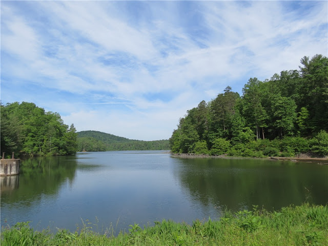
ABOUT THE PARK:
Rocky Knob/Rock Castle Gorge Trails - Virginia Birding and Wildlife Trails
Rocky Knob Trails - Virtual Blue Ridge
DIRECTIONS:
Where this hike generally starts at the higher elevation of the Blue Ridge Parkway, I wanted to get the steepest climb out of the way first so I started low in the gorge. These directions are for that parking area.
View Larger Map
 |
| Parking for 4 cars on the left (2 on either side) and additional parking to the right all the way to the dead end. |
TRAIL MAP:
Rocky Knob Trails - National Park Service
HIKE DISTANCE:
Everything says this hike is 10.8 miles although I measured it out at 11.3 miles with the first third and last third of the hike jiving with given mileage - something was different along the Blue Ridge Parkway section - the difference is probably from circling around cows and crossing over the Blue Ridge Parkway for views on the other side.
PEAK BAGGING:
Rocky Knob - Peakery.com
Grassy Knoll - Peakery.com
THE HIKE:
 |
| From the parking area, cross the barrier and bridge and continue straight on the fire road. |
 |
| Make a sharp right turn on the green-blazed. Rock Castle Gorge Trail. |
 |
| The trail starts out very easy along the creek through beautiful forests. |
 |
| During mid-May an explosion of wildflowers throughout most of this hike. |
 |
| The trail will start to climb more steeply. |
 |
| And more steeply. |
 |
| The trail ascends more gently through pastures along the Blue Ridge Parkway. Posts mark the way. |
 |
| An interesting tree growing out of a rock in the mountaintop meadow. |
 |
| There were many cows in the pastures we hiked through. |
 |
| The cow on the right was standing in the middle of the trail and had no intention of moving so we made a wide circle around her and she kept her eye on us. |
 |
| There will be several stiles to cross - some with steps like this... |
 |
| ... and a couple of walk-through stiles |
 |
| The trail traverses The Saddle at the Blue Ridge Parkway. |
 |
| On the opposite side of the Blue Ridge Parkway from The Saddle overlook, Buffalo Mountain. |
 |
| An old shelter from when the Appalachian Trail used to pass this way before being rerouted. |
 |
| View from the old AT shelter. |
 |
| View from Rocky Knob |
 |
| View from the Grassy Knoll |
 |
| Starting the descent back into the gorge. |
 |
| Descending through Catawba Rhododendrom |
 |
| Going down is easier than coming up was. |
 |
| Passing through Bare Rocks. |
 |
| Old fireplace and chimney in the woods. |
 |
| Cascades in Rock Castle Creek |
 |
| The trail becomes an old woods road following along the creek with several bridge crossings. |
 |
| The Austin House, built in 1916, privately owned. |
 |
| Final stretch through a campground. |
 |
| Driving back to the cabin at Fairy Stone State Park I saw a bird sitting in the middle of the highway and she did not fly away when I passed her. There was no traffic so I put on my flashers, backed up, jumped out and scooped her up. I held in my hand the Virginia State Bird. It appeared as though she had been clipped by a car and was dazed. |
HIKE SUMMARY:
[0.00] From parking cross barrier and bridge, continue straight on fire road
[0.10] Make sharp right turn on to green-blazed Rock Castle Gorge Trail
[0.50] Trail becomes steeper
[1.25] Cross over huge blowdown; trail becomes much steeper
[1.40] Trails levels out some and beyond bench on right becomes very smooth and level
[2.00] Cross two bridges
[2.80] Rock hop over creek
[3.00] Cross fence on stile
[3.15] Rocky Knob Campground on right other side of Blue Ridge Parkway
[3.70] Leave cow pasture via walk through stile
[3.90] Saddle Overlook
[4.00] Keep left at fork - no blazes through this area which goes over Rocky Knob
[4.15] Former Appalachian Trail shelter from before the AT was relocated; continue other side of shelter following ledge when other unmarked trails go right towards the parkway; top of incline is Rocky Knob
[4.40] Green blazes start again
[4.65] Turn left at T-intersection
[5.05] Rock Castle Gorge Overlook
[5.40] Keep left when a trail goes up steps to right
[5.45] Twelve O'Clock Knob; trail now blazed both green and blue
[5.55] Straight on green/blue when unmarked comes in from right
[6.05] Cross fence on stile
[6.40] Grassy Knoll; just beyond bench keep left on green when blue leaves to the right
[7.10] Cross fence on stile
[7.75] Rock hop over creek
[8.30] Trail goes over boulders of Bare Rocks
[8.65] Old chimney on left
[8.70] Cross bridge
[8.75] Turn left on woods road at T-intersection
[9.50] Cross bridge
[9.65] Cross bridge and rock hop creek
[9.90] Austin house, built in 1916 on right (privately owned)
[10.10] Cross bridge
[10.90] Campground
[11.20] Keep straight when Rock Castle Gorge Trail goes left
[11.30] Back at parking


